75 Huguenot Rd Oxford, MA 01540
Estimated Value: $398,000 - $519,931
3
Beds
2
Baths
1,144
Sq Ft
$395/Sq Ft
Est. Value
About This Home
This home is located at 75 Huguenot Rd, Oxford, MA 01540 and is currently estimated at $451,483, approximately $394 per square foot. 75 Huguenot Rd is a home located in Worcester County with nearby schools including Alfred M Chaffee, Oxford High School, and Clara Barton Elementary School.
Ownership History
Date
Name
Owned For
Owner Type
Purchase Details
Closed on
Apr 25, 2016
Sold by
Rose M Larson Irt
Bought by
Larson John A
Current Estimated Value
Purchase Details
Closed on
Apr 3, 2008
Sold by
Larson Rose M
Bought by
Rose M Larson Irt and Larson John A
Purchase Details
Closed on
Apr 3, 1997
Sold by
Morgan Frank C
Bought by
Larson John A and Larson Rose M
Create a Home Valuation Report for This Property
The Home Valuation Report is an in-depth analysis detailing your home's value as well as a comparison with similar homes in the area
Home Values in the Area
Average Home Value in this Area
Purchase History
| Date | Buyer | Sale Price | Title Company |
|---|---|---|---|
| Larson John A | -- | -- | |
| Rose M Larson Irt | -- | -- | |
| Larson John A | $35,000 | -- |
Source: Public Records
Tax History Compared to Growth
Tax History
| Year | Tax Paid | Tax Assessment Tax Assessment Total Assessment is a certain percentage of the fair market value that is determined by local assessors to be the total taxable value of land and additions on the property. | Land | Improvement |
|---|---|---|---|---|
| 2025 | $60 | $473,700 | $155,700 | $318,000 |
| 2024 | $5,725 | $424,700 | $145,600 | $279,100 |
| 2023 | $5,757 | $422,100 | $130,000 | $292,100 |
| 2022 | $5,716 | $353,700 | $100,900 | $252,800 |
| 2021 | $5,387 | $325,900 | $97,300 | $228,600 |
| 2020 | $5,228 | $313,800 | $97,300 | $216,500 |
| 2019 | $4,377 | $257,000 | $81,500 | $175,500 |
| 2018 | $4,164 | $241,100 | $81,500 | $159,600 |
| 2017 | $4,152 | $246,400 | $81,500 | $164,900 |
| 2016 | $4,172 | $246,400 | $81,500 | $164,900 |
| 2015 | $3,891 | $246,400 | $81,500 | $164,900 |
| 2014 | $3,804 | $253,600 | $81,500 | $172,100 |
Source: Public Records
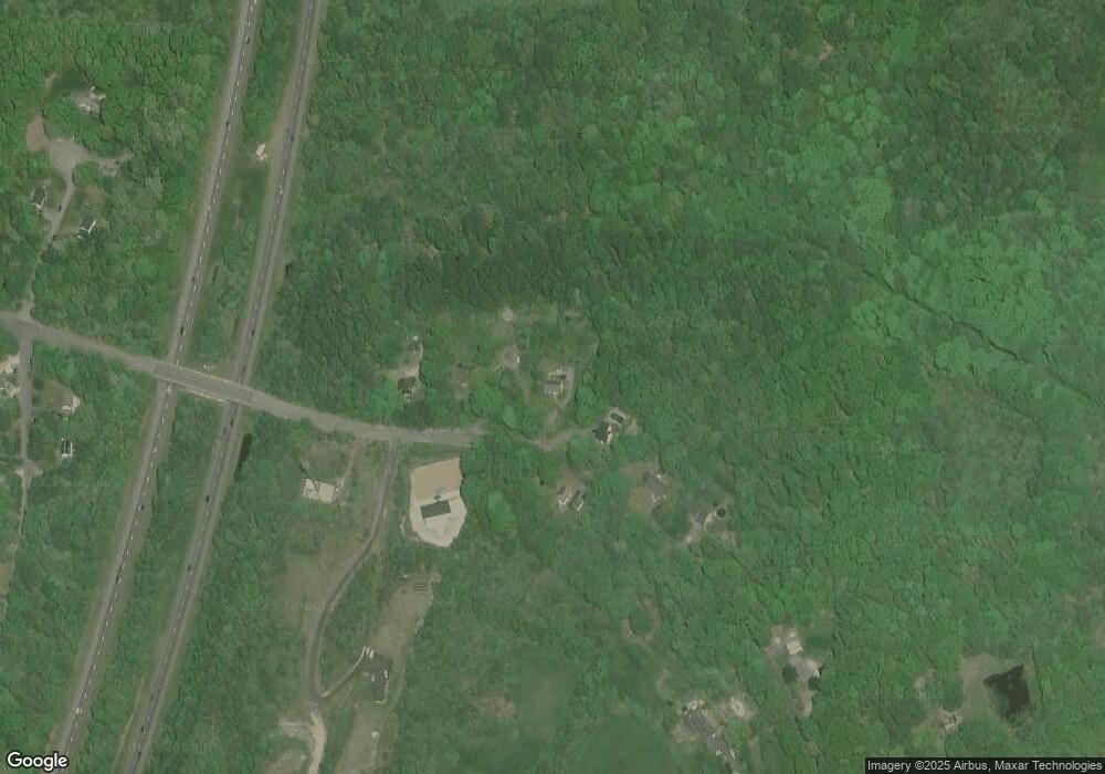
Map
Nearby Homes
- 77 Huguenot Rd
- 73 Huguenot Rd
- 76 Huguenot Rd
- 71 Huguenot Rd
- 87 Huguenot Rd
- 68 - 70 Huguenot
- 100 Huguenot Rd
- Lot 1 Southbridge Rd (Off Rt 20)
- Lots 1&2 Huguenot Rd
- Parcel 4 Dana Rd
- Parcel 3 Dana Rd
- Parcel 1 Dana Rd
- 0 Wayne Ave Extension
- 95 Huguenot Rd
- 70 Huguenot Rd
- 40 Westview Dr
- 105 Huguenot Rd
- 38 Westview Dr
- 3 Arrowhead Dr
- 2 Arrowhead Dr