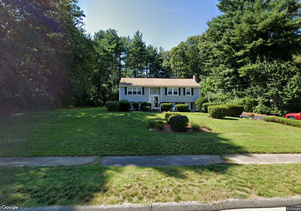
75 King James Way Wrentham, MA 02093
Estimated Value: $585,000 - $677,000
4
Beds
2
Baths
1,290
Sq Ft
$481/Sq Ft
Est. Value
About This Home
This home is located at 75 King James Way, Wrentham, MA 02093 and is currently estimated at $620,681, approximately $481 per square foot. 75 King James Way is a home located in Norfolk County with nearby schools including Delaney Elementary School, Charles E Roderick, and Foxborough Regional Charter School.
Ownership History
Date
Name
Owned For
Owner Type
Purchase Details
Closed on
Sep 16, 1991
Sold by
Tedeschi Louise
Bought by
Kennedy Richard F and Kennedy Deborah A
Current Estimated Value
Home Financials for this Owner
Home Financials are based on the most recent Mortgage that was taken out on this home.
Original Mortgage
$130,500
Interest Rate
9.34%
Mortgage Type
Purchase Money Mortgage
Create a Home Valuation Report for This Property
The Home Valuation Report is an in-depth analysis detailing your home's value as well as a comparison with similar homes in the area
Home Values in the Area
Average Home Value in this Area
Purchase History
| Date | Buyer | Sale Price | Title Company |
|---|---|---|---|
| Kennedy Richard F | $152,500 | -- |
Source: Public Records
Mortgage History
| Date | Status | Borrower | Loan Amount |
|---|---|---|---|
| Open | Kennedy Richard F | $210,000 | |
| Closed | Kennedy Richard F | $133,000 | |
| Closed | Kennedy Richard F | $130,500 |
Source: Public Records
Tax History Compared to Growth
Tax History
| Year | Tax Paid | Tax Assessment Tax Assessment Total Assessment is a certain percentage of the fair market value that is determined by local assessors to be the total taxable value of land and additions on the property. | Land | Improvement |
|---|---|---|---|---|
| 2025 | $6,276 | $541,500 | $289,100 | $252,400 |
| 2024 | $5,951 | $495,900 | $289,100 | $206,800 |
| 2023 | $5,740 | $454,800 | $262,900 | $191,900 |
| 2022 | $5,598 | $409,500 | $245,300 | $164,200 |
| 2021 | $4,739 | $336,800 | $214,100 | $122,700 |
| 2020 | $5,198 | $364,800 | $190,400 | $174,400 |
| 2019 | $4,994 | $353,700 | $190,400 | $163,300 |
| 2018 | $4,971 | $349,100 | $190,600 | $158,500 |
| 2017 | $4,684 | $328,700 | $186,900 | $141,800 |
| 2016 | $4,602 | $322,300 | $181,500 | $140,800 |
| 2015 | $4,464 | $298,000 | $174,500 | $123,500 |
| 2014 | $4,175 | $272,700 | $153,800 | $118,900 |
Source: Public Records
Map
Nearby Homes
- 1 Lorraine Metcalf Dr
- 362 East St
- 270 Dedham St
- 10 Nature View Dr
- 15 Nature View Dr
- 65 Pond St
- 319 Taunton St
- 25 Foxboro Rd
- 120 Hawes St
- 483 Thurston St
- 131 Creek St Unit 7
- 246 Forest Grove Ave
- 11 Earle Stewart Ln
- 10 W Birch Rd
- 0 W Birch Rd
- 3 Oak Rd
- Lot 3 - 14 Earle Stewart Ln
- Lot 1 - Blueberry 2 Car Plan at King Philip Estates
- Lot 8 - Blueberry 2 Car Plan at King Philip Estates
- Lot 6 - Blueberry 3 Car Plan at King Philip Estates
- 85 King James Way
- 95 King James Way
- 65 King James Way
- 199 Janice Cir
- 191 Janice Cir
- 201 Janice Cir
- 70 King James Way
- 60 King James Way
- 80 King James Way
- 183 Janice Cir
- 55 King James Way
- 50 King James Way
- 207 Janice Cir
- 198 Janice Cir
- 105 King James Way
- 186 Janice Cir
- 215 Janice Cir
- 40 Trafalgar Square
- 45 King James Way
- 90 King James Way