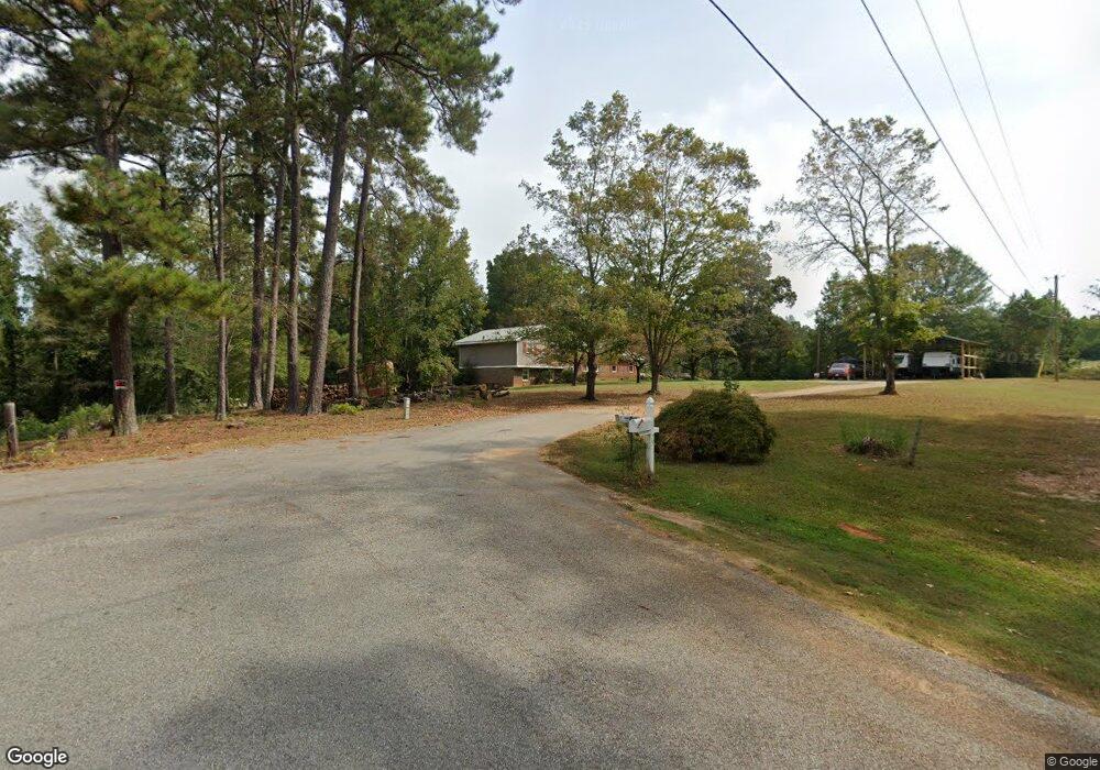
75 Knowles Dr Carrollton, GA 30117
Estimated Value: $310,880 - $352,000
3
Beds
2
Baths
1,897
Sq Ft
$175/Sq Ft
Est. Value
About This Home
This home is located at 75 Knowles Dr, Carrollton, GA 30117 and is currently estimated at $332,720, approximately $175 per square foot. 75 Knowles Dr is a home located in Carroll County with nearby schools including Bowdon Elementary School, Bowdon Middle School, and Bowdon High School.
Ownership History
Date
Name
Owned For
Owner Type
Purchase Details
Closed on
May 13, 2005
Sold by
Morris Dale S and Morris Jane
Bought by
Horton Anthony D
Current Estimated Value
Home Financials for this Owner
Home Financials are based on the most recent Mortgage that was taken out on this home.
Original Mortgage
$121,650
Outstanding Balance
$63,266
Interest Rate
5.8%
Mortgage Type
New Conventional
Estimated Equity
$269,454
Purchase Details
Closed on
May 25, 1996
Sold by
Gibbs Gibbs and Gibbs Davis
Bought by
Morris Dale S and Morris Jane
Purchase Details
Closed on
May 25, 1982
Bought by
Gibbs Gibbs and Gibbs Davis
Create a Home Valuation Report for This Property
The Home Valuation Report is an in-depth analysis detailing your home's value as well as a comparison with similar homes in the area
Home Values in the Area
Average Home Value in this Area
Purchase History
| Date | Buyer | Sale Price | Title Company |
|---|---|---|---|
| Horton Anthony D | $121,700 | -- | |
| Horton Anthony Dale | $121,650 | -- | |
| Morris Dale S | $65,000 | -- | |
| Gibbs Gibbs | -- | -- |
Source: Public Records
Mortgage History
| Date | Status | Borrower | Loan Amount |
|---|---|---|---|
| Open | Horton Anthony D | $121,650 |
Source: Public Records
Tax History Compared to Growth
Tax History
| Year | Tax Paid | Tax Assessment Tax Assessment Total Assessment is a certain percentage of the fair market value that is determined by local assessors to be the total taxable value of land and additions on the property. | Land | Improvement |
|---|---|---|---|---|
| 2024 | $2,132 | $124,100 | $15,848 | $108,252 |
| 2023 | $2,087 | $111,050 | $12,679 | $98,371 |
| 2022 | $1,674 | $87,414 | $8,453 | $78,961 |
| 2021 | $1,482 | $74,353 | $6,762 | $67,591 |
| 2020 | $1,328 | $65,782 | $6,148 | $59,634 |
| 2019 | $1,237 | $60,392 | $6,148 | $54,244 |
| 2018 | $1,065 | $50,211 | $3,297 | $46,914 |
| 2017 | $1,067 | $50,211 | $3,297 | $46,914 |
Source: Public Records
Map
Nearby Homes
- 5119 W Highway 166
- 90 Washington St
- 103 Red Oak Dr
- 64 Twin Oak Dr
- 102 Red Oak Dr
- 37 Cedar Dr
- 112 Scarlett Place Dr
- Plan 1709 at Scarlett Place
- Plan 2709 at Scarlett Place
- Plan 2316 at Scarlett Place
- Plan 1902 at Scarlett Place
- Plan 2100 at Scarlett Place
- Plan 1643 at Scarlett Place
- Plan 2307 at Scarlett Place
- Plan 2131 at Scarlett Place
- 132 Scarlett Place Dr
- 313 Melanie Ct
- 305 Scarlett Place Dr
- 309 Scarlett Place Dr
- 309 Melanie Ct
- 225 Old Antioch Rd
- 55 Country Valley Dr
- 35 Country Valley Dr
- 35 Country Valley Dr
- 15 Country Valley Dr
- 0 Country Valley Dr Unit 8105542
- 50 Country Valley Dr
- 40 Country Valley Dr
- 281 Old Antioch Rd
- 305 Old Antioch Rd
- 263 Old Antioch Rd
- 155 Knowles Dr
- 333 Old Antioch Rd
- 150 Knowles Dr
- 234 Old Antioch Rd
- 205 Tom Fletcher Rd
- 205 Tom Fletcher Rd Unit A
- 205 Tom Fletcher Rd Unit B
- 286 Old Antioch Rd
- 157 Old Antioch Rd