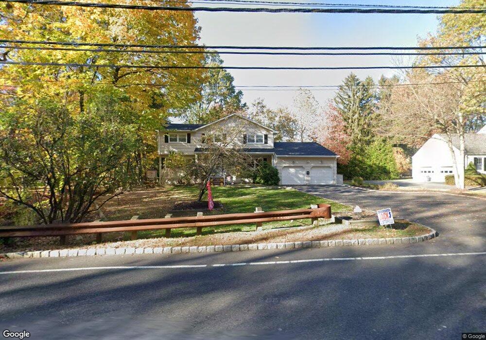
75 Laurel Ave Roseland, NJ 07068
Estimated Value: $957,786 - $1,198,000
About This Home
This home is located at 75 Laurel Ave, Roseland, NJ 07068 and is currently estimated at $1,110,697, approximately $448 per square foot. 75 Laurel Ave is a home located in Essex County with nearby schools including Lester C. Noecker Elementary School, West Essex Middle School, and West Essex High School.
Ownership History
We collect this data history from publicly available records. To have your information removed, we recommend requesting removal directly through your county’s website.
Purchase Details
Home Financials for this Owner
Home Financials are based on the most recent Mortgage that was taken out on this home.Purchase Details
Home Financials for this Owner
Home Financials are based on the most recent Mortgage that was taken out on this home.Purchase Details
Home Financials for this Owner
Home Financials are based on the most recent Mortgage that was taken out on this home.Home Values in the Area
Average Home Value in this Area
Purchase History
We collect this data history from publicly available records. To have your information removed, we recommend requesting removal directly through your county’s website.
| Date | Buyer | Sale Price | Title Company |
|---|---|---|---|
| -- | Asset Title Real Estate Serv | ||
| $575,000 | Commonwealth Land Title Insu | ||
| $100,000 | -- |
Mortgage History
We collect this data history from publicly available records. To have your information removed, we recommend requesting removal directly through your county’s website.
| Date | Status | Borrower | Loan Amount |
|---|---|---|---|
| Open | $547,415 | ||
| Closed | $43,000 | ||
| Closed | $417,000 | ||
| Previous Owner | $99,000 |
Tax History
We collect this data history from publicly available records. To have your information removed, we recommend requesting removal directly through your county’s website.
| Year | Tax Paid | Tax Assessment Tax Assessment Total Assessment is a certain percentage of the fair market value that is determined by local assessors to be the total taxable value of land and additions on the property. | Land | Improvement |
|---|---|---|---|---|
| 2025 | $13,177 | $730,000 | $329,800 | $400,200 |
| 2024 | $13,033 | $730,000 | $329,800 | $400,200 |
| 2022 | $13,146 | $563,000 | $288,300 | $274,700 |
| 2021 | $12,966 | $563,000 | $288,300 | $274,700 |
| 2020 | $12,921 | $563,000 | $288,300 | $274,700 |
| 2019 | $12,803 | $563,000 | $288,300 | $274,700 |
| 2018 | $12,690 | $563,000 | $288,300 | $274,700 |
| 2017 | $12,684 | $563,000 | $288,300 | $274,700 |
| 2016 | $12,487 | $563,000 | $288,300 | $274,700 |
| 2015 | $12,515 | $563,000 | $288,300 | $274,700 |
| 2014 | $12,166 | $563,000 | $288,300 | $274,700 |
Map
- 2 Canoe Ln
- 6 Driftway St
- 1 Hickory Ln
- 691 Eagle Rock Ave
- 9 Oxford Dr
- 91 Warren Rd
- 53 Nance Rd
- 72 Colonial Woods Dr
- 62 Colonial Woods Dr
- 12 Sandalwood Dr
- 732 Eagle Rock Ave
- 38 Porter Rd
- 37 Hemlock Rd
- 40 Hunterdon Rd
- 56 Force Hill Rd
- 101 Laurel Ave
- 12 (14) Dale Dr
- 30 Hunterdon Rd
- 12 Dale Dr
- 26 Hunterdon Rd
Ask me questions while you tour the home.