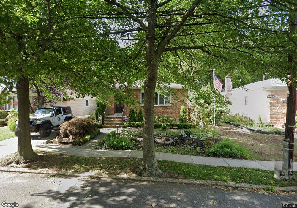
75 Leslie Ave Staten Island, NY 10305
Grasmere NeighborhoodEstimated Value: $654,498 - $780,000
--
Bed
4
Baths
1,040
Sq Ft
$690/Sq Ft
Est. Value
About This Home
This home is located at 75 Leslie Ave, Staten Island, NY 10305 and is currently estimated at $717,625, approximately $690 per square foot. 75 Leslie Ave is a home located in Richmond County with nearby schools including P.S. 48 - William C. Wilcox, I.S. 49 Berta A Dreyfus, and Curtis High School.
Ownership History
Date
Name
Owned For
Owner Type
Purchase Details
Closed on
Jan 26, 2022
Sold by
Ninivaggi Frank J
Bought by
Ninivaggi Frank J and Fallacaro James
Current Estimated Value
Purchase Details
Closed on
Jun 6, 1997
Sold by
Baragiano Marita and Baragiano Marita Ann
Bought by
Ninivaggi Frank J
Home Financials for this Owner
Home Financials are based on the most recent Mortgage that was taken out on this home.
Original Mortgage
$125,000
Interest Rate
7.97%
Create a Home Valuation Report for This Property
The Home Valuation Report is an in-depth analysis detailing your home's value as well as a comparison with similar homes in the area
Home Values in the Area
Average Home Value in this Area
Purchase History
| Date | Buyer | Sale Price | Title Company |
|---|---|---|---|
| Ninivaggi Frank J | -- | None Listed On Document | |
| Ninivaggi Frank J | $175,000 | First American Title Ins Co |
Source: Public Records
Mortgage History
| Date | Status | Borrower | Loan Amount |
|---|---|---|---|
| Previous Owner | Ninivaggi Frank J | $125,000 |
Source: Public Records
Tax History Compared to Growth
Tax History
| Year | Tax Paid | Tax Assessment Tax Assessment Total Assessment is a certain percentage of the fair market value that is determined by local assessors to be the total taxable value of land and additions on the property. | Land | Improvement |
|---|---|---|---|---|
| 2025 | $5,977 | $40,560 | $12,436 | $28,124 |
| 2024 | $5,989 | $40,140 | $11,855 | $28,285 |
| 2023 | $6,044 | $34,038 | $11,186 | $22,852 |
| 2022 | $5,882 | $40,320 | $13,980 | $26,340 |
| 2021 | $5,798 | $36,900 | $13,980 | $22,920 |
| 2020 | $5,459 | $33,840 | $13,980 | $19,860 |
| 2019 | $5,038 | $34,080 | $13,980 | $20,100 |
| 2018 | $4,897 | $28,365 | $10,978 | $17,387 |
| 2017 | $5,086 | $28,150 | $12,035 | $16,115 |
| 2016 | $4,999 | $26,558 | $13,110 | $13,448 |
| 2015 | $4,231 | $25,056 | $9,137 | $15,919 |
| 2014 | $4,231 | $23,638 | $8,956 | $14,682 |
Source: Public Records
Map
Nearby Homes
- 69 Fayette Ave
- 25 Marie St
- 23 Marie St
- 39 Winfield Ave
- 98 N Railroad Ave
- 84 Sheridan Ave
- 21 Norway Ave
- 66 Normalee Rd
- 81 Providence St
- 63 Gateway Dr Unit 172
- 25 Mallory Ave
- 4 Mccormick Place
- 164 Stonegate Dr
- 4 Sheridan Ave
- 89 Columbus Ave
- 22 Scranton St
- 112 Windermere Rd
- 185 Radcliff Rd
- 31 Alan Loop Unit 65
- 44 Quintard St
- 79 Leslie Ave
- 69 Leslie Ave
- 0 Leslie Ave
- 83 Leslie Ave
- 65 Leslie Ave
- 89 Leslie Ave
- 59 Leslie Ave
- 78 Leslie Ave
- 64 Whitney Ave Unit 86
- 64-86 Whitney Ave
- 80 Leslie Ave
- 74 Leslie Ave
- 66 Whitney Ave Unit 84
- 66-84 Whitney Ave
- 84 Leslie Ave
- 55 Leslie Ave
- 55 Leslie Ave Unit HOUSE
- 70 Leslie Ave
- 88 Leslie Ave
- 65 Parkinson Ave