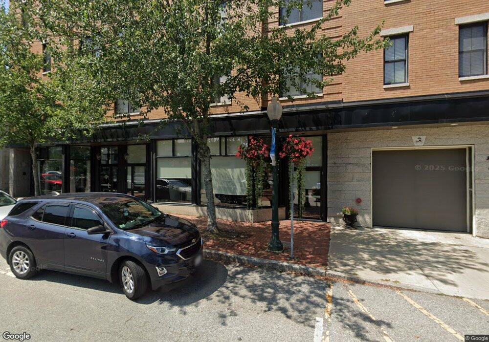
75 Main St Unit N Amesbury, MA 01913
Estimated Value: $491,482 - $558,000
2
Beds
1
Bath
1,175
Sq Ft
$441/Sq Ft
Est. Value
About This Home
This home is located at 75 Main St Unit N, Amesbury, MA 01913 and is currently estimated at $518,121, approximately $440 per square foot. 75 Main St Unit N is a home located in Essex County with nearby schools including Amesbury High School and Amesbury Seventh-Day Adventist School.
Ownership History
Date
Name
Owned For
Owner Type
Purchase Details
Closed on
May 25, 2022
Sold by
Piraino Maria and Piraino Paul
Bought by
Leo Maurice Llc
Current Estimated Value
Purchase Details
Closed on
Apr 18, 2022
Sold by
Denise Dimambro
Bought by
Maria Piraino and Maria Paul Piraino
Purchase Details
Closed on
Aug 18, 2020
Sold by
Arsenault Gary E
Bought by
Dimambro Denise
Purchase Details
Closed on
Jun 22, 2012
Sold by
Toomick Realty Llc
Bought by
Arsenault Gary E
Home Financials for this Owner
Home Financials are based on the most recent Mortgage that was taken out on this home.
Original Mortgage
$232,750
Interest Rate
3.84%
Mortgage Type
New Conventional
Create a Home Valuation Report for This Property
The Home Valuation Report is an in-depth analysis detailing your home's value as well as a comparison with similar homes in the area
Home Values in the Area
Average Home Value in this Area
Purchase History
| Date | Buyer | Sale Price | Title Company |
|---|---|---|---|
| Leo Maurice Llc | -- | None Available | |
| Maria Piraino | $450,000 | None Available | |
| Dimambro Denise | $340,000 | None Available | |
| Arsenault Gary E | $245,000 | -- |
Source: Public Records
Mortgage History
| Date | Status | Borrower | Loan Amount |
|---|---|---|---|
| Previous Owner | Arsenault Gary E | $232,750 |
Source: Public Records
Tax History
| Year | Tax Paid | Tax Assessment Tax Assessment Total Assessment is a certain percentage of the fair market value that is determined by local assessors to be the total taxable value of land and additions on the property. | Land | Improvement |
|---|---|---|---|---|
| 2025 | $7,927 | $518,100 | $0 | $518,100 |
| 2024 | $6,969 | $445,600 | $0 | $445,600 |
| 2023 | $5,345 | $327,100 | $0 | $327,100 |
| 2022 | $5,714 | $323,000 | $0 | $323,000 |
| 2021 | $5,966 | $326,900 | $0 | $326,900 |
| 2020 | $6,793 | $395,400 | $0 | $395,400 |
| 2019 | $5,103 | $277,800 | $0 | $277,800 |
| 2018 | $4,808 | $253,200 | $0 | $253,200 |
| 2017 | $5,418 | $271,600 | $0 | $271,600 |
| 2016 | $5,096 | $251,300 | $0 | $251,300 |
| 2015 | $4,889 | $238,000 | $0 | $238,000 |
| 2014 | $4,991 | $238,000 | $0 | $238,000 |
Source: Public Records
Map
Nearby Homes
- 4 Clark St
- 97 Elm St
- 25 Cedar St Unit 4
- 3 Tremont Ave Unit A
- 101 Market St Unit B
- 48 Orchard St
- 105 Market St Unit B
- 4 Greenwood St
- 1 Hillside Ave Unit 3
- 21 River St
- 21 Congress St
- 149 Market St
- 253 Main St
- 1 Brown Ave Unit 1-25
- 382 Main St
- 25 Whittier Meadows Dr
- 82 Monroe St
- 47 Cutter Ln Unit 47
- 3 Birchwood Point Unit 202
- 60 Merrimac St Unit 504
- 75 Main St Unit 69 & 71
- 75 Main St Unit 105
- 75 Main St Unit Q
- 75 Main St Unit P
- 75 Main St Unit O
- 75 Main St Unit M
- 75 Main St Unit L
- 75 Main St Unit K
- 75 Main St Unit J
- 75 Main St Unit I
- 75 Main St Unit H
- 75 Main St Unit G
- 75 Main St Unit F
- 75 Main St Unit E
- 75 Main St Unit D
- 75 Main St Unit 202
- 75 Main St Unit 305
- 75 Main St Unit 302
- 75 Main St Unit 301
- 75 Main St Unit 304
Your Personal Tour Guide
Ask me questions while you tour the home.