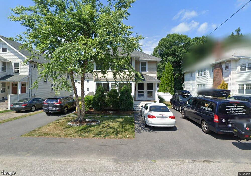
75 Maple St Needham, MA 02492
Estimated Value: $946,000 - $1,283,396
4
Beds
2
Baths
1,124
Sq Ft
$980/Sq Ft
Est. Value
About This Home
This home is located at 75 Maple St, Needham, MA 02492 and is currently estimated at $1,101,849, approximately $980 per square foot. 75 Maple St is a home located in Norfolk County with nearby schools including Newman Elementary School, High Rock Middle School, and Pollard Middle School.
Ownership History
Date
Name
Owned For
Owner Type
Purchase Details
Closed on
Jun 15, 2015
Sold by
75-77 Maple Street Rt and Day
Bought by
Reulbach Kevin and Day Carolyn
Current Estimated Value
Home Financials for this Owner
Home Financials are based on the most recent Mortgage that was taken out on this home.
Original Mortgage
$320,000
Outstanding Balance
$247,249
Interest Rate
4%
Mortgage Type
New Conventional
Estimated Equity
$854,600
Purchase Details
Closed on
Jul 19, 2013
Sold by
Day John W and Day William R
Bought by
75-77 Maple Street Rt and Day
Create a Home Valuation Report for This Property
The Home Valuation Report is an in-depth analysis detailing your home's value as well as a comparison with similar homes in the area
Home Values in the Area
Average Home Value in this Area
Purchase History
| Date | Buyer | Sale Price | Title Company |
|---|---|---|---|
| Reulbach Kevin | $480,000 | -- | |
| 75-77 Maple Street Rt | $320,000 | -- |
Source: Public Records
Mortgage History
| Date | Status | Borrower | Loan Amount |
|---|---|---|---|
| Open | Reulbach Kevin | $320,000 |
Source: Public Records
Tax History
| Year | Tax Paid | Tax Assessment Tax Assessment Total Assessment is a certain percentage of the fair market value that is determined by local assessors to be the total taxable value of land and additions on the property. | Land | Improvement |
|---|---|---|---|---|
| 2025 | $11,433 | $1,078,600 | $692,500 | $386,100 |
| 2024 | $10,826 | $864,700 | $505,400 | $359,300 |
| 2023 | $10,982 | $842,200 | $505,400 | $336,800 |
| 2022 | $10,867 | $812,800 | $476,800 | $336,000 |
| 2021 | $10,591 | $812,800 | $476,800 | $336,000 |
| 2020 | $10,302 | $824,800 | $478,700 | $346,100 |
| 2019 | $9,660 | $779,700 | $435,100 | $344,600 |
| 2018 | $9,263 | $779,700 | $435,100 | $344,600 |
| 2017 | $8,833 | $742,900 | $435,100 | $307,800 |
| 2016 | $7,017 | $608,100 | $435,100 | $173,000 |
| 2015 | $6,865 | $608,100 | $435,100 | $173,000 |
| 2014 | $6,138 | $527,300 | $395,600 | $131,700 |
Source: Public Records
Map
Nearby Homes
- 73 Maple St Unit 1
- 193 Garden St
- 233 Warren St
- 68 Pleasant St Unit 68
- 19 Highland Ct Unit 19
- 90 Norfolk St
- 19 Oakland Ave Unit 19
- 287 High Rock St
- 100 Bradford St
- 1011 Webster St
- 47 Emerson Rd
- 150 Laurel Dr
- 95 Deerfield Rd
- 36 Otis St Unit 36
- 52 Hancock Rd
- 620 High Rock St
- 60 Sutton Rd
- 569 Chestnut St
- 638 Webster St
- 638 Webster St Unit 638
- 71 Maple St
- 79 Maple St
- 73 Maple St
- 49 Oak St
- 49 Oak St Unit 49
- 59 Oak St Unit 1
- 57 Oak St Unit 1
- 59 Oak St Unit 59
- 57 Oak St Unit 57
- 51 Oak St
- 51 Oak St Unit 51
- 69 Maple St
- 85 Maple St
- 67 Maple St Unit 67
- 67 Maple St Unit 3
- 67 Maple St Unit 2
- 65 Maple St
- 65 Maple St Unit 1
- 78 Maple St
- 80 Maple St Unit 2
Your Personal Tour Guide
Ask me questions while you tour the home.