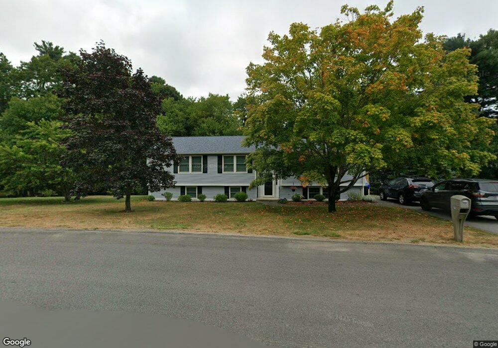
75 Mockingbird Way East Taunton, MA 02718
East Taunton NeighborhoodEstimated Value: $559,000 - $624,000
3
Beds
2
Baths
1,922
Sq Ft
$309/Sq Ft
Est. Value
About This Home
This home is located at 75 Mockingbird Way, East Taunton, MA 02718 and is currently estimated at $593,743, approximately $308 per square foot. 75 Mockingbird Way is a home located in Bristol County with nearby schools including East Taunton Elementary School, Joseph H. Martin, and Taunton High School.
Ownership History
Date
Name
Owned For
Owner Type
Purchase Details
Closed on
May 25, 2022
Sold by
Pond Barry C and Pond Therese M
Bought by
Pond Amanda R and Pond Benjamin C
Current Estimated Value
Create a Home Valuation Report for This Property
The Home Valuation Report is an in-depth analysis detailing your home's value as well as a comparison with similar homes in the area
Home Values in the Area
Average Home Value in this Area
Purchase History
| Date | Buyer | Sale Price | Title Company |
|---|---|---|---|
| Pond Amanda R | -- | None Available |
Source: Public Records
Tax History Compared to Growth
Tax History
| Year | Tax Paid | Tax Assessment Tax Assessment Total Assessment is a certain percentage of the fair market value that is determined by local assessors to be the total taxable value of land and additions on the property. | Land | Improvement |
|---|---|---|---|---|
| 2025 | $5,281 | $482,700 | $141,500 | $341,200 |
| 2024 | $4,832 | $431,800 | $141,500 | $290,300 |
| 2023 | $4,860 | $403,300 | $135,100 | $268,200 |
| 2022 | $4,828 | $366,300 | $123,300 | $243,000 |
| 2021 | $4,517 | $318,100 | $112,100 | $206,000 |
| 2020 | $4,413 | $297,000 | $112,100 | $184,900 |
| 2019 | $4,509 | $286,100 | $112,700 | $173,400 |
| 2018 | $4,334 | $275,700 | $113,800 | $161,900 |
| 2017 | $4,058 | $258,300 | $107,900 | $150,400 |
| 2016 | $3,912 | $249,500 | $104,700 | $144,800 |
| 2015 | $3,805 | $253,500 | $108,000 | $145,500 |
| 2014 | $3,676 | $251,600 | $108,000 | $143,600 |
Source: Public Records
Map
Nearby Homes
- 79 Liberty St
- 203 Bluejay Ln
- 96 Old Colony Ave Unit 264
- 96 Old Colony Ave Unit 319
- 96 Old Colony Ave Unit 227
- 96 Old Colony Ave Unit 153
- 96 Old Colony Ave Unit 313
- 526 Caswell St
- 649 Middleboro Ave
- 51 Swan Dr
- 125R Middleboro Ave
- 8 Powhattan Dr
- 218R Hart St Unit B
- 218R Hart St Unit A
- 15 Carlton St
- 147 Colonial Dr
- 172 Bumila Dr
- 95 Meeshawn Ave
- 31 Bruno's Way Unit A
- 3 Anna St
- 65 Mockingbird Way
- 206 Caswell St
- 212 Caswell St
- 83 Mockingbird Way
- 198 Caswell St
- 80 Mockingbird Way
- 220 Caswell St
- 62 Mockingbird Way
- 53 Mockingbird Way
- 91 Mockingbird Way
- 186 Caswell St
- 228 Caswell St
- 52 Mockingbird Way
- 104 Mockingbird Way
- 8 Pat Ree Dr
- 178 Caswell St
- 217 Caswell St
- 41 Mockingbird Way
- 12 Wren St
- 236 Caswell St