75 N Chapman Rd Doylestown, PA 18901
Estimated Value: $1,348,000 - $2,891,000
5
Beds
7
Baths
4,468
Sq Ft
$500/Sq Ft
Est. Value
About This Home
This home is located at 75 N Chapman Rd, Doylestown, PA 18901 and is currently estimated at $2,232,816, approximately $499 per square foot. 75 N Chapman Rd is a home located in Bucks County with nearby schools including Groveland Elementary School, Tohickon Middle School, and Central Bucks High School-West.
Ownership History
Date
Name
Owned For
Owner Type
Purchase Details
Closed on
Sep 3, 2010
Sold by
Beard Harry and Beard Jane
Bought by
Ivers Michael Anthony and Ivers Elizabeth Mary
Current Estimated Value
Create a Home Valuation Report for This Property
The Home Valuation Report is an in-depth analysis detailing your home's value as well as a comparison with similar homes in the area
Home Values in the Area
Average Home Value in this Area
Purchase History
| Date | Buyer | Sale Price | Title Company |
|---|---|---|---|
| Ivers Michael Anthony | $940,000 | None Available |
Source: Public Records
Tax History Compared to Growth
Tax History
| Year | Tax Paid | Tax Assessment Tax Assessment Total Assessment is a certain percentage of the fair market value that is determined by local assessors to be the total taxable value of land and additions on the property. | Land | Improvement |
|---|---|---|---|---|
| 2025 | $33,163 | $191,350 | $25,240 | $166,110 |
| 2024 | $33,163 | $191,350 | $25,240 | $166,110 |
| 2023 | $32,107 | $191,350 | $25,240 | $166,110 |
| 2022 | $31,472 | $191,350 | $25,240 | $166,110 |
| 2021 | $31,116 | $191,350 | $25,240 | $166,110 |
| 2020 | $31,116 | $191,350 | $25,240 | $166,110 |
| 2019 | $30,733 | $191,350 | $25,240 | $166,110 |
| 2018 | $30,733 | $191,350 | $25,240 | $166,110 |
| 2017 | $30,494 | $191,350 | $25,240 | $166,110 |
| 2016 | $30,494 | $191,350 | $25,240 | $166,110 |
| 2015 | -- | $191,350 | $25,240 | $166,110 |
| 2014 | -- | $187,330 | $25,240 | $162,090 |
Source: Public Records
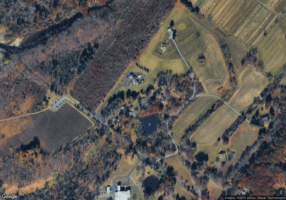
Map
Nearby Homes
- 301 Windy Run Rd
- Lot 6 Henry Ct
- 3711 Jacob Stout Rd Unit 5
- 3723 William Daves Rd
- 157 Pine Run Rd
- 3765 William Daves Rd
- 3838 Jacob Stout Rd
- 4748 Bishop Cir
- 100 Bishops Gate Ln Unit 67
- 194 Victoria Ct Unit 143
- 114 Blackfriars Cir
- 5437 Rinker Cir Unit 283
- 3923 Ferry Rd
- 62 Constitution Ave
- 1 Gatehouse Ln
- 4 Old Colonial Dr Unit 254
- 4263 Kleinot Dr
- 4317 Kleinot Dr
- 4464 Kleinot Dr
- 4330 Kleinot Dr