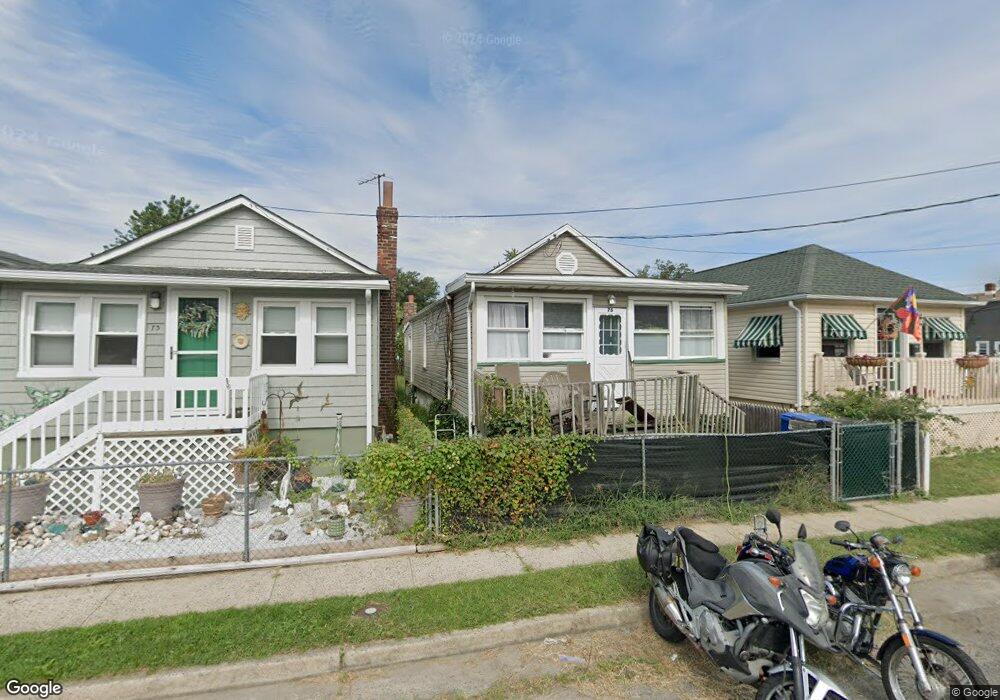
75 Navesink Ave North Middletown, NJ 07748
Estimated Value: $318,044 - $355,000
3
Beds
1
Bath
891
Sq Ft
$369/Sq Ft
Est. Value
About This Home
This home is located at 75 Navesink Ave, North Middletown, NJ 07748 and is currently estimated at $329,011, approximately $369 per square foot. 75 Navesink Ave is a home located in Monmouth County with nearby schools including Ocean Avenue Elementary School, Thorne Middle School, and Middletown High School North.
Ownership History
Date
Name
Owned For
Owner Type
Purchase Details
Closed on
Jun 30, 2005
Sold by
Liberton Bernard
Bought by
Walsh Brant and Walsh Johanna Marie
Current Estimated Value
Home Financials for this Owner
Home Financials are based on the most recent Mortgage that was taken out on this home.
Original Mortgage
$183,549
Outstanding Balance
$95,381
Interest Rate
5.59%
Mortgage Type
FHA
Estimated Equity
$233,630
Create a Home Valuation Report for This Property
The Home Valuation Report is an in-depth analysis detailing your home's value as well as a comparison with similar homes in the area
Home Values in the Area
Average Home Value in this Area
Purchase History
| Date | Buyer | Sale Price | Title Company |
|---|---|---|---|
| Walsh Brant | $185,000 | -- |
Source: Public Records
Mortgage History
| Date | Status | Borrower | Loan Amount |
|---|---|---|---|
| Open | Walsh Brant | $183,549 |
Source: Public Records
Tax History Compared to Growth
Tax History
| Year | Tax Paid | Tax Assessment Tax Assessment Total Assessment is a certain percentage of the fair market value that is determined by local assessors to be the total taxable value of land and additions on the property. | Land | Improvement |
|---|---|---|---|---|
| 2025 | $4,496 | $306,200 | $202,500 | $103,700 |
| 2024 | $3,980 | $273,300 | $171,500 | $101,800 |
| 2023 | $3,980 | $229,000 | $155,000 | $74,000 |
| 2022 | $3,203 | $183,000 | $112,500 | $70,500 |
| 2021 | $3,203 | $154,000 | $91,300 | $62,700 |
| 2020 | $2,807 | $131,300 | $70,000 | $61,300 |
| 2019 | $2,765 | $130,900 | $70,000 | $60,900 |
| 2018 | $2,776 | $128,100 | $70,000 | $58,100 |
| 2017 | $2,929 | $133,800 | $77,500 | $56,300 |
| 2016 | $2,638 | $123,800 | $62,500 | $61,300 |
| 2015 | $2,732 | $123,800 | $62,500 | $61,300 |
| 2014 | $3,250 | $143,600 | $87,500 | $56,100 |
Source: Public Records
Map
Nearby Homes
- 31 Ocean Ave
- 289 Port Monmouth Rd
- 91 Monmouth Ave
- 93 Monmouth Ave
- 31 Monmouth Ave
- 98 Seabreeze Ave
- 71 Bay Ave
- 443 Port Monmouth Rd E
- 280 Linden Ave
- 231 Shore Blvd
- 210 Ocean Ave
- 170 Park Ave
- 12 Orchard St
- 22 Carter Ave
- 0 Bray Ave Unit 22420777
- 0 Clinton St Unit 22238196
- 166 Shore Blvd
- 32 Dakota Ave
- 0 S End Ave Unit 22420779
- 151 Shore Blvd
- 73 Navesink Ave
- 71 Navesink Ave
- 80 Ideal Ave
- 82 Ideal Ave
- 78 Ideal Ave
- 65 Navesink Ave
- 49 Hudson Ave
- 45 Hudson Ave
- 63 Navesink Ave
- 70 Ideal Ave
- 84 Ideal Ave
- 336 Port Monmouth Rd
- 340 Port Monmouth Rd
- 344 Port Monmouth Rd
- 62 Navesink Ave
- 348 Port Monmouth Rd
- 68 Ideal Ave
- 57 Navesink Ave
- 6 Shoreland Terrace
- 332 Port Monmouth Rd