Estimated Value: $124,513 - $214,000
--
Bed
2
Baths
1,272
Sq Ft
$140/Sq Ft
Est. Value
About This Home
This home is located at 75 Nichols Rd, Jesup, GA 31545 and is currently estimated at $178,378, approximately $140 per square foot. 75 Nichols Rd is a home located in Wayne County with nearby schools including Martha Rawls Smith Elementary School, Arthur Williams Middle School, and Wayne County High School.
Ownership History
Date
Name
Owned For
Owner Type
Purchase Details
Closed on
Jul 23, 2024
Sold by
S & S Builders
Bought by
Bennett Denise and Bennett William
Current Estimated Value
Purchase Details
Closed on
Jun 8, 2010
Sold by
Thornton Mildred M
Bought by
Scarborough Ray and S&S Builders
Purchase Details
Closed on
May 28, 2010
Sold by
Stein Marion M
Bought by
Thornton Mildred M
Purchase Details
Closed on
Apr 1, 1999
Sold by
Thornton Mildred Virginia
Bought by
Thornton Mildred M
Purchase Details
Closed on
Aug 1, 1990
Bought by
Thornton Mildred Virginia
Purchase Details
Closed on
Mar 1, 1971
Purchase Details
Closed on
Aug 1, 1961
Create a Home Valuation Report for This Property
The Home Valuation Report is an in-depth analysis detailing your home's value as well as a comparison with similar homes in the area
Home Values in the Area
Average Home Value in this Area
Purchase History
| Date | Buyer | Sale Price | Title Company |
|---|---|---|---|
| Bennett Denise | $7,099 | -- | |
| Scarborough Ray | $14,390 | -- | |
| Thornton Mildred M | -- | -- | |
| Thornton Mildred M | -- | -- | |
| Thornton Mildred Virginia | -- | -- | |
| -- | -- | -- | |
| -- | -- | -- |
Source: Public Records
Tax History Compared to Growth
Tax History
| Year | Tax Paid | Tax Assessment Tax Assessment Total Assessment is a certain percentage of the fair market value that is determined by local assessors to be the total taxable value of land and additions on the property. | Land | Improvement |
|---|---|---|---|---|
| 2024 | $767 | $28,942 | $11,200 | $17,742 |
| 2023 | $582 | $19,394 | $5,866 | $13,528 |
| 2022 | $611 | $19,394 | $5,866 | $13,528 |
| 2021 | $654 | $19,394 | $5,866 | $13,528 |
| 2020 | $696 | $19,939 | $6,411 | $13,528 |
| 2019 | $716 | $19,939 | $6,411 | $13,528 |
| 2018 | $716 | $19,939 | $6,411 | $13,528 |
| 2017 | $617 | $19,939 | $6,411 | $13,528 |
| 2016 | $597 | $19,938 | $6,411 | $13,528 |
| 2014 | $598 | $19,938 | $6,411 | $13,528 |
| 2013 | -- | $19,937 | $6,410 | $13,527 |
Source: Public Records
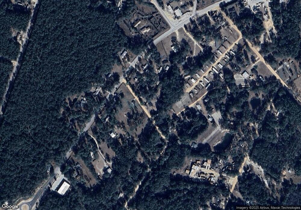
Map
Nearby Homes
- 141 Nichols Rd
- 2636 Beechwood Dr
- 2606 Beechwood Dr
- 2 Rayonier Rd
- 3 Rayonier Rd
- 1 Rayonier Rd
- 1275 Rayonier Rd
- 47 Yellow Pine Rd
- 50 Sangster Rd
- 24 Sangster Rd
- 196 Pine Ridge Rd
- 290 Yellow Pine Rd
- 260 Pine Ridge Rd
- 125 Pleasant Way
- 200 W Melody Dr
- 0 Shrine Club Rd Unit 163602
- 161 Evors Rd
- 186 Community Cir
- 1276 Spring Grove Rd
- 131 Mill Creek Ln
- 115 Nichols Rd
- 225 Lark Rd
- 191 Lark Rd
- 1800 Rayonier Rd
- 120 Baker Estate
- 120 Baker Estate
- 159 Nichols Rd
- 1818 Rayonier Rd
- 148 Nichols Rd
- 145 Lark Rd
- 1741 Rayonier Rd
- 1640 Rayonier Rd
- 187 Nichols Rd
- 120 Ohio Rd
- 1641 Rayonier Rd Unit B
- 1641 Rayonier Rd Unit C
- 1641 Rayonier Rd
- 189 Nichols Rd
- 1558 Rayonier Rd
- 0000 Killingsworth Rd