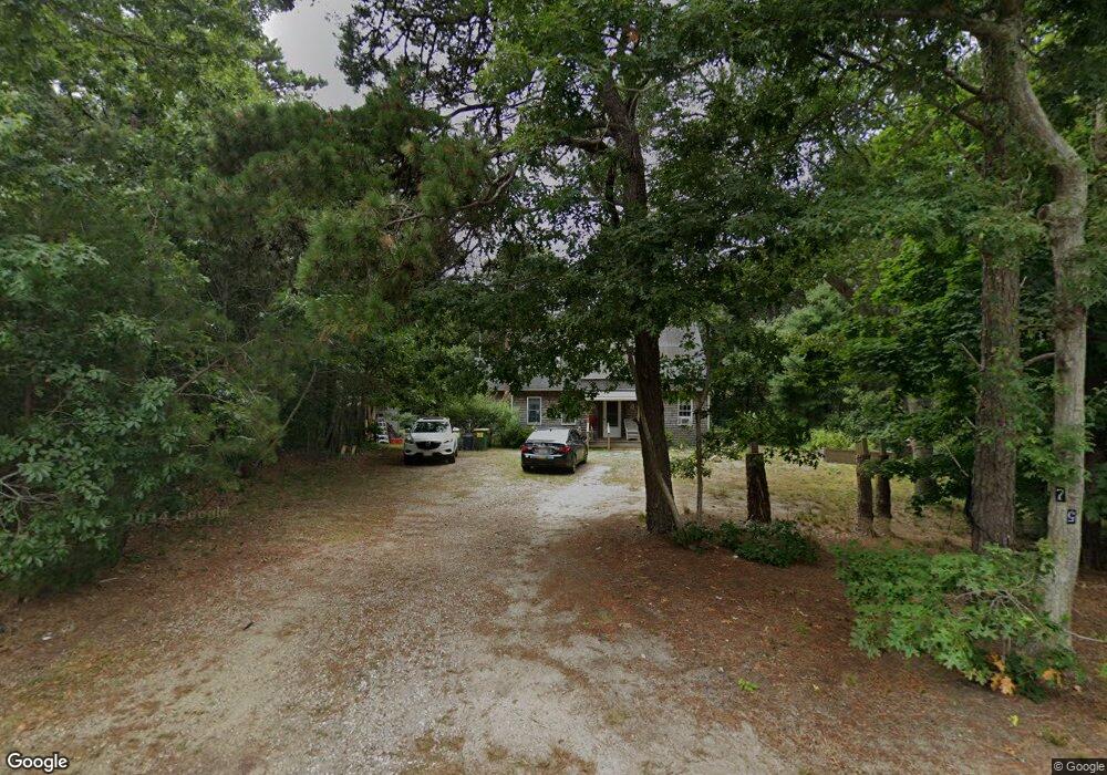
75 Northwest St Eastham, MA 02642
Estimated Value: $743,762 - $968,000
2
Beds
2
Baths
1,272
Sq Ft
$661/Sq Ft
Est. Value
About This Home
This home is located at 75 Northwest St, Eastham, MA 02642 and is currently estimated at $840,691, approximately $660 per square foot. 75 Northwest St is a home located in Barnstable County with nearby schools including Eastham Elementary School, Nauset Regional Middle School, and Nauset Regional High School.
Ownership History
Date
Name
Owned For
Owner Type
Purchase Details
Closed on
Nov 13, 2009
Sold by
Jarvis Marilyn C and Jarvis Thomas L
Bought by
Taylor Victoria D and Mccombie Jon W
Current Estimated Value
Home Financials for this Owner
Home Financials are based on the most recent Mortgage that was taken out on this home.
Original Mortgage
$320,000
Outstanding Balance
$208,734
Interest Rate
4.98%
Mortgage Type
Purchase Money Mortgage
Estimated Equity
$631,957
Purchase Details
Closed on
Jan 11, 2002
Sold by
Hartman Richard J and Fleming Jorie A
Bought by
Jarvis Thomas L and Jarvis Marilyn C
Home Financials for this Owner
Home Financials are based on the most recent Mortgage that was taken out on this home.
Original Mortgage
$150,000
Interest Rate
7.04%
Mortgage Type
Purchase Money Mortgage
Purchase Details
Closed on
Jul 6, 2001
Sold by
Rd Meador Inc
Bought by
Hartmann Richard J and Hartmann Jorie A
Home Financials for this Owner
Home Financials are based on the most recent Mortgage that was taken out on this home.
Original Mortgage
$165,500
Interest Rate
7.21%
Mortgage Type
Purchase Money Mortgage
Create a Home Valuation Report for This Property
The Home Valuation Report is an in-depth analysis detailing your home's value as well as a comparison with similar homes in the area
Home Values in the Area
Average Home Value in this Area
Purchase History
| Date | Buyer | Sale Price | Title Company |
|---|---|---|---|
| Taylor Victoria D | $400,000 | -- | |
| Jarvis Thomas L | $278,000 | -- | |
| Hartmann Richard J | $86,900 | -- |
Source: Public Records
Mortgage History
| Date | Status | Borrower | Loan Amount |
|---|---|---|---|
| Open | Taylor Victoria D | $320,000 | |
| Previous Owner | Hartmann Richard J | $150,000 | |
| Previous Owner | Hartmann Richard J | $165,500 |
Source: Public Records
Tax History
| Year | Tax Paid | Tax Assessment Tax Assessment Total Assessment is a certain percentage of the fair market value that is determined by local assessors to be the total taxable value of land and additions on the property. | Land | Improvement |
|---|---|---|---|---|
| 2025 | $4,956 | $642,800 | $272,200 | $370,600 |
| 2024 | $4,376 | $624,200 | $264,200 | $360,000 |
| 2023 | $4,070 | $562,100 | $244,700 | $317,400 |
| 2022 | $3,816 | $444,800 | $218,500 | $226,300 |
| 2021 | $3,734 | $406,800 | $198,600 | $208,200 |
| 2020 | $3,467 | $397,600 | $202,700 | $194,900 |
| 2019 | $3,204 | $388,400 | $196,800 | $191,600 |
| 2018 | $3,128 | $374,600 | $191,100 | $183,500 |
| 2017 | $2,879 | $364,400 | $187,300 | $177,100 |
| 2016 | $2,703 | $363,300 | $187,300 | $176,000 |
| 2015 | $2,518 | $354,600 | $183,600 | $171,000 |
Source: Public Records
Map
Nearby Homes
- 55 Grandfathers Way
- 330 Hay Rd
- 704 State Hwy
- 1061 State Hwy Unit 4
- 1061 State Hwy Unit 1061
- 20 Kittiwake Ln
- 25 Twin Rocks Dr
- 320 State Hwy
- 60 Smith Heights Way
- 10 Cartway N
- 20 Stone Ct
- 59 Bridge Rd
- 40 Bayview Rd
- 655 Herring Brook Rd
- 46 Freeman Ln
- 339 Dyer Prince Rd
- 181 Rock Harbor Rd
- 2 Reilly Run
- 480 Dyer Prince Rd
- 343 Tonset Rd
- 81 Northwest St
- 55 Northwest St
- 55 Northwest St Unit 1
- 18 White Pines Dr
- 85 Northwest St
- 80 Northwest St
- 60 Northwest St
- 45 Northwest St
- 16 White Pines Dr
- 95 Northwest St
- 22 White Pines Dr
- 60 East St
- 35 Bayland Way
- 5 Bayland Way
- 40 NW 35 and 45 Se St St
- 14 White Pines Dr
- 50 East St
- 15 White Pines Dr
- 24 White Pines Dr
- 11 White Pines Dr
Your Personal Tour Guide
Ask me questions while you tour the home.