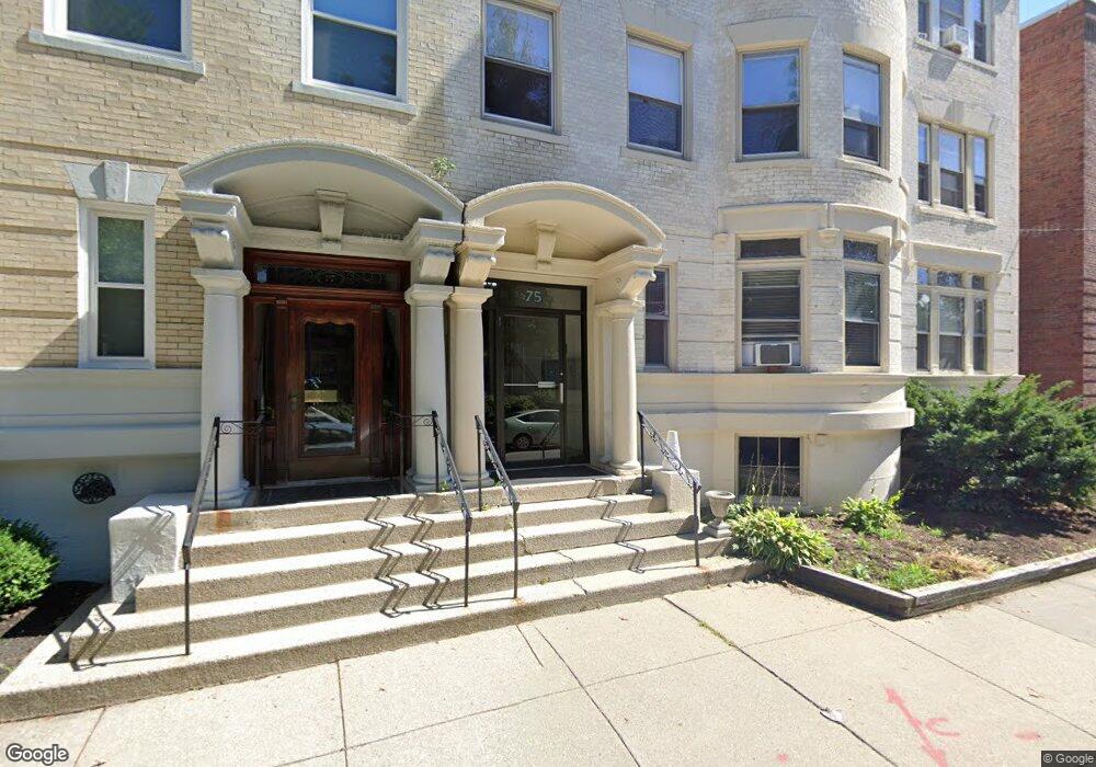
75 Park St Unit 7 Brookline, MA 02446
Coolidge Corner NeighborhoodEstimated Value: $627,000 - $844,000
2
Beds
1
Bath
995
Sq Ft
$735/Sq Ft
Est. Value
About This Home
This home is located at 75 Park St Unit 7, Brookline, MA 02446 and is currently estimated at $731,108, approximately $734 per square foot. 75 Park St Unit 7 is a home located in Norfolk County with nearby schools including Pierce School, Brookline High School, and St. Mary of the Assumption Elementary School.
Ownership History
Date
Name
Owned For
Owner Type
Purchase Details
Closed on
Dec 31, 1996
Sold by
Tragakis Stavroula and Tragakis Michael P
Bought by
Shaar Revital
Current Estimated Value
Home Financials for this Owner
Home Financials are based on the most recent Mortgage that was taken out on this home.
Original Mortgage
$80,000
Interest Rate
7.55%
Mortgage Type
Purchase Money Mortgage
Purchase Details
Closed on
Sep 2, 1987
Sold by
Ward Peter T
Bought by
Tragakis Stavroula
Create a Home Valuation Report for This Property
The Home Valuation Report is an in-depth analysis detailing your home's value as well as a comparison with similar homes in the area
Home Values in the Area
Average Home Value in this Area
Purchase History
| Date | Buyer | Sale Price | Title Company |
|---|---|---|---|
| Shaar Revital | $125,000 | -- | |
| Tragakis Stavroula | $167,000 | -- |
Source: Public Records
Mortgage History
| Date | Status | Borrower | Loan Amount |
|---|---|---|---|
| Open | Tragakis Stavroula | $100,000 | |
| Closed | Tragakis Stavroula | $80,000 |
Source: Public Records
Tax History
| Year | Tax Paid | Tax Assessment Tax Assessment Total Assessment is a certain percentage of the fair market value that is determined by local assessors to be the total taxable value of land and additions on the property. | Land | Improvement |
|---|---|---|---|---|
| 2025 | $6,441 | $652,600 | $0 | $652,600 |
| 2024 | $6,251 | $639,800 | $0 | $639,800 |
| 2023 | $6,194 | $621,300 | $0 | $621,300 |
| 2022 | $6,207 | $609,100 | $0 | $609,100 |
| 2021 | $5,910 | $603,100 | $0 | $603,100 |
| 2020 | $5,644 | $597,200 | $0 | $597,200 |
| 2019 | $5,329 | $568,700 | $0 | $568,700 |
| 2018 | $5,037 | $532,500 | $0 | $532,500 |
| 2017 | $4,872 | $493,100 | $0 | $493,100 |
| 2016 | $4,671 | $448,300 | $0 | $448,300 |
| 2015 | $4,352 | $407,500 | $0 | $407,500 |
| 2014 | $4,219 | $370,400 | $0 | $370,400 |
Source: Public Records
Map
Nearby Homes
- 80 Park St Unit 75
- 70 Park St Unit 17
- 80 Vernon St Unit PHB
- 80 Vernon St Unit 1-A
- 80 Vernon St Unit 2B
- 80 Vernon St Unit PHA
- 80 Vernon St Unit 3A
- 24 Auburn St Unit 2
- 125 Park St Unit 2
- 1407 Beacon St Unit 8
- 20 Webster St Unit 307
- 25 Webster St
- 441 Washington St Unit 5
- 20 Winchester St Unit 3
- 17 Summit Ave Unit 2
- 2-14 Saint Paul St Unit 403
- 401 Washington St Unit 6
- 19 Winchester St Unit 711
- 19 Winchester St Unit 110
- 1495 Beacon St Unit G
- 75 Park St Unit B
- 75 Park St Unit 9
- 75 Park St Unit 8
- 75 Park St Unit 6
- 75 Park St Unit 5
- 75 Park St Unit 4
- 75 Park St Unit 3
- 75 Park St Unit 2
- 75 Park St Unit 1
- 75 Park St Unit 2,75
- 75 Park St
- 75 Park St Unit 1B
- 75 Park St Unit 9,75
- 75 Park St Unit 6,75
- 75 Park St Unit B-1(101)
- 75 Park St Unit A
- 73 Park St Unit B
- 73 Park St Unit 6
- 73 Park St Unit 5
- 73 Park St Unit 4
Your Personal Tour Guide
Ask me questions while you tour the home.