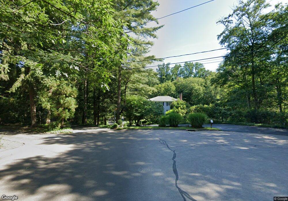
75 Pheasant Dr New Canaan, CT 06840
Estimated Value: $1,651,170 - $2,032,000
4
Beds
4
Baths
2,614
Sq Ft
$700/Sq Ft
Est. Value
About This Home
This home is located at 75 Pheasant Dr, New Canaan, CT 06840 and is currently estimated at $1,829,293, approximately $699 per square foot. 75 Pheasant Dr is a home located in Fairfield County with nearby schools including East Elementary School, Saxe Middle School, and New Canaan High School.
Ownership History
Date
Name
Owned For
Owner Type
Purchase Details
Closed on
Dec 8, 2009
Sold by
Finn Denise B
Bought by
Finn Stephen A and Finn Denise B
Current Estimated Value
Purchase Details
Closed on
Jun 19, 1998
Sold by
Peet Stephen M and Peet Roberta E
Bought by
Finn Denise P
Home Financials for this Owner
Home Financials are based on the most recent Mortgage that was taken out on this home.
Original Mortgage
$415,000
Interest Rate
7.09%
Mortgage Type
Unknown
Purchase Details
Closed on
Jan 20, 1988
Sold by
Metzger Clyde
Bought by
Peet Stephen
Home Financials for this Owner
Home Financials are based on the most recent Mortgage that was taken out on this home.
Original Mortgage
$375,000
Interest Rate
10.64%
Create a Home Valuation Report for This Property
The Home Valuation Report is an in-depth analysis detailing your home's value as well as a comparison with similar homes in the area
Home Values in the Area
Average Home Value in this Area
Purchase History
| Date | Buyer | Sale Price | Title Company |
|---|---|---|---|
| Finn Stephen A | -- | -- | |
| Finn Denise P | $749,500 | -- | |
| Peet Stephen | $575,000 | -- |
Source: Public Records
Mortgage History
| Date | Status | Borrower | Loan Amount |
|---|---|---|---|
| Previous Owner | Peet Stephen | $399,000 | |
| Previous Owner | Peet Stephen | $404,000 | |
| Previous Owner | Peet Stephen | $415,000 | |
| Previous Owner | Peet Stephen | $375,000 |
Source: Public Records
Tax History
| Year | Tax Paid | Tax Assessment Tax Assessment Total Assessment is a certain percentage of the fair market value that is determined by local assessors to be the total taxable value of land and additions on the property. | Land | Improvement |
|---|---|---|---|---|
| 2025 | $14,952 | $895,860 | $499,800 | $396,060 |
| 2024 | $14,459 | $895,860 | $499,800 | $396,060 |
| 2023 | $13,177 | $695,730 | $447,370 | $248,360 |
| 2022 | $12,781 | $695,730 | $447,370 | $248,360 |
| 2021 | $12,634 | $695,730 | $447,370 | $248,360 |
| 2020 | $12,634 | $695,730 | $447,370 | $248,360 |
| 2019 | $12,690 | $695,730 | $447,370 | $248,360 |
| 2018 | $11,872 | $700,000 | $438,410 | $261,590 |
| 2017 | $11,669 | $700,000 | $438,410 | $261,590 |
| 2016 | $11,417 | $700,000 | $438,410 | $261,590 |
| 2015 | $11,592 | $700,000 | $438,410 | $261,590 |
| 2014 | $12,069 | $776,650 | $438,410 | $338,240 |
Source: Public Records
Map
Nearby Homes
- 199 Mariomi Rd
- 196 Mariomi Rd
- 21 Woods End Dr
- 30 Wild Duck Rd
- 326 Thayer Pond Rd
- 30L Huckleberry Hill Rd
- 760 Valley Rd
- 35 Marvin Ridge Place
- 360 Thayer Pond Rd
- 114 Ferris Hill Rd
- 245 Benedict Hill Rd
- 16 Trails End Rd
- 45 Ledgewood Dr
- 44 Benedict Hill Rd
- 35 Canoe Hill Rd
- 729 Smith Ridge Rd
- 240 Rosebrook Rd
- 73 Old Kings Hwy
- 531L N Wilton Rd
- 42 Sturbridge Hill Rd
- 196 Thayer Pond Rd
- 65 Pheasant Dr
- 66 Pheasant Dr
- 180 Thayer Pond Rd
- 74 Pheasant Dr
- 216 Thayer Pond Rd
- 52 Pheasant Dr
- 31 Pheasant Dr
- 206 Thayer Pond Rd
- 38 Pheasant Dr
- 214 Thayer Pond Rd
- 212 Thayer Pond Rd
- 174 Thayer Pond Rd
- 223 Mariomi Rd
- 17 Pheasant Dr
- 140 Thayer Pond Rd
- 239 Mariomi Rd
- 124 Thayer Pond Rd
- 283 Mariomi Rd
- 181 Mariomi Rd
Your Personal Tour Guide
Ask me questions while you tour the home.