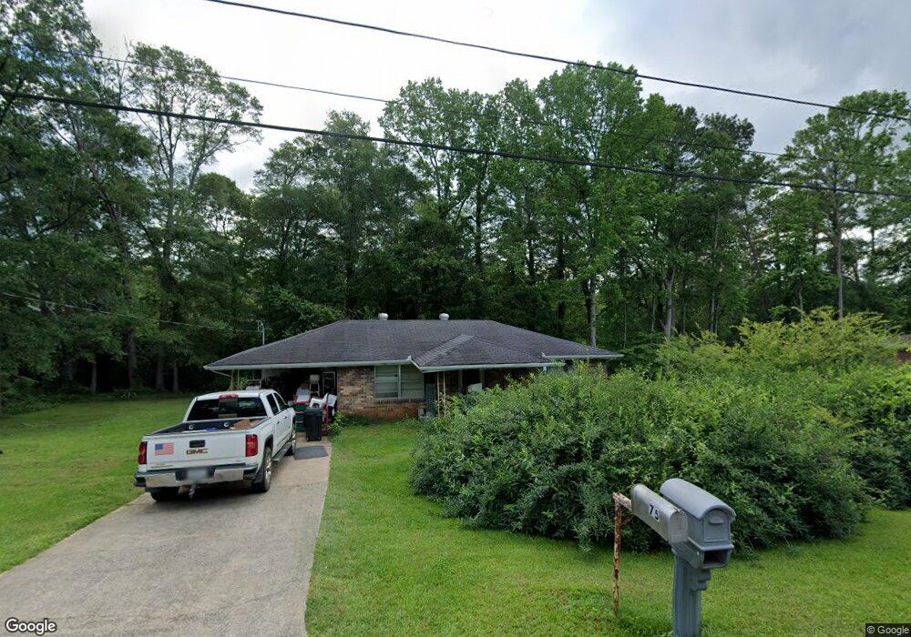
75 Reid Dr Carrollton, GA 30116
Abilene NeighborhoodEstimated Value: $117,000 - $226,000
2
Beds
1
Bath
875
Sq Ft
$186/Sq Ft
Est. Value
About This Home
This home is located at 75 Reid Dr, Carrollton, GA 30116 and is currently estimated at $163,103, approximately $186 per square foot. 75 Reid Dr is a home located in Carroll County with nearby schools including Sharp Creek Elementary School, Central Middle School, and Central High School.
Ownership History
Date
Name
Owned For
Owner Type
Purchase Details
Closed on
Nov 17, 2015
Sold by
Adams Steve R
Bought by
Wga Ventures Llc
Current Estimated Value
Purchase Details
Closed on
Sep 23, 2011
Sold by
Rigsby Garry
Bought by
Leo Joyce B
Purchase Details
Closed on
Dec 8, 2010
Sold by
Rigsby Mrs Earl Estate
Bought by
Rigsby Garry and Yates Gayle
Purchase Details
Closed on
Apr 14, 2004
Sold by
Rigsby Earl M Mrs(Doris) Life Est
Bought by
Rigsby Garry and Yates Gayle
Purchase Details
Closed on
Oct 25, 1994
Bought by
Rigsby Earl M Mrs
Purchase Details
Closed on
Aug 12, 1990
Bought by
Rigsby Mrs Earl
Create a Home Valuation Report for This Property
The Home Valuation Report is an in-depth analysis detailing your home's value as well as a comparison with similar homes in the area
Home Values in the Area
Average Home Value in this Area
Purchase History
| Date | Buyer | Sale Price | Title Company |
|---|---|---|---|
| Wga Ventures Llc | -- | -- | |
| Leo Joyce B | $25,000 | -- | |
| Rigsby Garry | -- | -- | |
| Rigsby Garry | -- | -- | |
| Rigsby Earl M Mrs | -- | -- | |
| Rigsby Mrs Earl | -- | -- |
Source: Public Records
Tax History Compared to Growth
Tax History
| Year | Tax Paid | Tax Assessment Tax Assessment Total Assessment is a certain percentage of the fair market value that is determined by local assessors to be the total taxable value of land and additions on the property. | Land | Improvement |
|---|---|---|---|---|
| 2024 | $733 | $32,418 | $4,000 | $28,418 |
| 2023 | $733 | $29,994 | $4,000 | $25,994 |
| 2022 | $627 | $25,016 | $4,000 | $21,016 |
| 2021 | $516 | $20,130 | $1,934 | $18,196 |
| 2020 | $462 | $17,990 | $1,758 | $16,232 |
| 2019 | $436 | $16,863 | $1,758 | $15,105 |
| 2018 | $406 | $15,466 | $1,643 | $13,823 |
| 2017 | $407 | $15,466 | $1,643 | $13,823 |
| 2016 | $408 | $15,466 | $1,643 | $13,823 |
| 2015 | $402 | $14,367 | $4,000 | $10,368 |
| 2014 | $403 | $14,368 | $4,000 | $10,368 |
Source: Public Records
Map
Nearby Homes
- 70 W Meadowcliff Cir
- 0 Center Point Rd Unit TR 3 10274074
- 0 Center Point Rd Unit 7361099
- 85 Mary Ln
- 70 Henson Cir
- 300 Georgia 113
- 0 Henson Cir Unit 10584639
- 0 Henson Cir Unit 7632920
- 138 Zachary Dr
- 110 Sharp Dr
- 114 Kyle Way
- 281 Northwinds Blvd
- 281 Northwinds Blvd Unit B3
- 281 Northwinds Blvd Unit D3
- 345 Henson Cir
- 1015 Mote Rd
- 101 Deer Park
- 219 Candlewood Dr
- 2930 Highway 113
- 524 Old Bremen Rd
- 65 Reid Dr
- 70 Reid Dr
- 40 Reid Dr
- 65 W Meadowcliff Cir
- 40 Reid Dr
- 0 Reid Dr Unit 7460986
- 0 Reid Dr
- 75 W Meadowcliff Cir
- 55 W Meadowcliff Cir
- 95 W Meadowcliff Cir
- 30 Reid Dr
- 45 W Meadowcliff Cir
- 45 Reid Dr
- 105 W Meadowcliff Cir
- 0 Pleasant Ridge Rd Unit 7233249
- 0 Pleasant Ridge Rd Unit 1 7538606
- 0 Pleasant Ridge Rd
- 0 Pleasant Hill Rd Unit 7503135
- 0 Pleasant Hill Rd Unit 7060531
- 0 Pleasant Hill Unit 7258548