75 Riverside Dr Camden, ME 04843
Estimated Value: $567,000 - $717,000
2
Beds
1
Bath
1,022
Sq Ft
$623/Sq Ft
Est. Value
About This Home
This home is located at 75 Riverside Dr, Camden, ME 04843 and is currently estimated at $637,201, approximately $623 per square foot. 75 Riverside Dr is a home located in Knox County with nearby schools including Camden-Rockport Elementary School, Camden-Rockport Middle School, and Camden Hills Regional High School.
Ownership History
Date
Name
Owned For
Owner Type
Purchase Details
Closed on
Jul 21, 2009
Sold by
Katherine A Barksdale Ret
Bought by
Katherine A Barksdale Ret
Current Estimated Value
Home Financials for this Owner
Home Financials are based on the most recent Mortgage that was taken out on this home.
Original Mortgage
$240,000
Outstanding Balance
$156,639
Interest Rate
5.31%
Mortgage Type
Purchase Money Mortgage
Estimated Equity
$480,562
Purchase Details
Closed on
Oct 2, 2007
Sold by
Barbara A Henderson Ret
Bought by
Katherine A Barksdale Ret
Home Financials for this Owner
Home Financials are based on the most recent Mortgage that was taken out on this home.
Original Mortgage
$255,000
Interest Rate
6.65%
Mortgage Type
Purchase Money Mortgage
Create a Home Valuation Report for This Property
The Home Valuation Report is an in-depth analysis detailing your home's value as well as a comparison with similar homes in the area
Home Values in the Area
Average Home Value in this Area
Purchase History
| Date | Buyer | Sale Price | Title Company |
|---|---|---|---|
| Katherine A Barksdale Ret | -- | -- | |
| Katherine A Barksdale Ret | -- | -- | |
| Katherine A Barksdale Ret | -- | -- |
Source: Public Records
Mortgage History
| Date | Status | Borrower | Loan Amount |
|---|---|---|---|
| Open | Katherine A Barksdale Ret | $240,000 | |
| Closed | Katherine A Barksdale Ret | $240,000 | |
| Previous Owner | Katherine A Barksdale Ret | $255,000 |
Source: Public Records
Tax History Compared to Growth
Tax History
| Year | Tax Paid | Tax Assessment Tax Assessment Total Assessment is a certain percentage of the fair market value that is determined by local assessors to be the total taxable value of land and additions on the property. | Land | Improvement |
|---|---|---|---|---|
| 2024 | $6,177 | $588,300 | $408,600 | $179,700 |
| 2023 | $6,029 | $436,900 | $292,900 | $144,000 |
| 2022 | $5,767 | $436,900 | $292,900 | $144,000 |
| 2021 | $5,815 | $378,800 | $263,700 | $115,100 |
| 2020 | $5,693 | $378,800 | $263,700 | $115,100 |
| 2019 | $5,648 | $378,800 | $263,700 | $115,100 |
| 2018 | $4,558 | $306,300 | $197,800 | $108,500 |
| 2017 | $4,405 | $306,300 | $197,800 | $108,500 |
| 2016 | $3,759 | $241,100 | $150,500 | $90,600 |
| 2015 | $3,648 | $241,100 | $150,500 | $90,600 |
| 2014 | $3,479 | $241,100 | $150,500 | $90,600 |
| 2013 | $3,385 | $241,100 | $150,500 | $90,600 |
Source: Public Records
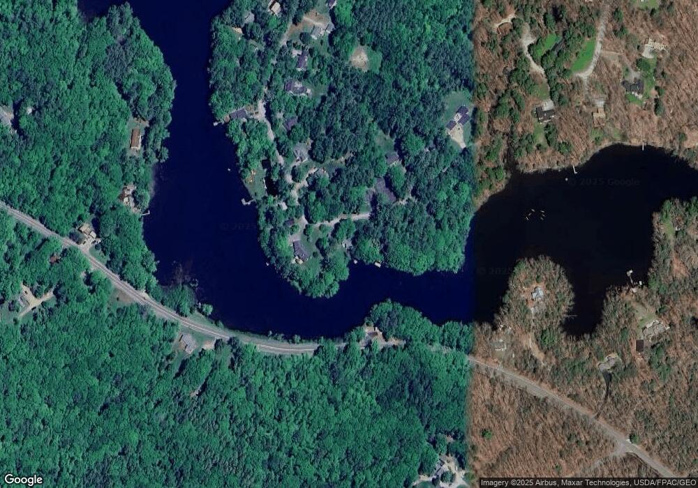
Map
Nearby Homes
- 315 Beaucaire Ave
- 111 Start Rd
- 43 Melvin Heights Rd
- 11 A Mountainside Park
- 161 Beaucaire Ave
- 110 Mountain St
- 424 Molyneaux Rd
- 80 Cobb Rd
- 10 Glenfield Cir
- 1 Branch St
- 2 Bald Mountain Rd
- 159 Mechanic St
- 6 Rd
- 91 Simonton Rd
- 122,6-1 Timbercliffe Dr
- 122,7-1 Timbercliffe Dr
- 00 Mountain Arrow Dr Unit LOT B
- 9 Harden Ave
- 33 Pearl St
- 12 Free St
- 69 Riverside Dr
- 80 Riverside Dr
- 67 Riverside Dr
- 68 Riverside Dr
- 87 Riverside Dr
- 63 Riverside Dr
- 60 Riverside Dr
- 59 Riverside Dr
- 96 Riverside Dr
- 95 Riverside Dr
- 100 Riverside Dr
- 56 Riverside Dr
- 51 Riverside Dr Box 4276
- 396 Washington St
- 101 Riverside Dr
- 46 Riverside Dr
- 51 Riverside Dr
- 345 Washington
- 106 Riverside Dr
- 00 Riverside Dr