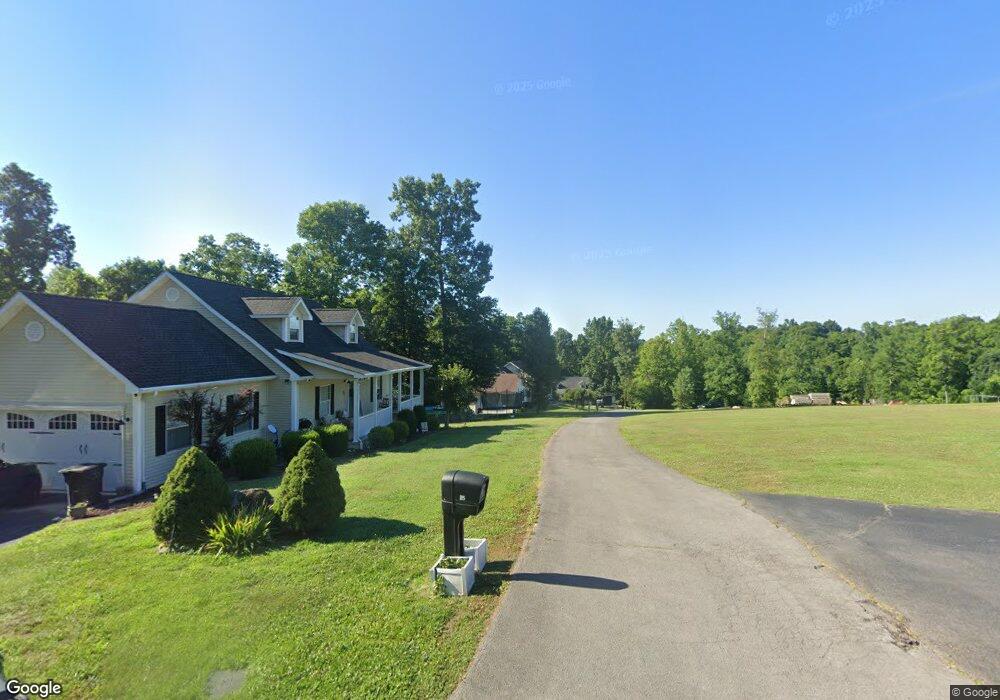
75 Rolling Ln Columbia, KY 42728
Estimated Value: $225,644 - $332,000
3
Beds
2
Baths
1,280
Sq Ft
$207/Sq Ft
Est. Value
About This Home
This home is located at 75 Rolling Ln, Columbia, KY 42728 and is currently estimated at $264,911, approximately $206 per square foot. 75 Rolling Ln is a home located in Adair County with nearby schools including Colonel William Casey Elementary School, Adair County Elementary School, and Adair County Middle School.
Ownership History
Date
Name
Owned For
Owner Type
Purchase Details
Closed on
Aug 29, 2019
Sold by
Ward William Clinton and Ward Pamela J
Bought by
Trible Gregory Lain and Trible Demaris Jane
Current Estimated Value
Purchase Details
Closed on
Jun 18, 2018
Sold by
Conn Stephanie and Conn Joey
Bought by
Ward William Clinton and Ward Pamela J
Home Financials for this Owner
Home Financials are based on the most recent Mortgage that was taken out on this home.
Original Mortgage
$188,875
Interest Rate
4.5%
Mortgage Type
VA
Purchase Details
Closed on
May 3, 2005
Sold by
Atwood Kevin and Atwood Tamart
Bought by
Conn Stephanie and Conn Joey
Home Financials for this Owner
Home Financials are based on the most recent Mortgage that was taken out on this home.
Original Mortgage
$144,000
Interest Rate
5.8%
Mortgage Type
Unknown
Create a Home Valuation Report for This Property
The Home Valuation Report is an in-depth analysis detailing your home's value as well as a comparison with similar homes in the area
Purchase History
| Date | Buyer | Sale Price | Title Company |
|---|---|---|---|
| Trible Gregory Lain | $198,000 | None Available | |
| Ward William Clinton | $184,900 | T E C E Title Services Inc | |
| Conn Stephanie | $144,000 | None Available |
Source: Public Records
Mortgage History
| Date | Status | Borrower | Loan Amount |
|---|---|---|---|
| Previous Owner | Ward William Clinton | $188,875 | |
| Previous Owner | Conn Stephanie | $144,000 |
Source: Public Records
Tax History
| Year | Tax Paid | Tax Assessment Tax Assessment Total Assessment is a certain percentage of the fair market value that is determined by local assessors to be the total taxable value of land and additions on the property. | Land | Improvement |
|---|---|---|---|---|
| 2025 | $2,280 | $198,000 | $8,000 | $190,000 |
| 2024 | $2,233 | $198,000 | $8,000 | $190,000 |
| 2023 | $2,270 | $198,000 | $8,000 | $190,000 |
| 2022 | $2,233 | $198,000 | $8,000 | $190,000 |
| 2021 | $2,272 | $198,000 | $8,000 | $190,000 |
| 2020 | $2,234 | $198,000 | $8,000 | $190,000 |
| 2019 | $1,640 | $198,000 | $8,000 | $190,000 |
| 2018 | $1,637 | $144,000 | $144,000 | $0 |
| 2017 | $1,630 | $144,000 | $144,000 | $0 |
| 2016 | $1,587 | $144,000 | $144,000 | $0 |
| 2015 | $1,339 | $144,000 | $144,000 | $0 |
| 2013 | $1,339 | $144,000 | $144,000 | $0 |
Source: Public Records
Map
Nearby Homes
- 23 acres Cr-1637
- 25 Buck Watson Rd
- 29.06 acres Hutchison Loy Rd
- 0 Kentucky 55
- 23 J Grant Rd
- 831 Rocky Hill Rd
- 140 Louie Ray Rd
- 1006 Greensburg St
- 706 Greensburg St
- 1007 Greensburg St
- 103 Bluegrass Dr
- 210 Merchant St
- 202 Church St
- 431 Wain St
- 5147 Campbellsville Rd
- 116 Heskamp St
- 605 Cedar St
- 603 Jamestown St
- 601 Jamestown St
- 190 Cane Valley Mill Rd
Your Personal Tour Guide
Ask me questions while you tour the home.