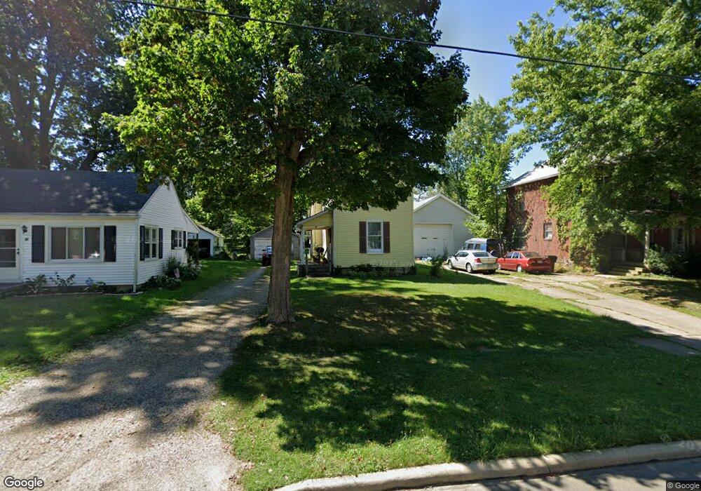
75 Rowland Ave Mansfield, OH 44903
Estimated Value: $64,000 - $103,000
3
Beds
1
Bath
1,296
Sq Ft
$59/Sq Ft
Est. Value
About This Home
This home is located at 75 Rowland Ave, Mansfield, OH 44903 and is currently estimated at $76,856, approximately $59 per square foot. 75 Rowland Ave is a home located in Richland County with nearby schools including The Richland School of Academic Arts.
Ownership History
Date
Name
Owned For
Owner Type
Purchase Details
Closed on
Sep 27, 2021
Sold by
Mabry Joshua and Mabry Orenetta
Bought by
Wenzel George F
Current Estimated Value
Home Financials for this Owner
Home Financials are based on the most recent Mortgage that was taken out on this home.
Original Mortgage
$152,900
Outstanding Balance
$131,975
Interest Rate
2.8%
Mortgage Type
Future Advance Clause Open End Mortgage
Estimated Equity
-$55,119
Purchase Details
Closed on
Nov 17, 2000
Sold by
Remy Rick G
Bought by
Willard Rental Properties
Purchase Details
Closed on
Jun 6, 1994
Sold by
Patton Martha G
Bought by
Remy Rick G and Remy Amy
Purchase Details
Closed on
Oct 4, 1991
Sold by
Patten Richard
Bought by
Patten Martha G Etc
Create a Home Valuation Report for This Property
The Home Valuation Report is an in-depth analysis detailing your home's value as well as a comparison with similar homes in the area
Home Values in the Area
Average Home Value in this Area
Purchase History
| Date | Buyer | Sale Price | Title Company |
|---|---|---|---|
| Wenzel George F | -- | Chicago Title | |
| Willard Rental Properties | $25,000 | -- | |
| Remy Rick G | $10,800 | -- | |
| Patten Martha G Etc | -- | -- |
Source: Public Records
Mortgage History
| Date | Status | Borrower | Loan Amount |
|---|---|---|---|
| Open | Wenzel George F | $152,900 |
Source: Public Records
Tax History Compared to Growth
Tax History
| Year | Tax Paid | Tax Assessment Tax Assessment Total Assessment is a certain percentage of the fair market value that is determined by local assessors to be the total taxable value of land and additions on the property. | Land | Improvement |
|---|---|---|---|---|
| 2024 | $543 | $10,810 | $1,710 | $9,100 |
| 2023 | $518 | $10,810 | $1,710 | $9,100 |
| 2022 | $413 | $7,230 | $1,650 | $5,580 |
| 2021 | $416 | $7,230 | $1,650 | $5,580 |
| 2020 | $425 | $7,230 | $1,650 | $5,580 |
| 2019 | $471 | $7,230 | $1,650 | $5,580 |
| 2018 | $465 | $7,230 | $1,650 | $5,580 |
| 2017 | $362 | $7,230 | $1,650 | $5,580 |
| 2016 | $272 | $4,210 | $2,620 | $1,590 |
| 2015 | $260 | $4,210 | $2,620 | $1,590 |
| 2014 | $552 | $9,070 | $3,490 | $5,580 |
| 2012 | $422 | $9,060 | $3,670 | $5,390 |
Source: Public Records
Map
Nearby Homes
- 80 Rowland Ave
- 96 Helen Ave
- 120 Gettings Place
- 116 Penn Ave
- 406 Sherman Place
- 38 Baldwin Ave
- 24 Stewart Ave S
- 37 Baldwin Ave
- 21 Glenwood Blvd
- 611 Park Ave W
- 76 Bartley Ave
- 132 Sycamore St
- 88 Sherman Ave
- 237 Helen Ave
- 71 Glenwood Blvd
- 41 Parkwood Blvd
- 126 Dawson Ave
- 114 Vennum Ave
- 118 Lind Ave
- 118 Parkwood Blvd