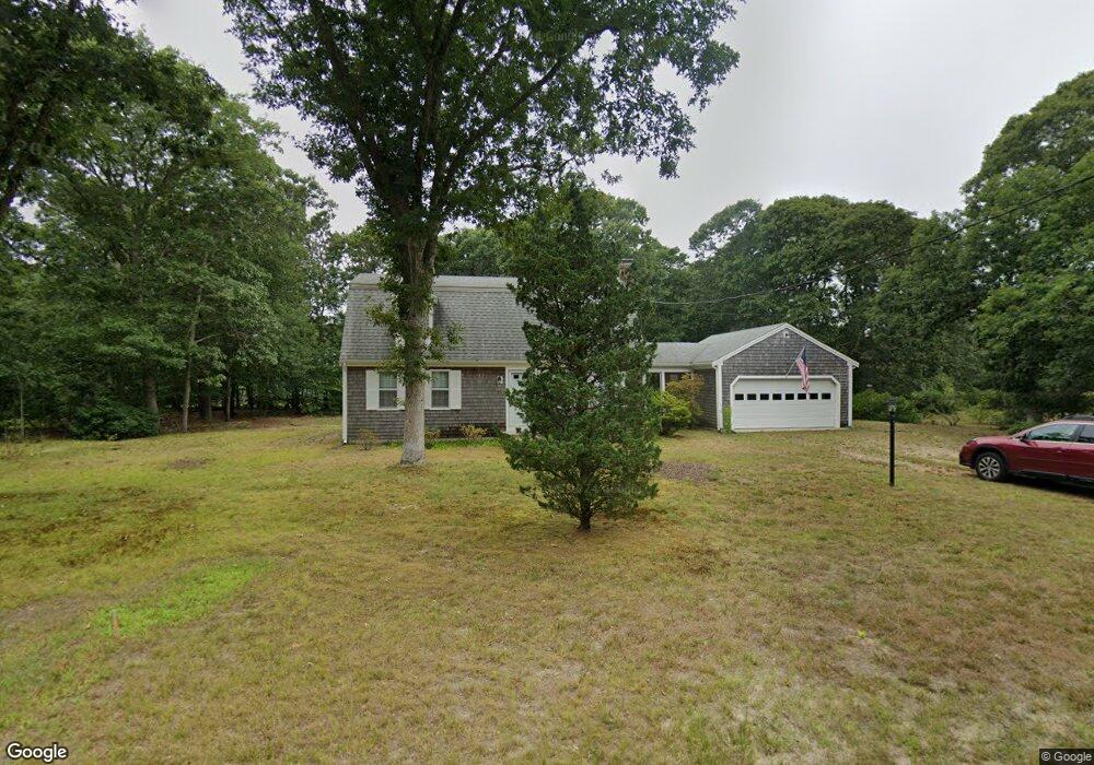
75 Runway Ln Eastham, MA 02642
Estimated Value: $693,000 - $837,000
5
Beds
2
Baths
1,801
Sq Ft
$426/Sq Ft
Est. Value
About This Home
This home is located at 75 Runway Ln, Eastham, MA 02642 and is currently estimated at $766,942, approximately $425 per square foot. 75 Runway Ln is a home located in Barnstable County with nearby schools including Eastham Elementary School, Nauset Regional Middle School, and Nauset Regional High School.
Ownership History
Date
Name
Owned For
Owner Type
Purchase Details
Closed on
Nov 20, 1997
Sold by
Charles Leroy and Charles Barbara
Bought by
Russell David J and Russell Jeanne I
Current Estimated Value
Home Financials for this Owner
Home Financials are based on the most recent Mortgage that was taken out on this home.
Original Mortgage
$132,000
Interest Rate
7.17%
Mortgage Type
Purchase Money Mortgage
Purchase Details
Closed on
Mar 31, 1989
Sold by
Cooper Chester J
Bought by
Charles Md Leroy
Home Financials for this Owner
Home Financials are based on the most recent Mortgage that was taken out on this home.
Original Mortgage
$152,000
Interest Rate
10.63%
Mortgage Type
Purchase Money Mortgage
Create a Home Valuation Report for This Property
The Home Valuation Report is an in-depth analysis detailing your home's value as well as a comparison with similar homes in the area
Home Values in the Area
Average Home Value in this Area
Purchase History
| Date | Buyer | Sale Price | Title Company |
|---|---|---|---|
| Russell David J | $165,000 | -- | |
| Charles Md Leroy | $190,000 | -- |
Source: Public Records
Mortgage History
| Date | Status | Borrower | Loan Amount |
|---|---|---|---|
| Open | Charles Md Leroy | $126,800 | |
| Closed | Charles Md Leroy | $132,000 | |
| Previous Owner | Charles Md Leroy | $123,900 | |
| Previous Owner | Charles Md Leroy | $152,000 |
Source: Public Records
Tax History Compared to Growth
Tax History
| Year | Tax Paid | Tax Assessment Tax Assessment Total Assessment is a certain percentage of the fair market value that is determined by local assessors to be the total taxable value of land and additions on the property. | Land | Improvement |
|---|---|---|---|---|
| 2025 | $5,054 | $655,500 | $306,700 | $348,800 |
| 2024 | $4,458 | $635,900 | $297,700 | $338,200 |
| 2023 | $4,159 | $574,500 | $275,700 | $298,800 |
| 2022 | $3,978 | $463,600 | $246,200 | $217,400 |
| 2021 | $3,892 | $424,000 | $223,700 | $200,300 |
| 2020 | $3,648 | $418,300 | $228,300 | $190,000 |
| 2019 | $3,373 | $408,800 | $221,700 | $187,100 |
| 2018 | $3,336 | $399,500 | $215,300 | $184,200 |
| 2017 | $3,113 | $394,000 | $211,000 | $183,000 |
| 2016 | $2,751 | $369,800 | $183,500 | $186,300 |
| 2015 | $2,534 | $356,900 | $179,900 | $177,000 |
Source: Public Records
Map
Nearby Homes
- 85 Runway Ln
- 65 Runway Ln
- 2750 Herring Brook Rd
- 70 Runway Ln
- 80 Runway Ln
- 2730 Herring Brook Rd
- 95 N Forty Rd
- 85 N Forty Rd
- 60 Runway Ln
- 90 Runway Ln
- 2700 Herring Brook Rd
- 55 Runway Ln
- 10 Guerra Rd
- 10 Guerra Way
- 10 Rolling Ln
- 2795 Herring Brook Rd
- 35 N Forty Rd
- 50 Runway Ln
- 45 N Forty Rd
- 2690 Herring Brook Rd