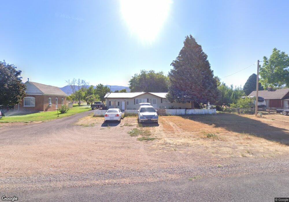
75 S 100 Rd W Kanosh, UT 84637
Estimated Value: $229,000 - $309,429
4
Beds
1
Bath
1,592
Sq Ft
$172/Sq Ft
Est. Value
About This Home
This home is located at 75 S 100 Rd W, Kanosh, UT 84637 and is currently estimated at $273,107, approximately $171 per square foot. 75 S 100 Rd W is a home located in Millard County.
Ownership History
Date
Name
Owned For
Owner Type
Purchase Details
Closed on
Jul 3, 2024
Sold by
Leiofi Sapati
Bought by
Barlow Lee B and Jessop Violet Marie
Current Estimated Value
Home Financials for this Owner
Home Financials are based on the most recent Mortgage that was taken out on this home.
Original Mortgage
$201,058
Outstanding Balance
$198,318
Interest Rate
7.03%
Mortgage Type
FHA
Estimated Equity
$74,789
Purchase Details
Closed on
Apr 14, 2019
Sold by
Leugers Joshua and Leugers Stacia
Bought by
Leiofi Sapati
Purchase Details
Closed on
Mar 30, 2011
Sold by
Blad Blaine L
Bought by
Luegers Joshua and Leugers Stacia
Home Financials for this Owner
Home Financials are based on the most recent Mortgage that was taken out on this home.
Original Mortgage
$86,256
Interest Rate
4.83%
Mortgage Type
FHA
Purchase Details
Closed on
Jun 2, 2006
Sold by
Blad Paul L
Bought by
Blad Carl H
Home Financials for this Owner
Home Financials are based on the most recent Mortgage that was taken out on this home.
Original Mortgage
$70,050
Interest Rate
6.55%
Mortgage Type
Purchase Money Mortgage
Create a Home Valuation Report for This Property
The Home Valuation Report is an in-depth analysis detailing your home's value as well as a comparison with similar homes in the area
Purchase History
| Date | Buyer | Sale Price | Title Company |
|---|---|---|---|
| Barlow Lee B | -- | First American Title Insurance | |
| Leiofi Sapati | -- | -- | |
| Luegers Joshua | -- | -- | |
| Blad Carl H | -- | -- |
Source: Public Records
Mortgage History
| Date | Status | Borrower | Loan Amount |
|---|---|---|---|
| Open | Barlow Lee B | $201,058 | |
| Previous Owner | Luegers Joshua | $86,256 | |
| Previous Owner | Blad Carl H | $70,050 |
Source: Public Records
Tax History
| Year | Tax Paid | Tax Assessment Tax Assessment Total Assessment is a certain percentage of the fair market value that is determined by local assessors to be the total taxable value of land and additions on the property. | Land | Improvement |
|---|---|---|---|---|
| 2025 | $1,050 | $137,501 | $33,727 | $103,774 |
| 2024 | $1,050 | $136,947 | $21,273 | $115,674 |
| 2023 | $1,289 | $136,947 | $21,273 | $115,674 |
| 2022 | $853 | $80,158 | $17,018 | $63,140 |
| 2021 | $824 | $74,664 | $14,798 | $59,866 |
| 2020 | $716 | $65,541 | $13,453 | $52,088 |
| 2019 | $647 | $59,481 | $12,342 | $47,139 |
| 2018 | $619 | $58,359 | $11,220 | $47,139 |
| 2017 | $647 | $58,359 | $11,220 | $47,139 |
| 2016 | $547 | $51,486 | $8,415 | $43,071 |
| 2015 | $548 | $51,486 | $8,415 | $43,071 |
| 2014 | -- | $51,486 | $8,415 | $43,071 |
| 2013 | -- | $51,486 | $8,415 | $43,071 |
Source: Public Records
Map
Nearby Homes
- 115 W 200 S
- 58 E 300 South St
- 135 E 200 N
- 73 E 700 S
- 0 County Road 4616
- Parcel # 8816
- 145 N 200 E
- 80 W 470 N
- 50 N 100 Rd E
- 479 E 100 N
- 1565 W Sunflower Ln Unit 3
- 1615 W Sunflower Ln
- 1615 W Sunflower Ln Unit 4
- 1565 W Sunflower Ln
- 2000 N West Frontage I-15
- 1100 S 725 Rd W
- 310 S 500 West Rd
- 465 S 100 W
- 760 E 700 St S
- 155 E 500 St S
Your Personal Tour Guide
Ask me questions while you tour the home.