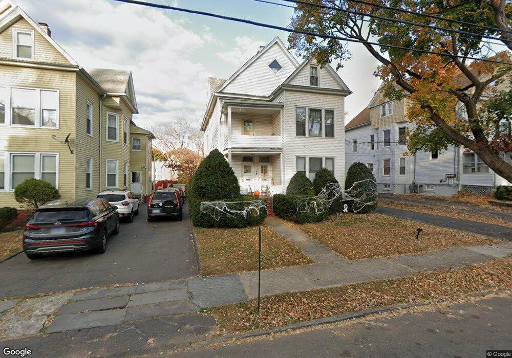
75 S Burritt St New Britain, CT 06052
Estimated Value: $367,000 - $487,000
4
Beds
2
Baths
2,344
Sq Ft
$178/Sq Ft
Est. Value
About This Home
This home is located at 75 S Burritt St, New Britain, CT 06052 and is currently estimated at $416,333, approximately $177 per square foot. 75 S Burritt St is a home located in Hartford County with nearby schools including Lincoln School, Slade Middle School, and Mountain Laurel Sudbury School.
Ownership History
Date
Name
Owned For
Owner Type
Purchase Details
Closed on
Dec 30, 2022
Sold by
Bajwa Maheep
Bought by
Butler Vincent and Butler Breanna
Current Estimated Value
Purchase Details
Closed on
Sep 15, 1997
Sold by
Schweitzer Elaine M
Bought by
Burr David W and Burr Marian D
Home Financials for this Owner
Home Financials are based on the most recent Mortgage that was taken out on this home.
Original Mortgage
$40,000
Interest Rate
7.13%
Mortgage Type
Unknown
Create a Home Valuation Report for This Property
The Home Valuation Report is an in-depth analysis detailing your home's value as well as a comparison with similar homes in the area
Home Values in the Area
Average Home Value in this Area
Purchase History
| Date | Buyer | Sale Price | Title Company |
|---|---|---|---|
| Butler Vincent | $643,975 | None Available | |
| Burr David W | $5,083 | -- | |
| Burr David W | $10,166 | -- | |
| Burr David W | $10,166 | -- | |
| Burr David W | $15,249 | -- | |
| Burr David W | $20,333 | -- | |
| Burr David W | $5,083 | -- |
Source: Public Records
Mortgage History
| Date | Status | Borrower | Loan Amount |
|---|---|---|---|
| Previous Owner | Burr David W | $30,000 | |
| Previous Owner | Burr David W | $40,000 | |
| Previous Owner | Burr David W | $0 |
Source: Public Records
Tax History Compared to Growth
Tax History
| Year | Tax Paid | Tax Assessment Tax Assessment Total Assessment is a certain percentage of the fair market value that is determined by local assessors to be the total taxable value of land and additions on the property. | Land | Improvement |
|---|---|---|---|---|
| 2025 | $7,235 | $184,660 | $62,510 | $122,150 |
| 2024 | $7,311 | $184,660 | $62,510 | $122,150 |
| 2023 | $7,069 | $184,660 | $62,510 | $122,150 |
| 2022 | $5,433 | $109,760 | $28,840 | $80,920 |
| 2021 | $5,433 | $109,760 | $28,840 | $80,920 |
| 2020 | $5,543 | $109,760 | $28,840 | $80,920 |
| 2019 | $5,543 | $109,760 | $28,840 | $80,920 |
| 2018 | $5,543 | $109,760 | $28,840 | $80,920 |
| 2017 | $5,295 | $104,860 | $26,460 | $78,400 |
| 2016 | $5,295 | $104,860 | $26,460 | $78,400 |
| 2015 | $5,138 | $104,860 | $26,460 | $78,400 |
| 2014 | $5,138 | $104,860 | $26,460 | $78,400 |
Source: Public Records
Map
Nearby Homes
- 93 S Burritt St
- 66 Lincoln St
- 139 Lincoln St
- 44 Steele St
- 19 Ridgewood St
- 43 Westerly St
- 38 Westerly St
- 300 Lincoln St
- 300 W Main St
- 423 Monroe St
- 14 Park Place Unit 4
- 367 Lincoln St
- 80 Garry Dr
- 817 W Main St
- 116 Pennsylvania Ave
- 175 W Main St
- 335 Broad St
- 73 Brooklawn St
- 45 Clinton St
- 25 Clinton St
- 81 S Burritt St
- 85 S Burritt St
- 85 S Burritt St Unit 2
- 69 S Burritt St
- 91 S Burritt St
- 61 S Burritt St
- 61 So Burritt St
- 53 S Burritt St
- 72 Black Rock Ave
- 68 Black Rock Ave
- 62 Black Rock Ave
- 88 Black Rock Ave
- 78 Black Rock Ave
- 82 Black Rock Ave
- 56 Black Rock Ave
- 55 S Burritt St
- 98 S Burritt St
- 92 Black Rock Ave
- 52 Black Rock Ave
- 97 S Burritt St