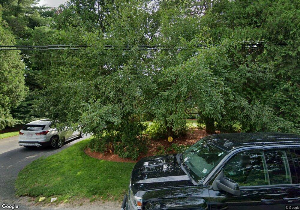
75 Sherburn Cir Weston, MA 02493
Estimated Value: $1,820,000 - $2,131,000
5
Beds
4
Baths
2,300
Sq Ft
$846/Sq Ft
Est. Value
About This Home
This home is located at 75 Sherburn Cir, Weston, MA 02493 and is currently estimated at $1,946,225, approximately $846 per square foot. 75 Sherburn Cir is a home located in Middlesex County with nearby schools including Country Elementary School, Woodland Elementary School, and Weston Middle School.
Ownership History
Date
Name
Owned For
Owner Type
Purchase Details
Closed on
Nov 1, 2004
Sold by
Stachel Daniel W and Barnard Deborah E
Bought by
Stachel Daniel W
Current Estimated Value
Purchase Details
Closed on
Dec 19, 2000
Sold by
Macaronis Nicholas
Bought by
Stachel Daniel W and Barnard Deborah E
Purchase Details
Closed on
Jan 25, 1991
Sold by
Adrean Lee and Adrean Yolanda
Bought by
Wachta James A and Macaronis Melanie
Create a Home Valuation Report for This Property
The Home Valuation Report is an in-depth analysis detailing your home's value as well as a comparison with similar homes in the area
Home Values in the Area
Average Home Value in this Area
Purchase History
| Date | Buyer | Sale Price | Title Company |
|---|---|---|---|
| Stachel Daniel W | -- | -- | |
| Stachel Daniel W | $780,000 | -- | |
| Wachta James A | $422,000 | -- |
Source: Public Records
Mortgage History
| Date | Status | Borrower | Loan Amount |
|---|---|---|---|
| Open | Wachta James A | $413,000 | |
| Closed | Wachta James A | $430,000 | |
| Closed | Wachta James A | $465,750 |
Source: Public Records
Tax History Compared to Growth
Tax History
| Year | Tax Paid | Tax Assessment Tax Assessment Total Assessment is a certain percentage of the fair market value that is determined by local assessors to be the total taxable value of land and additions on the property. | Land | Improvement |
|---|---|---|---|---|
| 2025 | $15,963 | $1,438,100 | $824,900 | $613,200 |
| 2024 | $15,332 | $1,378,800 | $824,900 | $553,900 |
| 2023 | $14,931 | $1,261,100 | $824,900 | $436,200 |
| 2022 | $13,891 | $1,084,400 | $773,700 | $310,700 |
| 2021 | $30 | $1,032,800 | $736,900 | $295,900 |
| 2020 | $12,960 | $1,010,100 | $736,900 | $273,200 |
| 2019 | $11,989 | $952,300 | $682,500 | $269,800 |
| 2018 | $6,745 | $952,300 | $682,500 | $269,800 |
| 2017 | $4,044 | $952,300 | $682,500 | $269,800 |
| 2016 | $11,580 | $952,300 | $682,500 | $269,800 |
| 2015 | $11,202 | $912,200 | $650,100 | $262,100 |
Source: Public Records
Map
Nearby Homes