75 Spithead Rd Waterford, CT 06385
Estimated Value: $485,000 - $547,000
3
Beds
3
Baths
1,931
Sq Ft
$262/Sq Ft
Est. Value
About This Home
This home is located at 75 Spithead Rd, Waterford, CT 06385 and is currently estimated at $506,230, approximately $262 per square foot. 75 Spithead Rd is a home located in New London County with nearby schools including Clark Lane Middle School, Waterford High School, and New London High School Multi-Magnet Campus.
Ownership History
Date
Name
Owned For
Owner Type
Purchase Details
Closed on
Apr 22, 1985
Bought by
Clark Stewart C and Clark Mary Ann
Current Estimated Value
Create a Home Valuation Report for This Property
The Home Valuation Report is an in-depth analysis detailing your home's value as well as a comparison with similar homes in the area
Home Values in the Area
Average Home Value in this Area
Purchase History
| Date | Buyer | Sale Price | Title Company |
|---|---|---|---|
| Clark Stewart C | -- | -- |
Source: Public Records
Mortgage History
| Date | Status | Borrower | Loan Amount |
|---|---|---|---|
| Open | Clark Stewart C | $555,000 | |
| Closed | Clark Stewart C | $54,000 | |
| Closed | Clark Stewart C | $85,000 | |
| Closed | Clark Stewart C | $100,000 |
Source: Public Records
Tax History
| Year | Tax Paid | Tax Assessment Tax Assessment Total Assessment is a certain percentage of the fair market value that is determined by local assessors to be the total taxable value of land and additions on the property. | Land | Improvement |
|---|---|---|---|---|
| 2025 | $6,503 | $278,370 | $98,990 | $179,380 |
| 2024 | $6,208 | $278,370 | $98,990 | $179,380 |
| 2023 | $5,901 | $278,370 | $98,990 | $179,380 |
| 2022 | $5,729 | $207,890 | $68,190 | $139,700 |
| 2021 | $5,746 | $207,890 | $68,190 | $139,700 |
| 2020 | $5,794 | $207,890 | $68,190 | $139,700 |
| 2019 | $5,817 | $207,890 | $68,190 | $139,700 |
| 2018 | $5,700 | $207,890 | $68,190 | $139,700 |
| 2017 | $5,429 | $200,850 | $70,220 | $130,630 |
| 2016 | $5,379 | $200,850 | $70,220 | $130,630 |
| 2015 | $5,188 | $200,850 | $70,220 | $130,630 |
| 2014 | $5,188 | $200,850 | $70,220 | $130,630 |
Source: Public Records
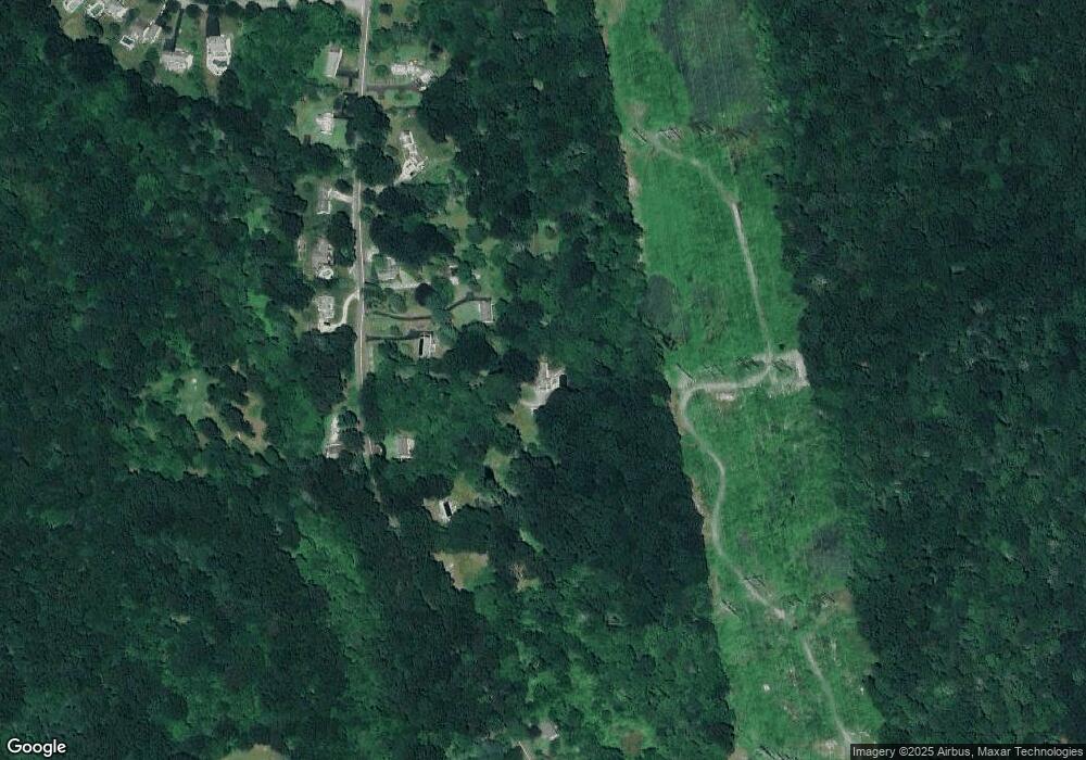
Map
Nearby Homes
- 310 Boston Post Rd Unit 76
- 3 E Wood St
- 9 Arrowhead Trail
- 6 Fulmore Dr
- 398 & 402 Boston Post Rd
- 398 Boston Post Rd
- 3 Springdale Rd
- 22 Woodlawn Ave
- 20 North Rd
- 276 Niantic River Rd
- 36 Sandy Hollow Dr
- 52B Millstone Rd W
- 49 Cross Rd
- 213 Boston Post Rd
- 54 Rope Ferry Rd Unit C55
- 54 Rope Ferry Rd Unit I154
- 54 Rope Ferry Rd Unit C45
- 54 Rope Ferry Rd Unit C42
- 54 Rope Ferry Rd Unit I151
- 22 Sandy Hollow Dr
Your Personal Tour Guide
Ask me questions while you tour the home.