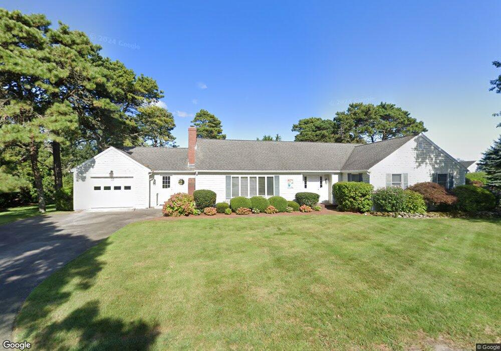
75 Strandway West Harwich, MA 2671
Northwest Harwich NeighborhoodEstimated Value: $1,440,000 - $2,681,000
3
Beds
3
Baths
2,200
Sq Ft
$1,003/Sq Ft
Est. Value
About This Home
This home is located at 75 Strandway, West Harwich, MA 2671 and is currently estimated at $2,206,497, approximately $1,002 per square foot. 75 Strandway is a home located in Barnstable County with nearby schools including Harwich Elementary School, Chatham Elementary School, and Monomoy Regional Middle School.
Ownership History
Date
Name
Owned For
Owner Type
Purchase Details
Closed on
Dec 14, 2025
Sold by
Czarnecki Joseph J and Czarnecki Wendy G
Bought by
Czarnecki Ft and Czarnecki
Current Estimated Value
Purchase Details
Closed on
Jun 18, 2008
Sold by
Wellness Rt and Carbone
Bought by
Czarnecki Joseph J and Czarnecki Wendy G
Home Financials for this Owner
Home Financials are based on the most recent Mortgage that was taken out on this home.
Original Mortgage
$840,000
Interest Rate
6.1%
Mortgage Type
Purchase Money Mortgage
Purchase Details
Closed on
Dec 15, 2003
Sold by
Frankovic Rudolf L and Frankovic Philip
Bought by
Wellness Rt and Carbone
Home Financials for this Owner
Home Financials are based on the most recent Mortgage that was taken out on this home.
Original Mortgage
$2,350,000
Interest Rate
5.9%
Mortgage Type
Purchase Money Mortgage
Create a Home Valuation Report for This Property
The Home Valuation Report is an in-depth analysis detailing your home's value as well as a comparison with similar homes in the area
Home Values in the Area
Average Home Value in this Area
Purchase History
| Date | Buyer | Sale Price | Title Company |
|---|---|---|---|
| Czarnecki Ft | -- | -- | |
| Czarnecki Joseph J | $1,050,000 | -- | |
| Wellness Rt | $800,000 | -- |
Source: Public Records
Mortgage History
| Date | Status | Borrower | Loan Amount |
|---|---|---|---|
| Previous Owner | Czarnecki Joseph J | $840,000 | |
| Previous Owner | Wellness Rt | $2,350,000 |
Source: Public Records
Tax History
| Year | Tax Paid | Tax Assessment Tax Assessment Total Assessment is a certain percentage of the fair market value that is determined by local assessors to be the total taxable value of land and additions on the property. | Land | Improvement |
|---|---|---|---|---|
| 2025 | $10,466 | $1,770,900 | $698,800 | $1,072,100 |
| 2024 | $9,737 | $1,614,700 | $659,200 | $955,500 |
| 2023 | $9,426 | $1,419,600 | $599,300 | $820,300 |
| 2022 | $9,284 | $1,144,700 | $521,200 | $623,500 |
| 2021 | $9,110 | $1,059,300 | $473,800 | $585,500 |
| 2020 | $9,036 | $1,035,100 | $466,500 | $568,600 |
| 2019 | $8,537 | $984,700 | $448,300 | $536,400 |
| 2018 | $8,578 | $946,400 | $407,500 | $538,900 |
| 2017 | $7,909 | $881,700 | $371,400 | $510,300 |
| 2016 | $7,744 | $853,800 | $371,400 | $482,400 |
| 2015 | $7,513 | $837,600 | $364,000 | $473,600 |
| 2014 | $7,176 | $818,200 | $353,200 | $465,000 |
Source: Public Records
Map
Nearby Homes
- 19 Riverway
- 19 Riverway
- 13 Osborne Rd
- 28 Shore Rd
- 72 Pleasant Rd
- 1 Belmont Rd Unit 22
- 1 Belmont Rd Unit 630
- 1 Belmont Rd Unit 541
- 1 Belmont Rd Unit 542
- 1 Belmont Rd Unit 513
- 161 Massachusetts 28 Unit 7
- 1 E Belmont Unit 513
- 1 E Belmont Unit 630
- 1 E Belmont Unit 22
- 1 E Belmont Unit 541
- 126 Massachusetts 28
- 28 Patricia Ln
- 231 Route 28 Unit 8
- 9 Mansion St
- 7 Dunes Rd
Your Personal Tour Guide
Ask me questions while you tour the home.