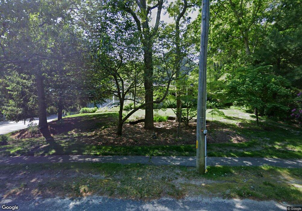
75 Summer St Yarmouth Port, MA 02675
Yarmouth Port NeighborhoodEstimated Value: $1,575,000 - $2,168,000
5
Beds
6
Baths
3,695
Sq Ft
$523/Sq Ft
Est. Value
About This Home
This home is located at 75 Summer St, Yarmouth Port, MA 02675 and is currently estimated at $1,930,657, approximately $522 per square foot. 75 Summer St is a home located in Barnstable County with nearby schools including Dennis-Yarmouth Regional High School, Trinity Christian Academy of Cape Cod, and Kiddie Kollege Early Learning Center.
Ownership History
Date
Name
Owned For
Owner Type
Purchase Details
Closed on
Dec 19, 2008
Sold by
Tufts Henry P
Bought by
Tufts Henry P and Tufts Una J
Current Estimated Value
Purchase Details
Closed on
Jun 19, 2008
Sold by
Tufts Henry P
Bought by
Sandy Side Corp
Purchase Details
Closed on
Jun 13, 2007
Sold by
Troutman Martha L and Troutman Peter D
Bought by
Tufts Henry P
Home Financials for this Owner
Home Financials are based on the most recent Mortgage that was taken out on this home.
Original Mortgage
$300,000
Interest Rate
6.19%
Mortgage Type
Purchase Money Mortgage
Purchase Details
Closed on
May 10, 1999
Sold by
Tufts Cynthia D
Bought by
Troutman Peter G and Troutman Martha L
Home Financials for this Owner
Home Financials are based on the most recent Mortgage that was taken out on this home.
Original Mortgage
$75,000
Interest Rate
6.92%
Mortgage Type
Purchase Money Mortgage
Purchase Details
Closed on
Apr 10, 1999
Sold by
Sandy Side Corp
Bought by
Troutman Peter D and Troutman Martha L
Home Financials for this Owner
Home Financials are based on the most recent Mortgage that was taken out on this home.
Original Mortgage
$75,000
Interest Rate
6.92%
Mortgage Type
Purchase Money Mortgage
Create a Home Valuation Report for This Property
The Home Valuation Report is an in-depth analysis detailing your home's value as well as a comparison with similar homes in the area
Home Values in the Area
Average Home Value in this Area
Purchase History
| Date | Buyer | Sale Price | Title Company |
|---|---|---|---|
| Tufts Henry P | -- | -- | |
| Sandy Side Corp | -- | -- | |
| Tufts Henry P | $1,030,000 | -- | |
| Troutman Peter G | $100,000 | -- | |
| Troutman Peter D | $10,000 | -- |
Source: Public Records
Mortgage History
| Date | Status | Borrower | Loan Amount |
|---|---|---|---|
| Previous Owner | Tufts Henry P | $300,000 | |
| Previous Owner | Troutman Peter D | $405,000 | |
| Previous Owner | Troutman Peter D | $400,000 | |
| Previous Owner | Troutman Peter D | $400,000 | |
| Previous Owner | Troutman Peter D | $75,000 |
Source: Public Records
Tax History Compared to Growth
Tax History
| Year | Tax Paid | Tax Assessment Tax Assessment Total Assessment is a certain percentage of the fair market value that is determined by local assessors to be the total taxable value of land and additions on the property. | Land | Improvement |
|---|---|---|---|---|
| 2025 | $12,929 | $1,826,200 | $331,700 | $1,494,500 |
| 2024 | $12,245 | $1,659,200 | $288,400 | $1,370,800 |
| 2023 | $12,126 | $1,495,200 | $243,100 | $1,252,100 |
| 2022 | $10,044 | $1,094,100 | $218,300 | $875,800 |
| 2021 | $8,854 | $926,200 | $205,100 | $721,100 |
| 2020 | $8,599 | $859,900 | $196,100 | $663,800 |
| 2019 | $8,141 | $806,000 | $196,100 | $609,900 |
| 2018 | $8,193 | $796,200 | $186,300 | $609,900 |
| 2017 | $7,978 | $796,200 | $186,300 | $609,900 |
| 2016 | $7,946 | $796,200 | $186,300 | $609,900 |
| 2015 | $8,858 | $882,300 | $186,300 | $696,000 |
Source: Public Records
Map
Nearby Homes
- 162 Route 6a
- 186 Route 6a
- 116 Route 6a
- 116 Main St
- 112 Main St
- 105 Old Hyannis Rd
- 40 Thacher Shore Rd
- 56 Wharf Ln
- 4390 Main St
- 81 Desert Sands Ln
- 99 Old Hyannis Rd
- 170 Pine St
- 86 Doral Dr
- 4323 Main St
- 111 Old Hyannis Rd
- 67 Spy Glass Hill Rd
- 100 Spyglass Hill Rd
- 83 Sisters Cir
- 83 Sisters Cir
- 404 Route 6a