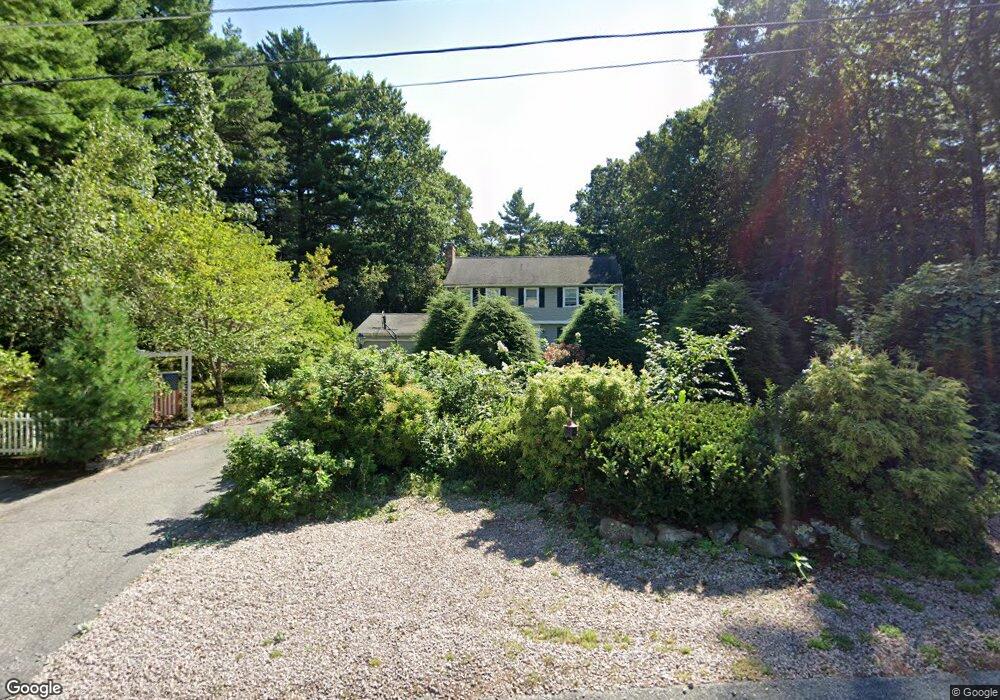
75 Sumner Perry Dr Wrentham, MA 02093
Estimated Value: $678,892 - $906,000
3
Beds
3
Baths
2,062
Sq Ft
$366/Sq Ft
Est. Value
About This Home
This home is located at 75 Sumner Perry Dr, Wrentham, MA 02093 and is currently estimated at $753,723, approximately $365 per square foot. 75 Sumner Perry Dr is a home located in Norfolk County with nearby schools including Delaney Elementary School and Charles E Roderick.
Ownership History
Date
Name
Owned For
Owner Type
Purchase Details
Closed on
Aug 13, 1993
Sold by
Careo James M and Carceo Cathleen M
Bought by
Ward Christopher J and Ward Mary E
Current Estimated Value
Home Financials for this Owner
Home Financials are based on the most recent Mortgage that was taken out on this home.
Original Mortgage
$110,000
Interest Rate
7.16%
Mortgage Type
Purchase Money Mortgage
Create a Home Valuation Report for This Property
The Home Valuation Report is an in-depth analysis detailing your home's value as well as a comparison with similar homes in the area
Purchase History
| Date | Buyer | Sale Price | Title Company |
|---|---|---|---|
| Ward Christopher J | $195,000 | -- |
Source: Public Records
Mortgage History
| Date | Status | Borrower | Loan Amount |
|---|---|---|---|
| Closed | Ward Christopher J | $110,000 | |
| Previous Owner | Ward Christopher J | $109,000 |
Source: Public Records
Tax History
| Year | Tax Paid | Tax Assessment Tax Assessment Total Assessment is a certain percentage of the fair market value that is determined by local assessors to be the total taxable value of land and additions on the property. | Land | Improvement |
|---|---|---|---|---|
| 2025 | $6,735 | $581,100 | $261,500 | $319,600 |
| 2024 | $6,478 | $539,800 | $261,500 | $278,300 |
| 2023 | $6,218 | $492,700 | $237,800 | $254,900 |
| 2022 | $5,871 | $429,500 | $214,200 | $215,300 |
| 2021 | $5,482 | $389,600 | $191,300 | $198,300 |
| 2020 | $5,550 | $389,500 | $174,600 | $214,900 |
| 2019 | $5,587 | $395,700 | $190,500 | $205,200 |
| 2018 | $5,555 | $390,100 | $174,700 | $215,400 |
| 2017 | $5,429 | $381,000 | $171,400 | $209,600 |
| 2016 | $5,348 | $374,500 | $166,400 | $208,100 |
| 2015 | $5,244 | $350,100 | $160,000 | $190,100 |
| 2014 | $5,159 | $337,000 | $153,900 | $183,100 |
Source: Public Records
Map
Nearby Homes
- 3 Earle Stewart Ln
- 2 Earle Stewart Ln
- 135 Creek St Unit 2
- 12 Earle Stewart Ln
- 10 Earle Stewart Ln Unit Lot 5
- 10 Nature View Dr
- 15 Nature View Dr
- 500 Franklin St
- 282 Thurston St
- 483 Thurston St
- 576 Dedham St
- 50 Reed Fulton Ave Unit Lot 61
- 246 Forest Grove Ave
- 1 Weber Farm Rd Unit 1
- 11 Weber Farm Rd Unit 11
- 8 Weber Farm Rd Unit 8
- 45 Joshua Rd
- 1222 South St
- 30 Weber Farm Rd Unit 30
- 23 Horseshoe Dr
- 65 Sumner Perry Dr
- 85 Sumner Perry Dr
- 95 Sumner Perry Dr
- 55 Sumner Perry Dr
- 70 Sumner Perry Dr
- 80 Sumner Perry Dr
- 60 Sumner Perry Dr
- 45 Sumner Perry Dr
- 50 Sumner Perry Dr
- 90 Sumner Perry Dr
- 35 Sumner Perry Dr
- 105 Sumner Perry Dr
- 281 South St
- 279 South St
- 291 South St
- 291A South St
- 267 South St
- 277 South St
- 261 South St
- 255 South St
Your Personal Tour Guide
Ask me questions while you tour the home.