75 Trails End Ridge Ellijay, GA 30540
Estimated Value: $619,954 - $768,000
--
Bed
3
Baths
2,520
Sq Ft
$277/Sq Ft
Est. Value
About This Home
This home is located at 75 Trails End Ridge, Ellijay, GA 30540 and is currently estimated at $698,989, approximately $277 per square foot. 75 Trails End Ridge is a home located in Gilmer County with nearby schools including Ellijay Elementary School, Clear Creek Elementary School, and Clear Creek Middle School.
Ownership History
Date
Name
Owned For
Owner Type
Purchase Details
Closed on
Mar 17, 2020
Sold by
Bennett Danieth
Bought by
Cushman Danieth E and Cushman Walter D
Current Estimated Value
Purchase Details
Closed on
May 28, 2009
Sold by
Bennett Kenneth S
Bought by
Bennett Danieth
Purchase Details
Closed on
May 26, 2006
Sold by
Lawrence Construction Co I
Bought by
Bennett Danieth and Bennett Kenneth S
Purchase Details
Closed on
Jul 6, 2005
Sold by
Wachovia Bank
Bought by
Mastercraft Properties
Purchase Details
Closed on
Jun 15, 2005
Sold by
Mastercraft Properties Inc
Bought by
Lawrence Construction Co Inc
Create a Home Valuation Report for This Property
The Home Valuation Report is an in-depth analysis detailing your home's value as well as a comparison with similar homes in the area
Home Values in the Area
Average Home Value in this Area
Purchase History
| Date | Buyer | Sale Price | Title Company |
|---|---|---|---|
| Cushman Danieth E | -- | -- | |
| Bennett Danieth | -- | -- | |
| Bennett Danieth | $292,000 | -- | |
| Mastercraft Properties | -- | -- | |
| Lawrence Construction Co Inc | $55,707 | -- |
Source: Public Records
Tax History Compared to Growth
Tax History
| Year | Tax Paid | Tax Assessment Tax Assessment Total Assessment is a certain percentage of the fair market value that is determined by local assessors to be the total taxable value of land and additions on the property. | Land | Improvement |
|---|---|---|---|---|
| 2025 | $688 | $248,600 | $28,000 | $220,600 |
| 2024 | $688 | $247,640 | $28,000 | $219,640 |
| 2023 | $707 | $198,960 | $28,000 | $170,960 |
| 2022 | $736 | $177,680 | $24,000 | $153,680 |
| 2021 | $818 | $161,160 | $24,000 | $137,160 |
| 2020 | $2,857 | $141,040 | $24,000 | $117,040 |
| 2019 | $2,620 | $115,680 | $16,000 | $99,680 |
| 2018 | $2,654 | $115,680 | $16,000 | $99,680 |
| 2017 | $2,862 | $116,320 | $16,000 | $100,320 |
| 2016 | $2,602 | $103,640 | $16,000 | $87,640 |
| 2015 | $1,989 | $80,680 | $16,000 | $64,680 |
| 2014 | $2,058 | $80,320 | $16,000 | $64,320 |
| 2013 | -- | $78,360 | $16,000 | $62,360 |
Source: Public Records
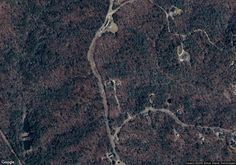
Map
Nearby Homes
- 293 Scott Hollow Rd
- 289 Scott Hollow Rd
- 0 Trails End Summit Unit 10488729
- 0 Trails End Summit Unit 414328
- 0 Trails End Summit Unit 7549011
- 3185 Old Flat Branch Rd
- 365 Trails End Summit
- 3691 Flagpole Rd
- 685 Chopped Oak Rd Unit 168
- 685 Chopped Oak Rd
- 101 Harper Valley Rd
- Lt 739 Hiawassee Ct
- 415 Chatawa Ct
- 426 Shenendoa Dr
- 88 Dale Valley Cir
- 298 Etowah Dr
- LOT 153 Etowah Dr
- 56 Hunterhill Way
- Lt699 Choctaw Dr
- 114 Hunterhill Way
- 1832 Flagpole Rd
- 137 Trails End Ridge
- 220 Flagpole Rd Unit 2
- Tr 1 Flagpole Rd
- Tract 1 Flagpole Rd
- L20 Flagpole Rd
- LOT 1 Flagpole Rd
- LT 5 Flagpole Rd
- 83 Oconee Ct
- 167 Trails End Ridge
- 1688 Flagpole Rd
- 120 Trails End Ridge
- 6 AC Loy St
- 2.5AC Loy St
- 297 Flagpole Rd
- 320 Loy St
- 2010 Flagpole Rd
- 18 Trails End Ridge
- 10 Trails End Ridge
- 10 Trails End Ridge