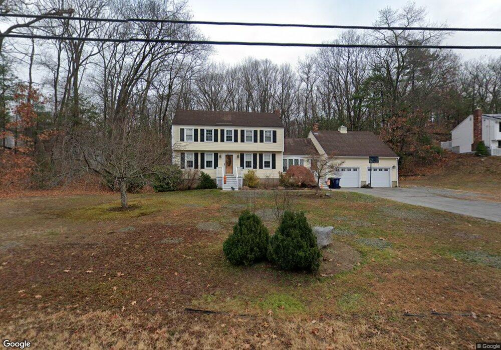
75 Trout Brook Rd Dracut, MA 01826
Estimated Value: $685,820 - $750,000
3
Beds
2
Baths
1,922
Sq Ft
$377/Sq Ft
Est. Value
About This Home
This home is located at 75 Trout Brook Rd, Dracut, MA 01826 and is currently estimated at $723,955, approximately $376 per square foot. 75 Trout Brook Rd is a home located in Middlesex County with nearby schools including Joseph A. Campbell Elementary School, Richardson Middle School, and Dracut Senior High School.
Ownership History
Date
Name
Owned For
Owner Type
Purchase Details
Closed on
Jul 1, 2005
Sold by
Cormier Francis L and Cormier Laurie B
Bought by
Falsey Donna A and Falsey Richard H
Current Estimated Value
Home Financials for this Owner
Home Financials are based on the most recent Mortgage that was taken out on this home.
Original Mortgage
$359,350
Outstanding Balance
$188,433
Interest Rate
5.73%
Mortgage Type
Purchase Money Mortgage
Estimated Equity
$535,522
Purchase Details
Closed on
Aug 30, 1996
Sold by
Perrin Richard P and Perrin Aline
Bought by
Cormier Laurie and Cormier Francis
Home Financials for this Owner
Home Financials are based on the most recent Mortgage that was taken out on this home.
Original Mortgage
$178,500
Interest Rate
8.18%
Mortgage Type
Purchase Money Mortgage
Create a Home Valuation Report for This Property
The Home Valuation Report is an in-depth analysis detailing your home's value as well as a comparison with similar homes in the area
Home Values in the Area
Average Home Value in this Area
Purchase History
| Date | Buyer | Sale Price | Title Company |
|---|---|---|---|
| Falsey Donna A | $425,900 | -- | |
| Cormier Laurie | $187,900 | -- |
Source: Public Records
Mortgage History
| Date | Status | Borrower | Loan Amount |
|---|---|---|---|
| Open | Falsey Donna A | $359,350 | |
| Previous Owner | Cormier Laurie | $205,000 | |
| Previous Owner | Cormier Laurie | $205,000 | |
| Previous Owner | Cormier Laurie | $178,000 | |
| Previous Owner | Cormier Laurie | $178,500 |
Source: Public Records
Tax History Compared to Growth
Tax History
| Year | Tax Paid | Tax Assessment Tax Assessment Total Assessment is a certain percentage of the fair market value that is determined by local assessors to be the total taxable value of land and additions on the property. | Land | Improvement |
|---|---|---|---|---|
| 2025 | $6,212 | $613,800 | $255,000 | $358,800 |
| 2024 | $6,057 | $579,600 | $243,000 | $336,600 |
| 2023 | $5,864 | $506,400 | $211,500 | $294,900 |
| 2022 | $5,710 | $464,600 | $192,300 | $272,300 |
| 2021 | $5,505 | $423,100 | $174,600 | $248,500 |
| 2020 | $5,335 | $399,600 | $169,400 | $230,200 |
| 2019 | $5,255 | $382,200 | $161,200 | $221,000 |
| 2018 | $5,269 | $372,600 | $161,200 | $211,400 |
| 2017 | $5,235 | $372,600 | $161,200 | $211,400 |
| 2016 | $5,198 | $350,300 | $162,100 | $188,200 |
| 2015 | $5,028 | $336,800 | $162,100 | $174,700 |
| 2014 | $4,802 | $331,400 | $162,100 | $169,300 |
Source: Public Records
Map
Nearby Homes
- 315 Broadway Rd Unit 7
- 820 Methuen St Unit 820
- 931 Methuen St Unit 6
- 785 Broadway Rd
- 7 Wildwood St Unit A24
- 4 Hazelwood Ave Unit 12
- 35 Thissell Ave
- 675 Robbins Ave Unit 1
- 650 Robbins Ave Unit 33
- 700 Robbins Ave Unit 6
- 173 Brook St
- 12 Hayfield Rd
- 109 Meadow Creek Dr
- 11 View St
- 31 Varnum Ave
- 51 Bellevue Ave
- 121 Old Marsh Hill Rd
- 575 Beacon St
- 14 Mount Pleasant Ave
- 167 Betty Ann Ln
- 65 Trout Brook Rd
- 11 Heather Rd
- 21 Heather Rd
- 74 Trout Brook Rd
- 84 Trout Brook Rd
- 64 Trout Brook Rd
- 41 Chestnut Rd
- 94 Trout Brook Rd
- 31 Heather Rd
- 20 Heather Rd
- 54 Trout Brook Rd
- 31 Chestnut Rd
- 105 Trout Brook Rd
- 30 Heather Rd
- 44 Trout Brook Rd
- 41 Heather Rd
- 21 Chestnut Rd
- 104 Trout Brook Rd
- 44 Chestnut Rd
- 40 Heather Rd