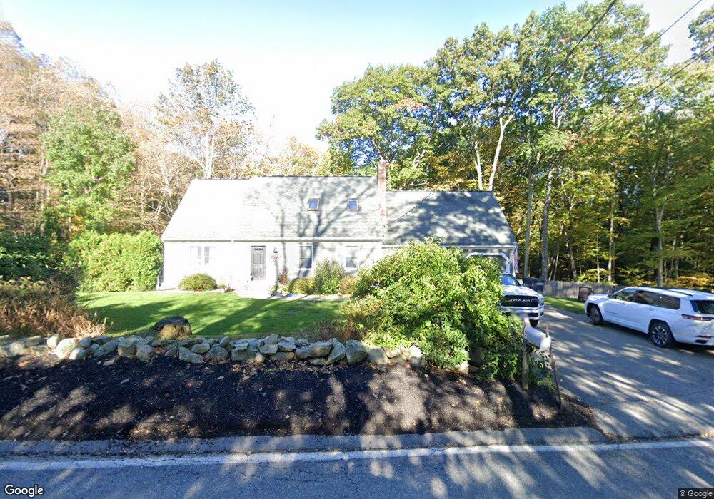
75 Union St Holden, MA 01520
Estimated Value: $651,000 - $702,000
3
Beds
4
Baths
2,093
Sq Ft
$323/Sq Ft
Est. Value
About This Home
This home is located at 75 Union St, Holden, MA 01520 and is currently estimated at $676,259, approximately $323 per square foot. 75 Union St is a home located in Worcester County with nearby schools including Wachusett Regional High School and Holden Christian Academy.
Ownership History
Date
Name
Owned For
Owner Type
Purchase Details
Closed on
Jul 28, 2010
Sold by
Wilde Susan Z
Bought by
Platts Ryan and Platts Brenda
Current Estimated Value
Home Financials for this Owner
Home Financials are based on the most recent Mortgage that was taken out on this home.
Original Mortgage
$200,000
Outstanding Balance
$133,815
Interest Rate
4.78%
Mortgage Type
Purchase Money Mortgage
Estimated Equity
$542,444
Purchase Details
Closed on
Jan 4, 1995
Sold by
Wilde Matthew
Bought by
Wilde Susan
Create a Home Valuation Report for This Property
The Home Valuation Report is an in-depth analysis detailing your home's value as well as a comparison with similar homes in the area
Home Values in the Area
Average Home Value in this Area
Purchase History
| Date | Buyer | Sale Price | Title Company |
|---|---|---|---|
| Platts Ryan | $320,000 | -- | |
| Wilde Susan | $25,000 | -- |
Source: Public Records
Mortgage History
| Date | Status | Borrower | Loan Amount |
|---|---|---|---|
| Open | Platts Ryan | $200,000 | |
| Previous Owner | Wilde Susan | $80,000 |
Source: Public Records
Tax History Compared to Growth
Tax History
| Year | Tax Paid | Tax Assessment Tax Assessment Total Assessment is a certain percentage of the fair market value that is determined by local assessors to be the total taxable value of land and additions on the property. | Land | Improvement |
|---|---|---|---|---|
| 2025 | $8,121 | $585,900 | $171,000 | $414,900 |
| 2024 | $8,187 | $578,600 | $166,200 | $412,400 |
| 2023 | $7,733 | $515,900 | $144,400 | $371,500 |
| 2022 | $7,525 | $454,400 | $113,600 | $340,800 |
| 2021 | $7,282 | $418,500 | $108,400 | $310,100 |
| 2020 | $6,989 | $411,100 | $103,600 | $307,500 |
| 2019 | $6,683 | $383,000 | $103,600 | $279,400 |
| 2018 | $6,553 | $372,100 | $98,800 | $273,300 |
| 2017 | $6,035 | $343,100 | $98,800 | $244,300 |
| 2016 | $5,900 | $342,000 | $94,400 | $247,600 |
| 2015 | $5,998 | $331,000 | $94,400 | $236,600 |
| 2014 | $5,875 | $331,000 | $94,400 | $236,600 |
Source: Public Records
Map
Nearby Homes
- 81 Deanna Dr
- 56 Highland Ave
- 10 Kenwood Rd
- 35 Laurel Hill Ln
- 129 Quinapoxet St
- 8 (Lot 1) Holmes Dr
- 33 Thorny Lea Rd
- 26 Avery Heights Dr
- 216 Reservoir St Unit 309
- 8 Dawson Cir
- 7 (Lot 5) Holmes Dr
- 40 Princeton St
- 197 High St
- 307 Bullard St
- 84 Kendall Rd
- 289 Bailey Rd
- 1818 Main St Unit 204
- 168 Twinbrooke Dr
- 81 Mount View Dr
- 48 Lexington Cir