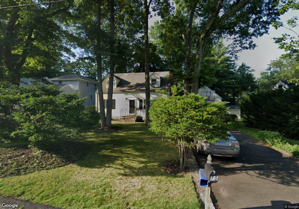
75 Unity Rd Stamford, CT 06905
Mid Ridge NeighborhoodEstimated Value: $660,000 - $735,000
4
Beds
2
Baths
1,467
Sq Ft
$471/Sq Ft
Est. Value
About This Home
This home is located at 75 Unity Rd, Stamford, CT 06905 and is currently estimated at $691,515, approximately $471 per square foot. 75 Unity Rd is a home located in Fairfield County with nearby schools including Stillmeadow Elementary School, Cloonan School, and Westhill High School.
Ownership History
Date
Name
Owned For
Owner Type
Purchase Details
Closed on
Nov 16, 2015
Sold by
Cannon John
Bought by
Cannon Agnes
Current Estimated Value
Purchase Details
Closed on
May 29, 2001
Sold by
Morgan Josephine E
Bought by
Cannon John J
Home Financials for this Owner
Home Financials are based on the most recent Mortgage that was taken out on this home.
Original Mortgage
$240,000
Interest Rate
7%
Mortgage Type
Purchase Money Mortgage
Create a Home Valuation Report for This Property
The Home Valuation Report is an in-depth analysis detailing your home's value as well as a comparison with similar homes in the area
Home Values in the Area
Average Home Value in this Area
Purchase History
| Date | Buyer | Sale Price | Title Company |
|---|---|---|---|
| Cannon Agnes | -- | -- | |
| Cannon Agnes | -- | -- | |
| Cannon John J | $300,000 | -- | |
| Cannon John J | $300,000 | -- |
Source: Public Records
Mortgage History
| Date | Status | Borrower | Loan Amount |
|---|---|---|---|
| Previous Owner | Cannon John J | $350,000 | |
| Previous Owner | Cannon John J | $240,000 | |
| Previous Owner | Cannon John J | $100,000 |
Source: Public Records
Tax History
| Year | Tax Paid | Tax Assessment Tax Assessment Total Assessment is a certain percentage of the fair market value that is determined by local assessors to be the total taxable value of land and additions on the property. | Land | Improvement |
|---|---|---|---|---|
| 2025 | $9,344 | $394,930 | $249,740 | $145,190 |
| 2024 | $9,139 | $394,930 | $249,740 | $145,190 |
| 2023 | $9,818 | $394,930 | $249,740 | $145,190 |
| 2022 | $7,994 | $298,960 | $180,910 | $118,050 |
| 2021 | $7,907 | $298,960 | $180,910 | $118,050 |
| 2020 | $7,704 | $298,960 | $180,910 | $118,050 |
| 2019 | $7,704 | $298,960 | $180,910 | $118,050 |
| 2018 | $7,420 | $298,960 | $180,910 | $118,050 |
| 2017 | $6,781 | $260,810 | $151,970 | $108,840 |
| 2016 | $6,591 | $260,810 | $151,970 | $108,840 |
| 2015 | $6,419 | $260,810 | $151,970 | $108,840 |
| 2014 | $6,205 | $260,810 | $151,970 | $108,840 |
Source: Public Records
Map
Nearby Homes
- 182 Turner Rd
- 212 High Clear Dr
- 263 Oaklawn Ave
- 7 Dubois St
- 83 Woodridge Dr S
- 10 Turner Rd
- 38 Woods End Rd
- 120 West Ln
- 543 Newfield Ave
- 168 Belltown Rd Unit 31
- 1154 Stillwater Rd
- 1 Megan Ln
- 2700 Bedford St Unit J
- 2435 Bedford St Unit 12B
- 24 Haig Ave
- 2437 Bedford St Unit H4
- 2437 Bedford St Unit C11
- 2289 Bedford St Unit H13
- 2289 Bedford St Unit G17
- 2289 Bedford St Unit A8