75 W Main St Monroe, ME 04951
Estimated Value: $239,354 - $290,000
Studio
--
Bath
--
Sq Ft
166,399
Sq Ft Lot
About This Home
This home is located at 75 W Main St, Monroe, ME 04951 and is currently estimated at $260,785. 75 W Main St is a home with nearby schools including Mt. View Middle School and Mt. View High School.
Ownership History
Date
Name
Owned For
Owner Type
Purchase Details
Closed on
Jun 4, 2021
Sold by
Spataro James A and Spataro Christine A
Bought by
Dennis Bo R
Current Estimated Value
Home Financials for this Owner
Home Financials are based on the most recent Mortgage that was taken out on this home.
Original Mortgage
$200,000
Outstanding Balance
$181,075
Interest Rate
2.9%
Mortgage Type
Purchase Money Mortgage
Estimated Equity
$79,710
Purchase Details
Closed on
May 8, 2017
Sold by
Lynsey Bray
Bought by
Spataro James and Laudani Christine
Home Financials for this Owner
Home Financials are based on the most recent Mortgage that was taken out on this home.
Original Mortgage
$162,000
Interest Rate
4.23%
Mortgage Type
New Conventional
Purchase Details
Closed on
Jul 1, 2015
Sold by
Sheridan Margaret
Bought by
Bray Lynsey
Home Financials for this Owner
Home Financials are based on the most recent Mortgage that was taken out on this home.
Original Mortgage
$140,000
Interest Rate
4%
Mortgage Type
Commercial
Create a Home Valuation Report for This Property
The Home Valuation Report is an in-depth analysis detailing your home's value as well as a comparison with similar homes in the area
Purchase History
| Date | Buyer | Sale Price | Title Company |
|---|---|---|---|
| Dennis Bo R | -- | None Available | |
| Spataro James | -- | -- | |
| Laudani Christine A | -- | -- | |
| Bray Lynsey | -- | -- |
Source: Public Records
Mortgage History
| Date | Status | Borrower | Loan Amount |
|---|---|---|---|
| Open | Dennis Bo R | $200,000 | |
| Previous Owner | Laudani Christine A | $162,000 | |
| Previous Owner | Spataro James | -- | |
| Previous Owner | Bray Lynsey | $140,000 |
Source: Public Records
Tax History
| Year | Tax Paid | Tax Assessment Tax Assessment Total Assessment is a certain percentage of the fair market value that is determined by local assessors to be the total taxable value of land and additions on the property. | Land | Improvement |
|---|---|---|---|---|
| 2021 | $1,602 | $111,264 | $22,388 | $88,876 |
| 2016 | $606 | $30,288 | $17,910 | $12,378 |
| 2015 | $3,413 | $170,658 | $23,660 | $146,998 |
| 2014 | $3,688 | $173,953 | $20,140 | $153,813 |
| 2013 | $3,512 | $163,335 | $15,510 | $147,825 |
Source: Public Records
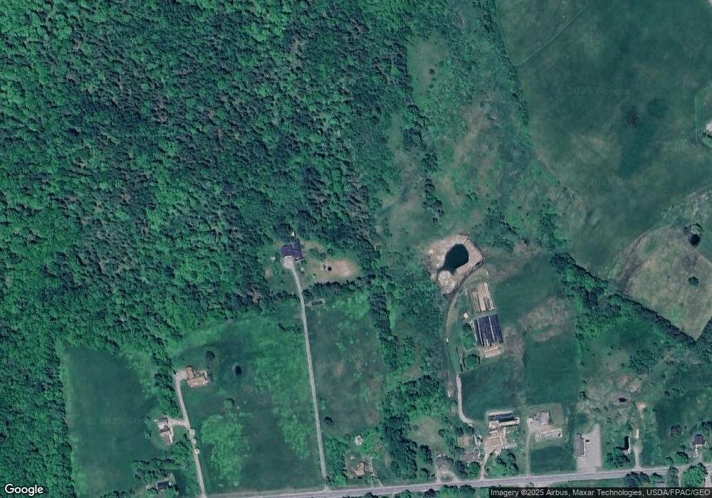
Map
Nearby Homes
- 550 Swan Lake Ave
- 375 Swan Lake Ave
- 171 Fisher Rd
- Lot #3 Bonnie Way
- Lot #4 Bonnie Way
- Lot #8 Bonnie Way
- Lot #6 Bonnie Way
- Lot #5 Bonnie Way
- Lot #7 Bonnie Way
- 1057 Back Brooks Rd
- Lots 4 + 5 Off Power Line
- 635 Stream Rd
- 00 Chandler Rd
- 25 Donachy Rd
- 272 Curtis Rd
- 567 Stream Rd
- 570 Stream Rd
- 1651 Swan Lake Ave
- 377 Village Rd
- 1564 Swan Lake Ave
Your Personal Tour Guide
Ask me questions while you tour the home.