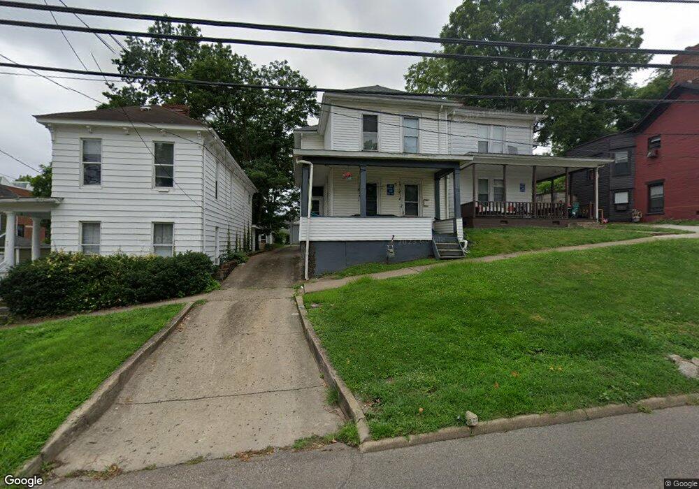
75 W State St Athens, OH 45701
Estimated Value: $217,000 - $267,000
4
Beds
2
Baths
1,856
Sq Ft
$132/Sq Ft
Est. Value
About This Home
This home is located at 75 W State St, Athens, OH 45701 and is currently estimated at $245,380, approximately $132 per square foot. 75 W State St is a home located in Athens County with nearby schools including West Elementary School, Athens Middle School, and Athens High School.
Ownership History
Date
Name
Owned For
Owner Type
Purchase Details
Closed on
Dec 15, 2011
Sold by
Coady James M and Coady Ann M
Bought by
Mccoady Properties Ltd
Current Estimated Value
Home Financials for this Owner
Home Financials are based on the most recent Mortgage that was taken out on this home.
Original Mortgage
$229,826
Outstanding Balance
$157,217
Interest Rate
4.01%
Mortgage Type
Seller Take Back
Estimated Equity
$88,163
Create a Home Valuation Report for This Property
The Home Valuation Report is an in-depth analysis detailing your home's value as well as a comparison with similar homes in the area
Home Values in the Area
Average Home Value in this Area
Purchase History
| Date | Buyer | Sale Price | Title Company |
|---|---|---|---|
| Mccoady Properties Ltd | $229,900 | Attorney |
Source: Public Records
Mortgage History
| Date | Status | Borrower | Loan Amount |
|---|---|---|---|
| Open | Mccoady Properties Ltd | $229,826 |
Source: Public Records
Tax History
| Year | Tax Paid | Tax Assessment Tax Assessment Total Assessment is a certain percentage of the fair market value that is determined by local assessors to be the total taxable value of land and additions on the property. | Land | Improvement |
|---|---|---|---|---|
| 2024 | $3,690 | $68,110 | $6,360 | $61,750 |
| 2023 | $3,444 | $68,110 | $6,360 | $61,750 |
| 2022 | $2,889 | $54,600 | $6,360 | $48,240 |
| 2021 | $2,902 | $54,600 | $6,360 | $48,240 |
| 2020 | $2,820 | $54,600 | $6,360 | $48,240 |
| 2019 | $2,741 | $52,450 | $5,700 | $46,750 |
| 2018 | $2,706 | $52,450 | $5,700 | $46,750 |
| 2017 | $4,671 | $52,450 | $5,700 | $46,750 |
| 2016 | $2,331 | $46,700 | $5,430 | $41,270 |
| 2015 | $4,265 | $46,700 | $5,430 | $41,270 |
| 2014 | $4,265 | $46,700 | $5,430 | $41,270 |
| 2013 | $4,052 | $45,590 | $5,430 | $40,160 |
Source: Public Records
Map
Nearby Homes
- 71 W Washington St
- 22 Pratt St
- 11 Walker St
- 42 Walker St
- 0 Roberts St
- 80 Court
- 56.15/15.5 Central & Clark
- 247 W Union St Unit 1003A
- 15 S Shafer St Unit 201
- 15 S Shafer St Unit 1509
- 15 S Shafer St Unit 203
- 15 S Shafer St Unit 608
- 15 S Shafer St Unit 1306
- 15 S Shafer St Unit 2102
- 15 S Shafer St Unit 510
- 193 N Lancaster St
- 64 Franklin Ave
- 11 Forest St
- 123 Grosvenor St
- 121 Morris Ave
- 77 W State St
- 73 W State St
- 85 W State St
- 13 S Lancaster St
- 17 S Lancaster St
- 69 W State St
- 19 S Lancaster St
- 74 W State St
- 21 S Lancaster St
- 72 W State St
- 87 W State St
- 70 W State St
- 80 W State St
- 82 W State St
- 2 Lancaster
- 91 W State St
- 86 W State St Unit 1
- 86 W State St Unit C
- 86 W State St Unit B
- 86 W State St Unit A
Your Personal Tour Guide
Ask me questions while you tour the home.