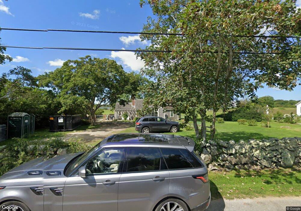
75 Warrens Point Rd Little Compton, RI 02837
Estimated Value: $1,677,000 - $2,577,000
4
Beds
2
Baths
2,161
Sq Ft
$1,018/Sq Ft
Est. Value
About This Home
This home is located at 75 Warrens Point Rd, Little Compton, RI 02837 and is currently estimated at $2,199,031, approximately $1,017 per square foot. 75 Warrens Point Rd is a home located in Newport County with nearby schools including Wilbur & McMahon School.
Ownership History
Date
Name
Owned For
Owner Type
Purchase Details
Closed on
Oct 12, 2018
Sold by
Mccleary George W
Bought by
Mccleary Benjamin P and Mccleary Marjorie E
Current Estimated Value
Home Financials for this Owner
Home Financials are based on the most recent Mortgage that was taken out on this home.
Original Mortgage
$514,640
Outstanding Balance
$446,944
Interest Rate
4.5%
Mortgage Type
New Conventional
Estimated Equity
$1,752,087
Create a Home Valuation Report for This Property
The Home Valuation Report is an in-depth analysis detailing your home's value as well as a comparison with similar homes in the area
Home Values in the Area
Average Home Value in this Area
Purchase History
| Date | Buyer | Sale Price | Title Company |
|---|---|---|---|
| Mccleary Benjamin P | $257,320 | -- | |
| Mccleary Benjamin P | $257,320 | -- | |
| Mccleary Benjamin P | $128,660 | -- | |
| Mccleary Benjamin P | $257,320 | -- |
Source: Public Records
Mortgage History
| Date | Status | Borrower | Loan Amount |
|---|---|---|---|
| Open | Mccleary Benjamin P | $514,640 | |
| Closed | Mccleary Benjamin P | $0 |
Source: Public Records
Tax History
| Year | Tax Paid | Tax Assessment Tax Assessment Total Assessment is a certain percentage of the fair market value that is determined by local assessors to be the total taxable value of land and additions on the property. | Land | Improvement |
|---|---|---|---|---|
| 2025 | $7,538 | $1,573,600 | $1,066,700 | $506,900 |
| 2024 | $7,060 | $1,389,800 | $927,100 | $462,700 |
| 2023 | $6,340 | $1,278,300 | $927,100 | $351,200 |
| 2022 | $6,294 | $1,284,400 | $927,100 | $357,300 |
| 2021 | $5,975 | $989,300 | $748,500 | $240,800 |
| 2020 | $5,710 | $953,300 | $748,500 | $204,800 |
| 2019 | $5,653 | $953,300 | $748,500 | $204,800 |
| 2018 | $5,656 | $949,000 | $748,500 | $200,500 |
| 2016 | $5,381 | $949,000 | $748,500 | $200,500 |
| 2015 | $5,368 | $933,500 | $733,000 | $200,500 |
| 2014 | $5,265 | $933,500 | $733,000 | $200,500 |
Source: Public Records
Map
Nearby Homes
- 141 S Of Commons Rd
- 38 Old Bull Ln
- 49 Ocean Dr
- 30 Indian Rd
- 89 S Shore Rd
- 128 Maple Ave
- 441 W Main Rd
- 0 Willow Ave
- 505 Long Hwy
- 141 Peckham Rd
- 515 Indian Ave
- 180 W Main Rd
- 255 John Dyer Rd
- 17 Ferolbink Way
- 155 W Main Rd
- 100 Summerfield Ln
- 0 Indian Ave
- 225 Old Mill Ln
- 141 Gray Craig Rd
- 180 Cottontail Dr
- 77 Warrens Point Rd
- 77 Warren's Point Rd
- 73A Warrens Point Rd
- 73 Warrens Point Rd Unit 65-55
- 71 Warrens Point Rd
- 71 Warren's Point Rd
- 80 Warrens Point Rd
- 67 Warren's Point Rd
- 74 Warrens Point Rd
- 64 Warrens Point Rd
- 70 Warrens Point Rd
- 74 Warren's Point Rd
- 83 Warrens Point Rd
- 73 Warren's Point Rd
- 82 Warren's Point Rd
- 62 Warrens Point Rd
- 69 Warrens Point Rd
- 84 Warrens Point Rd
- 3 Beach St
- 60 Warrens Point Rd
Your Personal Tour Guide
Ask me questions while you tour the home.