75 Waterfowl Way Batesville, AR 72501
Estimated Value: $141,000 - $323,000
--
Bed
2
Baths
2,516
Sq Ft
$101/Sq Ft
Est. Value
About This Home
This home is located at 75 Waterfowl Way, Batesville, AR 72501 and is currently estimated at $253,783, approximately $100 per square foot. 75 Waterfowl Way is a home located in Independence County with nearby schools including Batesville Junior High School.
Ownership History
Date
Name
Owned For
Owner Type
Purchase Details
Closed on
Oct 19, 2020
Sold by
Potts Doyne and Potts Rita
Bought by
Potts Gregory Wayne
Current Estimated Value
Purchase Details
Closed on
Nov 8, 2012
Sold by
Potts Gregory Wayne
Bought by
Gregory Wayne Potts Revocable Trust
Purchase Details
Closed on
Sep 19, 2006
Sold by
Not Provided
Bought by
Potts Gregory
Purchase Details
Closed on
Feb 20, 1997
Bought by
Potts Gregory
Purchase Details
Closed on
Nov 9, 1993
Bought by
Potts Doyne
Purchase Details
Closed on
Aug 1, 1993
Bought by
Potts Doyne
Create a Home Valuation Report for This Property
The Home Valuation Report is an in-depth analysis detailing your home's value as well as a comparison with similar homes in the area
Home Values in the Area
Average Home Value in this Area
Purchase History
| Date | Buyer | Sale Price | Title Company |
|---|---|---|---|
| Potts Gregory Wayne | $3,100 | None Available | |
| Gregory Wayne Potts Revocable Trust | -- | None Available | |
| Potts Gregory | -- | -- | |
| Potts Gregory | -- | -- | |
| Potts Gregory | -- | -- | |
| Potts Doyne | $9,000 | -- | |
| Potts Gregory | $9,000 | -- | |
| Potts Doyne | $20,000 | -- |
Source: Public Records
Tax History Compared to Growth
Tax History
| Year | Tax Paid | Tax Assessment Tax Assessment Total Assessment is a certain percentage of the fair market value that is determined by local assessors to be the total taxable value of land and additions on the property. | Land | Improvement |
|---|---|---|---|---|
| 2024 | $1,266 | $35,920 | $4,100 | $31,820 |
| 2023 | $1,341 | $35,920 | $4,100 | $31,820 |
| 2022 | $1,391 | $35,920 | $4,100 | $31,820 |
| 2021 | $1,391 | $35,920 | $4,100 | $31,820 |
| 2020 | $1,324 | $35,920 | $4,100 | $31,820 |
| 2019 | $1,181 | $32,860 | $3,870 | $28,990 |
| 2018 | $1,206 | $32,860 | $3,870 | $28,990 |
| 2017 | $1,206 | $32,860 | $3,870 | $28,990 |
| 2016 | $1,206 | $32,860 | $3,870 | $28,990 |
| 2015 | $1,206 | $32,860 | $3,870 | $28,990 |
| 2014 | $1,176 | $32,220 | $3,420 | $28,800 |
Source: Public Records
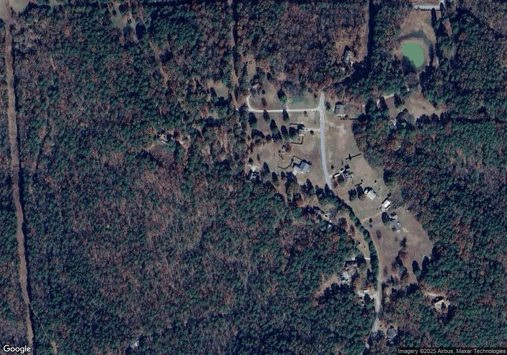
Map
Nearby Homes
- 425 Meade Ln
- 64 Lock 2 Rd
- 40 Sutton Ln
- 915 Bethesda Rd
- 90 Mitchell Rd
- 0 Heber Springs Rd
- 650 Gainer Ferry Rd
- 51 Yates St
- 3460 Bethesda Rd
- 490 Gregg Dr
- 480 Hawkins St
- 405 Hawkins St
- 32 & 33 Joe Baker Rd
- 3976 N Central Ave
- 325 Broadwater Ln
- 219 E Mcclendon St
- 1819 N State St
- 814 Bayou St
- 3565 Denny Cir
- 468 Park Rd
- 160 Westwood Dr
- 130 Westwood Dr
- 170 Westwood Dr
- 40 Bracy Mountain Dr
- 169 Mount Springs Rd
- 20 Bracy Mountain Dr
- 0 Westwood Dr
- 115 Westwood Dr
- 115 Westwood Dr
- 165 Westwood Dr
- 180 Westwood Dr
- 169 Westwood Dr
- 169 Westwood Dr
- 100 Westwood Dr
- 39 Westwood Dr
- 219 Westwood Dr
- 305 Westwood Dr
- 105 Mount Springs Rd
- 229 Westwood Dr
- 400 Westwood Dr