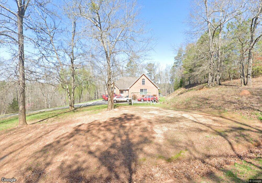
75 Weaver Rd Cedartown, GA 30125
Estimated Value: $345,000 - $452,000
3
Beds
3
Baths
2,256
Sq Ft
$175/Sq Ft
Est. Value
About This Home
This home is located at 75 Weaver Rd, Cedartown, GA 30125 and is currently estimated at $395,175, approximately $175 per square foot. 75 Weaver Rd is a home located in Polk County.
Ownership History
Date
Name
Owned For
Owner Type
Purchase Details
Closed on
Nov 15, 2004
Sold by
Weaver Nancy J**
Bought by
Wilkerson Gregg
Current Estimated Value
Purchase Details
Closed on
Nov 20, 2003
Sold by
Weaver Barry
Bought by
Wilkerson Greg
Purchase Details
Closed on
Nov 18, 2003
Sold by
Weaver Nancy J
Bought by
Weaver Barry
Purchase Details
Closed on
Jan 25, 1995
Sold by
Crothers Lynne L
Bought by
Weaver Nancy J
Purchase Details
Closed on
Sep 8, 1989
Sold by
Nekiel Joseph and Nekiel
Bought by
Crothers Lynne L
Purchase Details
Closed on
Nov 6, 1985
Bought by
Nekiel Joseph and Nekiel
Create a Home Valuation Report for This Property
The Home Valuation Report is an in-depth analysis detailing your home's value as well as a comparison with similar homes in the area
Home Values in the Area
Average Home Value in this Area
Purchase History
| Date | Buyer | Sale Price | Title Company |
|---|---|---|---|
| Wilkerson Gregg | -- | -- | |
| Wilkerson Greg | -- | -- | |
| Weaver Barry | -- | -- | |
| Weaver Nancy J | $3,500 | -- | |
| Crothers Lynne L | $5,100 | -- | |
| Nekiel Joseph | -- | -- |
Source: Public Records
Tax History Compared to Growth
Tax History
| Year | Tax Paid | Tax Assessment Tax Assessment Total Assessment is a certain percentage of the fair market value that is determined by local assessors to be the total taxable value of land and additions on the property. | Land | Improvement |
|---|---|---|---|---|
| 2024 | $2,694 | $143,585 | $6,700 | $136,885 |
| 2023 | $1,915 | $94,064 | $6,700 | $87,364 |
| 2022 | $1,621 | $81,676 | $6,700 | $74,976 |
| 2021 | $1,642 | $81,676 | $6,700 | $74,976 |
| 2020 | $1,919 | $81,676 | $6,700 | $74,976 |
| 2019 | $1,841 | $70,556 | $5,890 | $64,666 |
| 2018 | $1,774 | $66,370 | $5,890 | $60,480 |
| 2017 | $1,752 | $66,370 | $5,890 | $60,480 |
| 2016 | $1,756 | $66,524 | $5,890 | $60,634 |
| 2015 | $1,681 | $63,606 | $5,890 | $57,716 |
| 2014 | $1,655 | $62,186 | $4,470 | $57,716 |
Source: Public Records
Map
Nearby Homes
- 123 Santa Claus Rd
- 424 Michael Blvd
- 374 Seab Green Rd
- 383 Valley Grove Rd
- 323 Mountain Home Rd
- 148 Persons Rd
- 0 Mountain Home Rd Unit 1020-B 10351940
- 0 Mountain Home Rd Unit 1020-C 10351948
- 0 Mountain Home Rd Unit 1020-A 10351930
- 100 Lee Ave
- 0 Cave Spring Rd Unit 10631588
- 0 Cave Spring Rd Unit 7671027
- 1200 N Cave Spring St
- 1849 Prior Station Rd Unit 77.57 ACRES
- 1849 Prior Station Rd
- 39 Summerwind Dr
- 208 Silverthorn Way
- 600 Miller Rd
- 727 Cherokee Rd
- 217 Cherokee Cir
- 87 Weaver Rd
- 87 Weaver Rd
- 87 Weaver Rd
- 99 Weaver Rd
- 76 Weaver Rd
- 520 Parrish Rd
- 460 Parrish Rd
- 250 Santa Claus Rd
- 0 Weaver Rd
- 418 Parrish Rd
- 480 Parrish Rd
- 215 Santa Claus Rd
- 215 Santa Claus Rd
- 452 Parrish Rd
- 432 Parrish Rd
- 321 Santa Claus Rd
- 298 Santa Claus Rd
- 404 Parrish Rd
- 201 Santa Claus Rd
- 402 Parrish Rd
