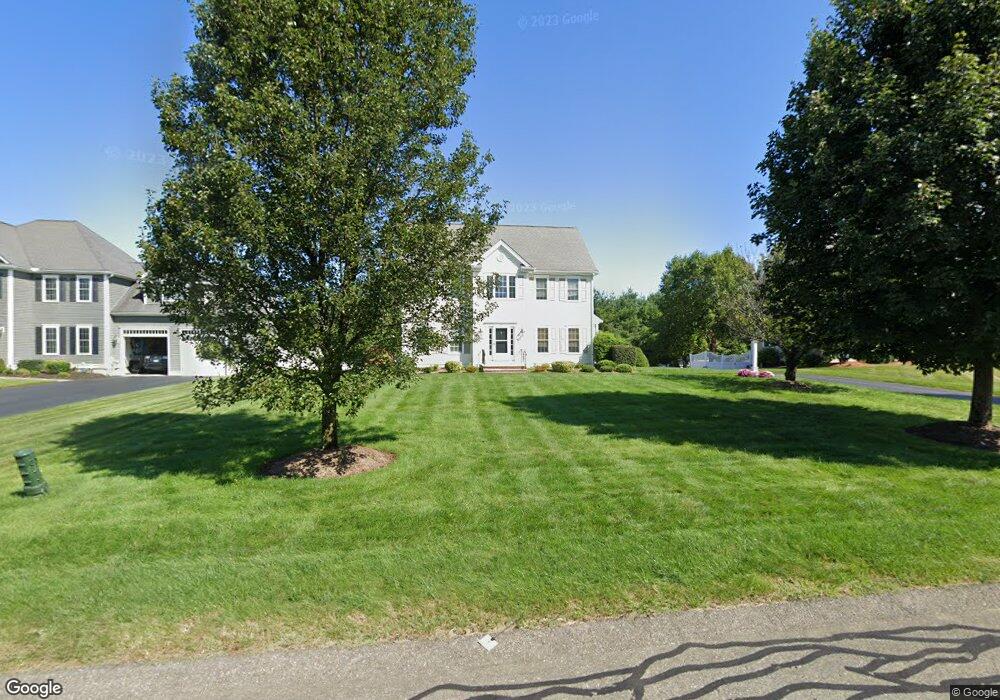
75 Weetamoo Way Wrentham, MA 02093
Estimated Value: $1,092,231 - $1,217,000
4
Beds
3
Baths
3,206
Sq Ft
$357/Sq Ft
Est. Value
About This Home
This home is located at 75 Weetamoo Way, Wrentham, MA 02093 and is currently estimated at $1,145,808, approximately $357 per square foot. 75 Weetamoo Way is a home located in Norfolk County with nearby schools including Delaney Elementary School and Charles E Roderick.
Ownership History
Date
Name
Owned For
Owner Type
Purchase Details
Closed on
Nov 30, 2004
Sold by
Diplacido Dev Corp
Bought by
Kelley Karen and Kelley Michael J
Current Estimated Value
Home Financials for this Owner
Home Financials are based on the most recent Mortgage that was taken out on this home.
Original Mortgage
$300,000
Outstanding Balance
$150,440
Interest Rate
5.75%
Mortgage Type
Purchase Money Mortgage
Estimated Equity
$995,368
Create a Home Valuation Report for This Property
The Home Valuation Report is an in-depth analysis detailing your home's value as well as a comparison with similar homes in the area
Home Values in the Area
Average Home Value in this Area
Purchase History
| Date | Buyer | Sale Price | Title Company |
|---|---|---|---|
| Kelley Karen | $629,122 | -- |
Source: Public Records
Mortgage History
| Date | Status | Borrower | Loan Amount |
|---|---|---|---|
| Open | Kelley Karen | $300,000 |
Source: Public Records
Tax History Compared to Growth
Tax History
| Year | Tax Paid | Tax Assessment Tax Assessment Total Assessment is a certain percentage of the fair market value that is determined by local assessors to be the total taxable value of land and additions on the property. | Land | Improvement |
|---|---|---|---|---|
| 2025 | $11,249 | $970,600 | $316,400 | $654,200 |
| 2024 | $10,679 | $889,900 | $316,400 | $573,500 |
| 2023 | $10,502 | $832,200 | $287,600 | $544,600 |
| 2022 | $9,972 | $729,500 | $261,400 | $468,100 |
| 2021 | $9,725 | $691,200 | $261,400 | $429,800 |
| 2020 | $9,867 | $692,400 | $214,900 | $477,500 |
| 2019 | $9,465 | $670,300 | $214,900 | $455,400 |
| 2018 | $9,149 | $642,500 | $215,100 | $427,400 |
| 2017 | $8,859 | $621,700 | $211,000 | $410,700 |
| 2016 | $8,742 | $612,200 | $204,900 | $407,300 |
| 2015 | $8,927 | $595,900 | $197,000 | $398,900 |
| 2014 | $8,843 | $577,600 | $189,400 | $388,200 |
Source: Public Records
Map
Nearby Homes
- Lot 1 - Blueberry 2 Car Plan at King Philip Estates
- Lot 8 - Blueberry 2 Car Plan at King Philip Estates
- Lot 5 - Hughes 2 car Plan at King Philip Estates
- Lot 6 - Blueberry 3 Car Plan at King Philip Estates
- Lot 2 - Camden 2 Car Plan at King Philip Estates
- Lot 7 - Cedar Plan at King Philip Estates
- Lot 4 - Hemingway 2 Car Plan at King Philip Estates
- Lot 3 - Blueberry 2 Car Plan at King Philip Estates
- Lot 3 - 14 Earle Stewart Ln
- 11 Earle Stewart Ln
- 131 Creek St Unit 7
- 791 South St Unit 5
- 319 Taunton St
- 570 Franklin St
- 10 Nature View Dr
- 15 Nature View Dr
- 440 Chestnut St
- 50 Green St
- 1204 South St
- 1222 South St
- 85 Weetamoo Way
- 65 Weetamoo Way
- 95 Weetamoo Way
- 55 Weetamoo Way
- 105 Annawon Ave
- 115 Annawon Ave
- 50 Weetamoo Way
- 60 Weetamoo Way
- 40 Weetamoo Way
- 45 Weetamoo Way
- 125 Annawon Ave
- 70 Weetamoo Way
- 30 Weetamoo Way
- 85 Annawon Ave
- 135 Annawon Ave
- 35 Weetamoo Way
- 70 Pokanoket Path
- 25 Annawon Ave
- 60 Pokanoket Path
- 20 Weetamoo Way