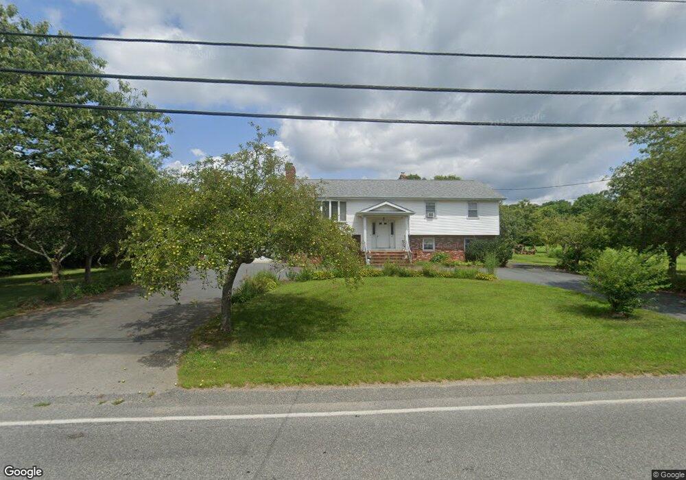
75 Wing Rd Acushnet, MA 02743
Upper Acushnet NeighborhoodEstimated Value: $509,000 - $750,000
Studio
2
Baths
1,979
Sq Ft
$312/Sq Ft
Est. Value
About This Home
This home is located at 75 Wing Rd, Acushnet, MA 02743 and is currently estimated at $617,134, approximately $311 per square foot. 75 Wing Rd is a home located in Bristol County with nearby schools including Acushnet Elementary School, Albert F Ford Middle School, and Alma Del Mar Charter School.
Create a Home Valuation Report for This Property
The Home Valuation Report is an in-depth analysis detailing your home's value as well as a comparison with similar homes in the area
Home Values in the Area
Average Home Value in this Area
Tax History
| Year | Tax Paid | Tax Assessment Tax Assessment Total Assessment is a certain percentage of the fair market value that is determined by local assessors to be the total taxable value of land and additions on the property. | Land | Improvement |
|---|---|---|---|---|
| 2025 | $58 | $537,900 | $176,500 | $361,400 |
| 2024 | $5,683 | $498,100 | $167,300 | $330,800 |
| 2023 | $5,567 | $463,900 | $151,800 | $312,100 |
| 2022 | $5,161 | $388,900 | $142,800 | $246,100 |
| 2021 | $5,217 | $377,200 | $142,800 | $234,400 |
| 2020 | $5,133 | $368,200 | $133,800 | $234,400 |
| 2019 | $5,068 | $357,400 | $127,800 | $229,600 |
| 2018 | $4,943 | $342,800 | $127,800 | $215,000 |
| 2017 | $4,826 | $334,200 | $127,800 | $206,400 |
| 2016 | $4,660 | $320,700 | $127,800 | $192,900 |
| 2015 | $4,321 | $302,600 | $127,800 | $174,800 |
Source: Public Records
Map
Nearby Homes
Your Personal Tour Guide
Ask me questions while you tour the home.