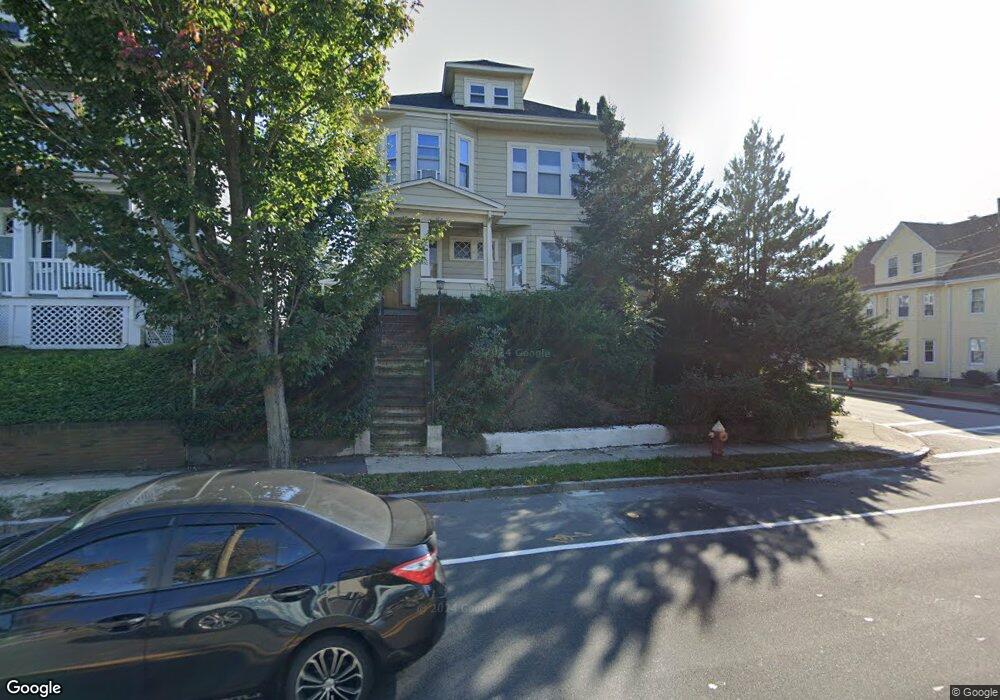
750 Belmont St Unit 1 Watertown, MA 02472
West Watertown NeighborhoodEstimated Value: $631,000 - $704,000
2
Beds
1
Bath
1,250
Sq Ft
$541/Sq Ft
Est. Value
About This Home
This home is located at 750 Belmont St Unit 1, Watertown, MA 02472 and is currently estimated at $676,226, approximately $540 per square foot. 750 Belmont St Unit 1 is a home located in Middlesex County with nearby schools including The Kendall School and Beacon High School.
Ownership History
Date
Name
Owned For
Owner Type
Purchase Details
Closed on
Aug 31, 2005
Sold by
Savas Elaine and Savas Electra
Bought by
Ambila Mujani B and Ambila Victor
Current Estimated Value
Home Financials for this Owner
Home Financials are based on the most recent Mortgage that was taken out on this home.
Original Mortgage
$284,000
Outstanding Balance
$151,559
Interest Rate
5.81%
Mortgage Type
Purchase Money Mortgage
Estimated Equity
$524,667
Create a Home Valuation Report for This Property
The Home Valuation Report is an in-depth analysis detailing your home's value as well as a comparison with similar homes in the area
Home Values in the Area
Average Home Value in this Area
Purchase History
| Date | Buyer | Sale Price | Title Company |
|---|---|---|---|
| Ambila Mujani B | $355,000 | -- |
Source: Public Records
Mortgage History
| Date | Status | Borrower | Loan Amount |
|---|---|---|---|
| Open | Ambila Mujani B | $284,000 |
Source: Public Records
Tax History Compared to Growth
Tax History
| Year | Tax Paid | Tax Assessment Tax Assessment Total Assessment is a certain percentage of the fair market value that is determined by local assessors to be the total taxable value of land and additions on the property. | Land | Improvement |
|---|---|---|---|---|
| 2025 | $5,973 | $511,400 | $0 | $511,400 |
| 2024 | $5,758 | $492,100 | $0 | $492,100 |
| 2023 | $6,138 | $452,000 | $0 | $452,000 |
| 2022 | $5,463 | $412,300 | $0 | $412,300 |
| 2021 | $4,928 | $402,300 | $0 | $402,300 |
| 2020 | $4,761 | $392,200 | $0 | $392,200 |
| 2019 | $4,576 | $355,300 | $0 | $355,300 |
| 2018 | $4,398 | $326,500 | $0 | $326,500 |
| 2017 | $4,225 | $304,200 | $0 | $304,200 |
| 2016 | $4,161 | $304,200 | $0 | $304,200 |
| 2015 | $4,278 | $284,600 | $0 | $284,600 |
| 2014 | $3,966 | $265,100 | $0 | $265,100 |
Source: Public Records
Map
Nearby Homes
- 98 Carroll St Unit 98
- 748 Belmont St
- 103 Harnden Ave Unit 103
- 50 Carroll St Unit 50
- 18 Wilson Ave Unit 2
- 26 Ridge Rd
- 121 Channing Rd
- 52-54 Vincent Ave
- 88 Bartlett Ave
- 289 Waverley Ave Unit 2
- 46 Hall Ave Unit 2
- 6 Hovey St
- 2 Bartlett Ave Unit 1
- 28 Whitney St
- 17 Ripley Rd
- 30 Merrill Rd
- 91 Standish Rd
- 88 Palfrey Rd Unit 88
- 287 Lexington St
- 356 Lexington St
- 750 Belmont St Unit 2
- 750 Belmont St
- 99 Carroll St
- 744 Belmont St Unit 744
- 742 Belmont St
- 760 Belmont St
- 762 Belmont St Unit 762
- 95 Carroll St
- 731 Belmont St
- 731 Belmont St Unit 731
- 731 Belmont St Unit 1
- 11 York Ave Unit 11
- 733 Belmont St
- 738 Belmont St Unit 740
- 738 Belmont St Unit 1
- 9 York Ave
- 9 York Ave Unit 9
- 9 York Ave Unit 11
- 729 Belmont St Unit Rear
- 729 Belmont St Unit 1