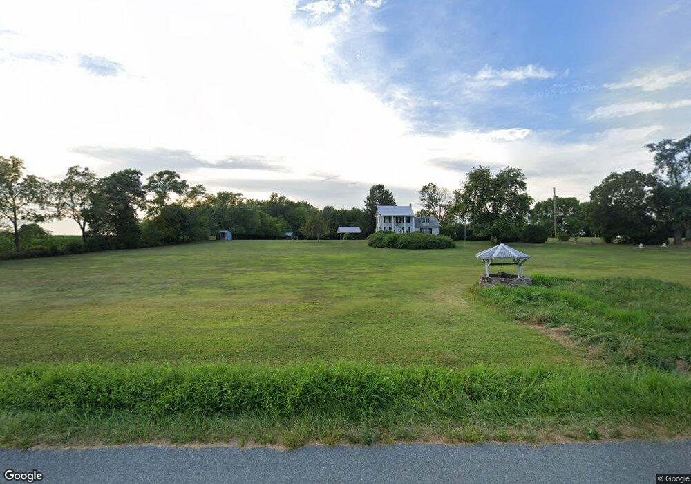
750 Bowers Rd Littlestown, PA 17340
Estimated Value: $344,000 - $504,000
4
Beds
3
Baths
1,758
Sq Ft
$242/Sq Ft
Est. Value
About This Home
This home is located at 750 Bowers Rd, Littlestown, PA 17340 and is currently estimated at $425,007, approximately $241 per square foot. 750 Bowers Rd is a home located in Adams County with nearby schools including Rolling Acres El School, Maple Avenue Middle School, and Littlestown Senior High School.
Ownership History
Date
Name
Owned For
Owner Type
Purchase Details
Closed on
Jul 19, 2013
Sold by
Weaver Robert T
Bought by
Weaver Robert T and Weaver Mary C
Current Estimated Value
Home Financials for this Owner
Home Financials are based on the most recent Mortgage that was taken out on this home.
Original Mortgage
$256,500
Interest Rate
3.95%
Mortgage Type
Reverse Mortgage Home Equity Conversion Mortgage
Create a Home Valuation Report for This Property
The Home Valuation Report is an in-depth analysis detailing your home's value as well as a comparison with similar homes in the area
Home Values in the Area
Average Home Value in this Area
Purchase History
| Date | Buyer | Sale Price | Title Company |
|---|---|---|---|
| Weaver Robert T | -- | None Available |
Source: Public Records
Mortgage History
| Date | Status | Borrower | Loan Amount |
|---|---|---|---|
| Closed | Weaver Robert T | $256,500 |
Source: Public Records
Tax History Compared to Growth
Tax History
| Year | Tax Paid | Tax Assessment Tax Assessment Total Assessment is a certain percentage of the fair market value that is determined by local assessors to be the total taxable value of land and additions on the property. | Land | Improvement |
|---|---|---|---|---|
| 2025 | $4,727 | $286,300 | $173,600 | $112,700 |
| 2024 | $5,109 | $286,300 | $173,600 | $112,700 |
| 2023 | $5,006 | $286,300 | $173,600 | $112,700 |
| 2022 | $4,969 | $286,300 | $173,600 | $112,700 |
| 2021 | $4,833 | $286,300 | $173,600 | $112,700 |
| 2020 | $4,397 | $286,300 | $173,600 | $112,700 |
| 2019 | $4,366 | $286,300 | $173,600 | $112,700 |
| 2018 | $4,557 | $286,300 | $173,600 | $112,700 |
| 2017 | $4,415 | $286,300 | $173,600 | $112,700 |
| 2016 | -- | $286,300 | $173,600 | $112,700 |
| 2015 | -- | $286,300 | $173,600 | $112,700 |
| 2014 | -- | $286,300 | $173,600 | $112,700 |
Source: Public Records
Map
Nearby Homes
- 464 Locust Ln
- 48 Cannon Ln Unit 105
- 3801 Baltimore Pike
- 202 Plunkert Rd Unit 2
- 67 Cedarfield Dr
- 89 Maple St Unit 68
- 138 Cedarfield Dr Unit 71
- 27 Maple St
- 1 Hickory Ave
- 8 Maple St
- 34 W Hanover St
- 25 Harvest Dr
- 230 W Crest View Ln
- 0 Littlestown Rd
- 824 Hancock Dr Unit 824
- 871 Sherman Dr Unit 871
- 20 Locust Dr
- 0 Locust Dr Unit PAAD2015910
- 20c Locust Dr
- 549 Grant Dr Unit 549
- 173 Bulk Plant Rd
- 173 Bulk Plant Rd
- 173 Bulk Plant Rd
- 606 Bowers Rd
- 853 Bowers Rd
- 175 Bulk Plant Rd
- 600 Bowers Rd Unit 1
- 880 Bowers Rd
- 580 Bowers Rd
- 555 Bowers Rd Unit 2
- 325 Bulk Plant Rd Unit 2
- 385 Bulk Plant Rd
- 425 Bulk Plant Rd Unit 2
- 96 Lori Ln
- 70 Lori Ln
- 575 Hickory Rd
- 50 Lori Ln
- 450 Bowers Rd
- 75 Lori Ln
- 7 Lori Ln