Estimated Value: $294,392
Studio
--
Bath
--
Sq Ft
--
Built
About This Home
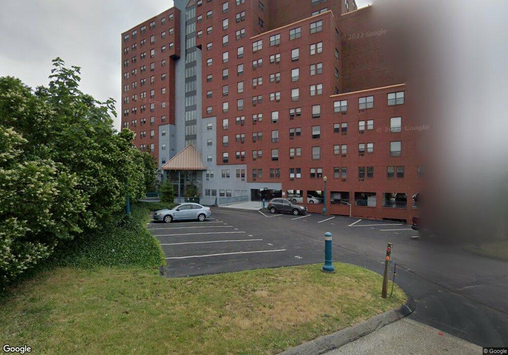
This home is located at 750 Davol St, Fall River, MA 02720 and is currently estimated at $294,392. 750 Davol St is a home located in Bristol County with nearby schools including Mary Fonseca Elementary School, Morton Middle School, and B M C Durfee High School.
Ownership History
Date
Name
Owned For
Owner Type
Purchase Details
Closed on
Jan 30, 2023
Sold by
Masson Dennis R
Bought by
Masson Dennis R and Masson Linda M
Current Estimated Value
Purchase Details
Closed on
Apr 12, 1996
Sold by
Mello Nelssson C
Bought by
Bates Gary R
Purchase Details
Closed on
Oct 3, 1995
Sold by
Lh Rt and Howard
Bought by
Almeida Mary L
Create a Home Valuation Report for This Property
The Home Valuation Report is an in-depth analysis detailing your home's value as well as a comparison with similar homes in the area
Home Values in the Area
Average Home Value in this Area
Purchase History
| Date | Buyer | Sale Price | Title Company |
|---|---|---|---|
| Masson Dennis R | -- | None Available | |
| Bates Gary R | $76,500 | -- | |
| Almeida Mary L | $75,000 | -- |
Source: Public Records
Tax History
| Year | Tax Paid | Tax Assessment Tax Assessment Total Assessment is a certain percentage of the fair market value that is determined by local assessors to be the total taxable value of land and additions on the property. | Land | Improvement |
|---|---|---|---|---|
| 2025 | -- | $0 | $0 | $0 |
| 2024 | -- | $0 | $0 | $0 |
| 2023 | $0 | $0 | $0 | $0 |
| 2022 | $0 | $0 | $0 | $0 |
| 2021 | $0 | $0 | $0 | $0 |
| 2020 | $0 | $0 | $0 | $0 |
| 2019 | $0 | $0 | $0 | $0 |
| 2018 | $0 | $0 | $0 | $0 |
| 2017 | $0 | $0 | $0 | $0 |
| 2016 | -- | $0 | $0 | $0 |
| 2015 | -- | $0 | $0 | $0 |
| 2014 | -- | $0 | $0 | $0 |
Source: Public Records
About Point Gloria Condominiums
Map
Nearby Homes
- 750 Davol St Unit 1012
- 750 Davol St Unit 219
- 750 Davol St Unit 221
- 750 Davol St Unit 616
- 750 Davol St Unit 214
- 11 Dyer St
- 575 N Main St
- 339 Danforth St Unit 6
- 337 Danforth St Unit 7
- 10 N Court St Unit 3
- 327 Brownell St
- 9 Doctor St
- 33-35 Malvey St
- 889 High St
- 267 Lincoln Ave
- 909 High St Unit 1
- 72 Belmont St
- 450 Rock St Unit 1
- 126 June St
- 302 Cory St
- 750 Davol St Unit 1222
- 750 Davol St Unit 1220
- 750 Davol St Unit 1218
- 750 Davol St Unit 1216
- 750 Davol St Unit 1215
- 750 Davol St Unit 1214
- 750 Davol St Unit 1213
- 750 Davol St Unit 1212
- 750 Davol St Unit 1211
- 750 Davol St Unit 1122
- 750 Davol St Unit 1115
- 750 Davol St Unit 1114
- 750 Davol St Unit 1113
- 750 Davol St Unit 1111
- 750 Davol St Unit 1022
- 750 Davol St Unit 1018
- 750 Davol St Unit 1016
- 750 Davol St Unit 1015
- 750 Davol St Unit 1014
- 750 Davol St Unit 1013
Your Personal Tour Guide
Ask me questions while you tour the home.