Estimated Value: $134,000 - $177,000
2
Beds
1
Bath
924
Sq Ft
$161/Sq Ft
Est. Value
About This Home
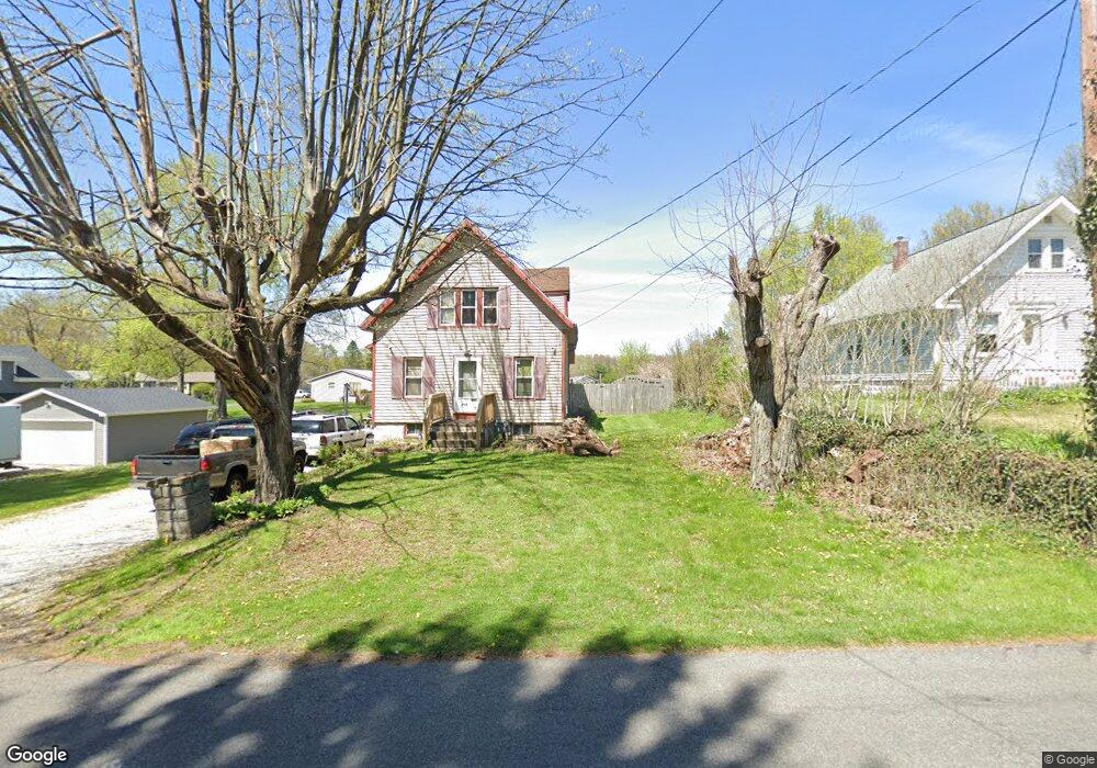
This home is located at 750 Ewart Rd, Akron, OH 44312 and is currently estimated at $149,202, approximately $161 per square foot. 750 Ewart Rd is a home located in Summit County with nearby schools including Springfield High School and Summit Academy Akron Elementary School.
Ownership History
Date
Name
Owned For
Owner Type
Purchase Details
Closed on
Oct 18, 2007
Sold by
Campbell Roy and Campbell Connie L
Bought by
Campbell Roy and Campbell Connie L
Current Estimated Value
Purchase Details
Closed on
Feb 1, 2002
Sold by
Campbell Connie L
Bought by
Campbell Roy and Campbell Connie L
Home Financials for this Owner
Home Financials are based on the most recent Mortgage that was taken out on this home.
Original Mortgage
$74,000
Interest Rate
7.26%
Purchase Details
Closed on
Dec 15, 2000
Sold by
Morehead Deat A
Bought by
Morehead Deat A and Deat A Morehead Trust
Purchase Details
Closed on
Aug 24, 2000
Sold by
Morehead Deat A Trustee
Bought by
Morehead Deat A
Create a Home Valuation Report for This Property
The Home Valuation Report is an in-depth analysis detailing your home's value as well as a comparison with similar homes in the area
Home Values in the Area
Average Home Value in this Area
Purchase History
| Date | Buyer | Sale Price | Title Company |
|---|---|---|---|
| Campbell Roy | -- | Attorney | |
| Campbell Roy | $105,000 | C&J Title | |
| Morehead Deat A | -- | -- | |
| Morehead Deat A | -- | -- |
Source: Public Records
Mortgage History
| Date | Status | Borrower | Loan Amount |
|---|---|---|---|
| Closed | Campbell Roy | $74,000 |
Source: Public Records
Tax History Compared to Growth
Tax History
| Year | Tax Paid | Tax Assessment Tax Assessment Total Assessment is a certain percentage of the fair market value that is determined by local assessors to be the total taxable value of land and additions on the property. | Land | Improvement |
|---|---|---|---|---|
| 2025 | $2,402 | $41,497 | $9,545 | $31,952 |
| 2024 | $2,402 | $41,497 | $9,545 | $31,952 |
| 2023 | $2,402 | $41,497 | $9,545 | $31,952 |
| 2022 | $2,101 | $31,329 | $6,867 | $24,462 |
| 2021 | $2,059 | $31,329 | $6,867 | $24,462 |
| 2020 | $2,031 | $31,330 | $6,870 | $24,460 |
| 2019 | $1,776 | $25,290 | $7,600 | $17,690 |
| 2018 | $1,710 | $25,290 | $7,600 | $17,690 |
| 2017 | $1,716 | $25,290 | $7,600 | $17,690 |
| 2016 | $1,731 | $24,380 | $7,600 | $16,780 |
| 2015 | $1,716 | $24,380 | $7,600 | $16,780 |
| 2014 | $3,390 | $24,380 | $7,600 | $16,780 |
| 2013 | $1,704 | $24,400 | $7,600 | $16,800 |
Source: Public Records
Map
Nearby Homes
- 625 N Oakwood Dr
- 788 N Oakwood Dr
- 2941 Old Home Rd
- 754 Fettro Rd
- 2835 Farmdale Rd
- 2809 McElwain Rd
- 3394 Albrecht Ave
- 1002 Bookman Ave
- 847 Bristol Dr
- 3474 Albrecht Ave
- 0 Edith Ave Unit 5137069
- 496 James Ave
- 3191 Castleton Ct
- 3134 Shelton Ct
- 233 Marion Ave
- 1011 Sunrise Way
- 1357 Shanafelt Ave
- 3362 Brentwood Dr
- V/L Marion Ave
- 3539 Carper Ave