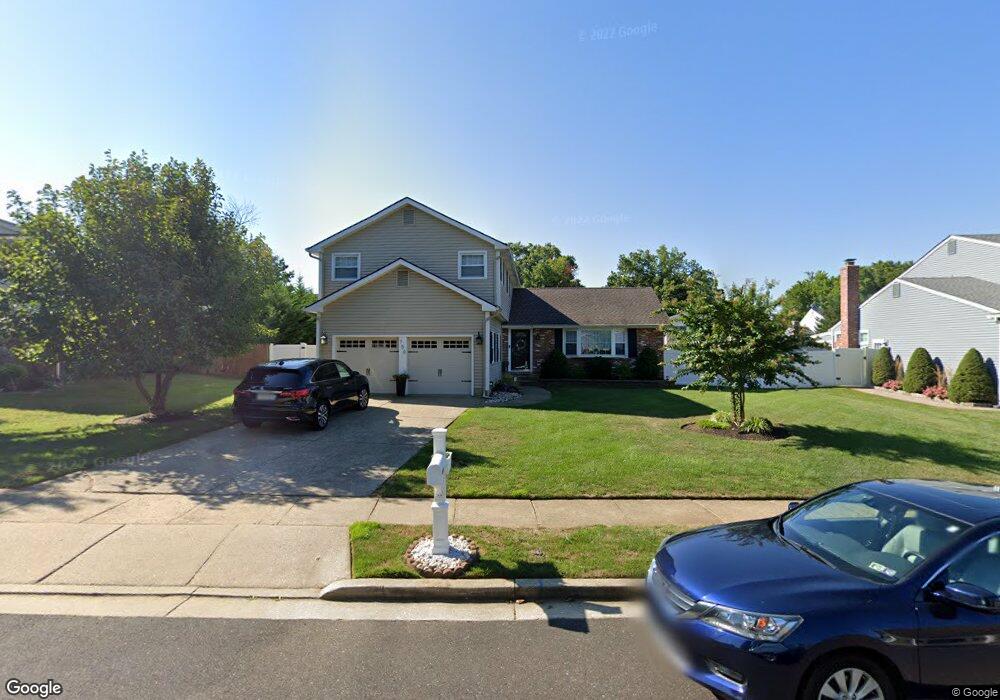
750 Grant Rd Mount Laurel, NJ 08054
Estimated Value: $611,230 - $662,000
4
Beds
3
Baths
2,306
Sq Ft
$275/Sq Ft
Est. Value
About This Home
This home is located at 750 Grant Rd, Mount Laurel, NJ 08054 and is currently estimated at $633,308, approximately $274 per square foot. 750 Grant Rd is a home located in Burlington County with nearby schools including Hillside Elementary School, T.E. Harrington Middle School, and Mount Laurel Hartford School.
Ownership History
Date
Name
Owned For
Owner Type
Purchase Details
Closed on
Mar 12, 2010
Sold by
Sittineri Robert A and Sittineri Jennifer R
Bought by
Daversa Joseph A and Daversa Dyan
Current Estimated Value
Home Financials for this Owner
Home Financials are based on the most recent Mortgage that was taken out on this home.
Original Mortgage
$292,000
Outstanding Balance
$192,686
Interest Rate
5.05%
Mortgage Type
New Conventional
Estimated Equity
$440,622
Purchase Details
Closed on
Mar 3, 2005
Sold by
Plasket J Douglas and Plasket Kimberly A
Bought by
Sittineri Robert A and Sittineri Jennifer R
Home Financials for this Owner
Home Financials are based on the most recent Mortgage that was taken out on this home.
Original Mortgage
$276,000
Interest Rate
5.79%
Mortgage Type
Fannie Mae Freddie Mac
Create a Home Valuation Report for This Property
The Home Valuation Report is an in-depth analysis detailing your home's value as well as a comparison with similar homes in the area
Home Values in the Area
Average Home Value in this Area
Purchase History
| Date | Buyer | Sale Price | Title Company |
|---|---|---|---|
| Daversa Joseph A | $365,000 | Southern United Title Agency | |
| Sittineri Robert A | $345,000 | -- |
Source: Public Records
Mortgage History
| Date | Status | Borrower | Loan Amount |
|---|---|---|---|
| Open | Daversa Joseph A | $292,000 | |
| Previous Owner | Sittineri Robert A | $276,000 |
Source: Public Records
Tax History Compared to Growth
Tax History
| Year | Tax Paid | Tax Assessment Tax Assessment Total Assessment is a certain percentage of the fair market value that is determined by local assessors to be the total taxable value of land and additions on the property. | Land | Improvement |
|---|---|---|---|---|
| 2025 | $9,332 | $295,600 | $87,500 | $208,100 |
| 2024 | $8,980 | $295,600 | $87,500 | $208,100 |
| 2023 | $8,980 | $295,600 | $87,500 | $208,100 |
| 2022 | $8,951 | $295,600 | $87,500 | $208,100 |
| 2021 | $8,782 | $295,600 | $87,500 | $208,100 |
| 2020 | $8,611 | $295,600 | $87,500 | $208,100 |
| 2019 | $8,522 | $295,600 | $87,500 | $208,100 |
| 2018 | $8,457 | $295,600 | $87,500 | $208,100 |
| 2017 | $8,238 | $295,600 | $87,500 | $208,100 |
| 2016 | $8,114 | $295,600 | $87,500 | $208,100 |
| 2015 | $8,020 | $295,600 | $87,500 | $208,100 |
| 2014 | $7,940 | $295,600 | $87,500 | $208,100 |
Source: Public Records
Map
Nearby Homes
- 13 Marcy Ct
- 23 Emory Ln
- 102 Union Mill Terrace
- 32 Hearthstone Ln
- 12 Taconia Ct
- 8 Raven Ct
- 266 Saint David Dr
- 1 Adner Dr
- 6 Keatley Dr
- 317 Saint David Dr
- 3 Abington Rd
- 13 Keatley Dr
- 10 Gretna Ct
- 223 Saint David Dr
- 3 United States Cir
- 23 E Oleander Dr
- 11 E Berwin Way
- 31 Quince Ct
- 3 Village Ct
- 70B Sumac Ct Unit 70B