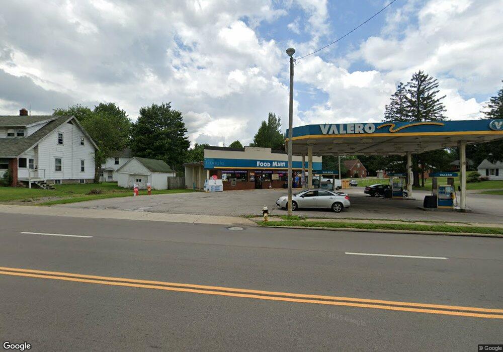
750 Lexington Ave Mansfield, OH 44907
--
Bed
--
Bath
1,653
Sq Ft
10,629
Sq Ft Lot
About This Home
This home is located at 750 Lexington Ave, Mansfield, OH 44907. 750 Lexington Ave is a home located in Richland County with nearby schools including Discovery School, St. Peter's Elementary/Montessori School, and St. Peter's High School/Junior High.
Ownership History
Date
Name
Owned For
Owner Type
Purchase Details
Closed on
Nov 16, 2010
Sold by
Lexington Market Inc
Bought by
Papoil Company Llc
Purchase Details
Closed on
Nov 5, 2004
Sold by
Mid Ohio Gas Inc
Bought by
Lexington Market Inc
Home Financials for this Owner
Home Financials are based on the most recent Mortgage that was taken out on this home.
Original Mortgage
$528,000
Interest Rate
5.83%
Mortgage Type
Commercial
Purchase Details
Closed on
Mar 7, 2003
Sold by
Englefield F W
Bought by
Mid Ohio Gas Inc
Create a Home Valuation Report for This Property
The Home Valuation Report is an in-depth analysis detailing your home's value as well as a comparison with similar homes in the area
Home Values in the Area
Average Home Value in this Area
Purchase History
| Date | Buyer | Sale Price | Title Company |
|---|---|---|---|
| Papoil Company Llc | $325,000 | Attorney | |
| Lexington Market Inc | $425,000 | Chicago Title | |
| Mid Ohio Gas Inc | $425,000 | -- |
Source: Public Records
Mortgage History
| Date | Status | Borrower | Loan Amount |
|---|---|---|---|
| Previous Owner | Lexington Market Inc | $528,000 |
Source: Public Records
Tax History Compared to Growth
Tax History
| Year | Tax Paid | Tax Assessment Tax Assessment Total Assessment is a certain percentage of the fair market value that is determined by local assessors to be the total taxable value of land and additions on the property. | Land | Improvement |
|---|---|---|---|---|
| 2024 | $2,573 | $36,200 | $16,360 | $19,840 |
| 2023 | $2,573 | $36,200 | $16,360 | $19,840 |
| 2022 | $2,790 | $34,720 | $14,880 | $19,840 |
| 2021 | $2,802 | $34,720 | $14,880 | $19,840 |
| 2020 | $2,845 | $34,720 | $14,880 | $19,840 |
| 2019 | $2,976 | $34,720 | $14,880 | $19,840 |
| 2018 | $2,963 | $34,720 | $14,880 | $19,840 |
| 2017 | $2,931 | $34,720 | $14,880 | $19,840 |
| 2016 | $2,950 | $34,620 | $14,880 | $19,740 |
| 2015 | $2,834 | $34,620 | $14,880 | $19,740 |
| 2014 | $2,803 | $34,620 | $14,880 | $19,740 |
| 2012 | $1,158 | $34,620 | $14,880 | $19,740 |
Source: Public Records
Map
Nearby Homes
- 0 George Ave
- 421 Edgewood Rd
- 431 Overlook Rd
- 589 Andover Rd
- 1009 Woodhill Rd
- 501 Clifton Blvd
- 484 Beechwood Dr
- 655 Woodhill Rd
- 1125 Larchwood Rd
- 476 Glendale Blvd
- 220 W Cook Rd
- 181 Chilton Ave
- 179 Chilton Ave
- 654 Courtwright Blvd
- 1156 Yorkwood Rd
- 505 Wood St
- 0 U S Highway 42
- 0 Lexington Ave Unit 224009661
- 1179 Burkwood Rd
- 1163 Woodland Rd
- 760 Lexington Ave
- 429 Stewart Ln
- 429 Stewart Ln
- 426 Stewart Ln
- 766 Lexington Ave
- 420 Stewart Ln Unit 422
- 436 Stewart Ln
- 431 Stewart Ln Unit 433
- 440 Stewart Ln
- 770 Lexington Ave
- 763 Yale Dr
- 446 Stewart Ln
- 769 Yale Dr
- 432 Stewart Ln
- 785 Lexington Ave Unit STE 212
- 785 Lexington Ave Unit STE 210
- 785 Lexington Ave
- 785 Lexington Ave Unit 200
- 710 Lexington Ave
- 779 Lexington Ave