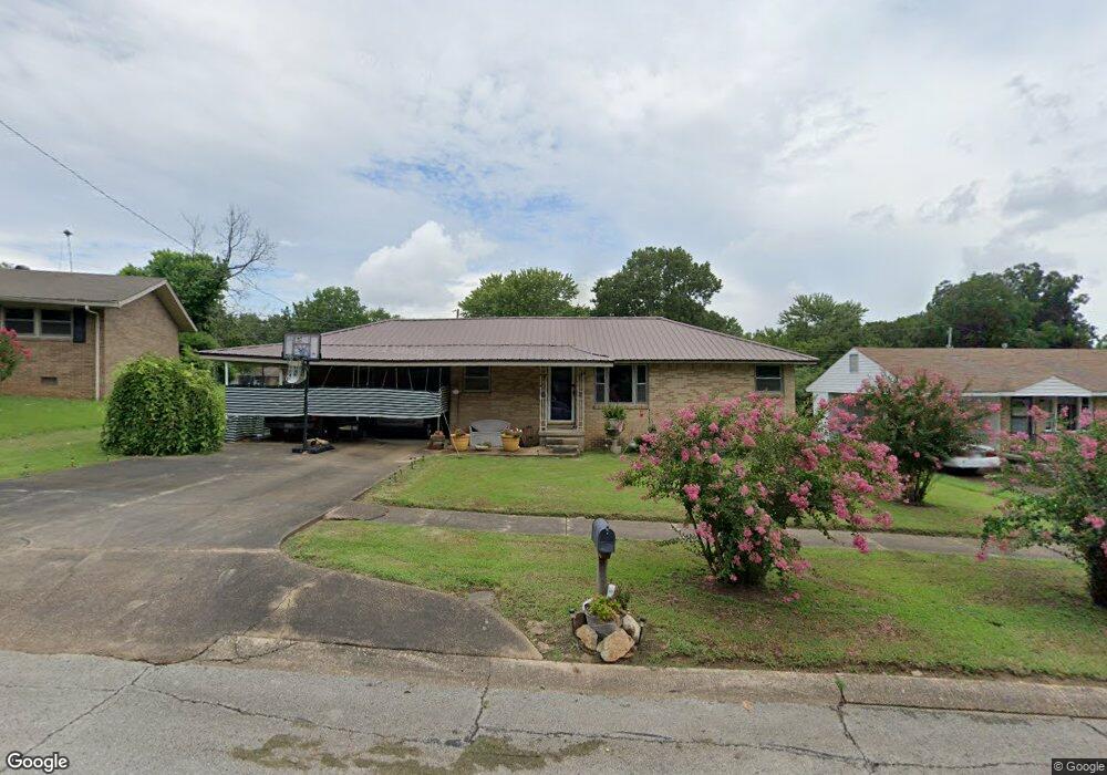
750 Locust Dr Jonesboro, AR 72401
Estimated Value: $125,149 - $147,000
Studio
1
Bath
1,296
Sq Ft
$107/Sq Ft
Est. Value
About This Home
This home is located at 750 Locust Dr, Jonesboro, AR 72401 and is currently estimated at $138,037, approximately $106 per square foot. 750 Locust Dr is a home located in Craighead County with nearby schools including Annie Camp Junior High School, The Academies at Jonesboro High School, and Concordia Christian Academy.
Ownership History
Date
Name
Owned For
Owner Type
Purchase Details
Closed on
Mar 28, 2008
Sold by
Terri V Mitchell & Hawker Financial Corp
Bought by
Simmons First Bank Of Jonesboro
Current Estimated Value
Home Financials for this Owner
Home Financials are based on the most recent Mortgage that was taken out on this home.
Original Mortgage
$53,095
Interest Rate
6.11%
Mortgage Type
Future Advance Clause Open End Mortgage
Purchase Details
Closed on
Mar 23, 1999
Bought by
Mitchell
Create a Home Valuation Report for This Property
The Home Valuation Report is an in-depth analysis detailing your home's value as well as a comparison with similar homes in the area
Home Values in the Area
Average Home Value in this Area
Purchase History
| Date | Buyer | Sale Price | Title Company |
|---|---|---|---|
| Simmons First Bank Of Jonesboro | $45,000 | None Available | |
| Mitchell | -- | -- |
Source: Public Records
Mortgage History
| Date | Status | Borrower | Loan Amount |
|---|---|---|---|
| Closed | Simmons First Bank Of Jonesboro | $53,095 |
Source: Public Records
Tax History
| Year | Tax Paid | Tax Assessment Tax Assessment Total Assessment is a certain percentage of the fair market value that is determined by local assessors to be the total taxable value of land and additions on the property. | Land | Improvement |
|---|---|---|---|---|
| 2025 | $864 | $20,468 | $3,000 | $17,468 |
| 2024 | $864 | $20,468 | $3,000 | $17,468 |
| 2023 | $807 | $20,468 | $3,000 | $17,468 |
| 2022 | $740 | $20,468 | $3,000 | $17,468 |
| 2021 | $689 | $16,320 | $3,000 | $13,320 |
| 2020 | $689 | $16,320 | $3,000 | $13,320 |
| 2019 | $689 | $16,320 | $3,000 | $13,320 |
| 2018 | $689 | $16,320 | $3,000 | $13,320 |
| 2017 | $667 | $16,320 | $3,000 | $13,320 |
| 2016 | $606 | $14,360 | $2,400 | $11,960 |
| 2015 | $606 | $14,360 | $2,400 | $11,960 |
| 2014 | $606 | $14,360 | $2,400 | $11,960 |
Source: Public Records
Map
Nearby Homes
- 901 Valley Dr
- 1109 Owens Ave
- 916 Twin Oaks Ave
- 724 Locust Dr
- 1309 Locust Dr
- 1401 Linden Ave
- 1500 Linden Ave
- 800 Southwest Dr
- 2315 S Culberhouse St
- 2005 Wood St
- 805 Southwest Dr
- 1823 James St
- 2318 Circle Dr
- 1916 Crestview St
- 900 Melton Dr
- 1908 Kenwood St
- 1904 Brookhaven Rd
- 1804 Roy St
- 1604 Roleson Ln
- 1016 Rosemond Ave
Your Personal Tour Guide
Ask me questions while you tour the home.