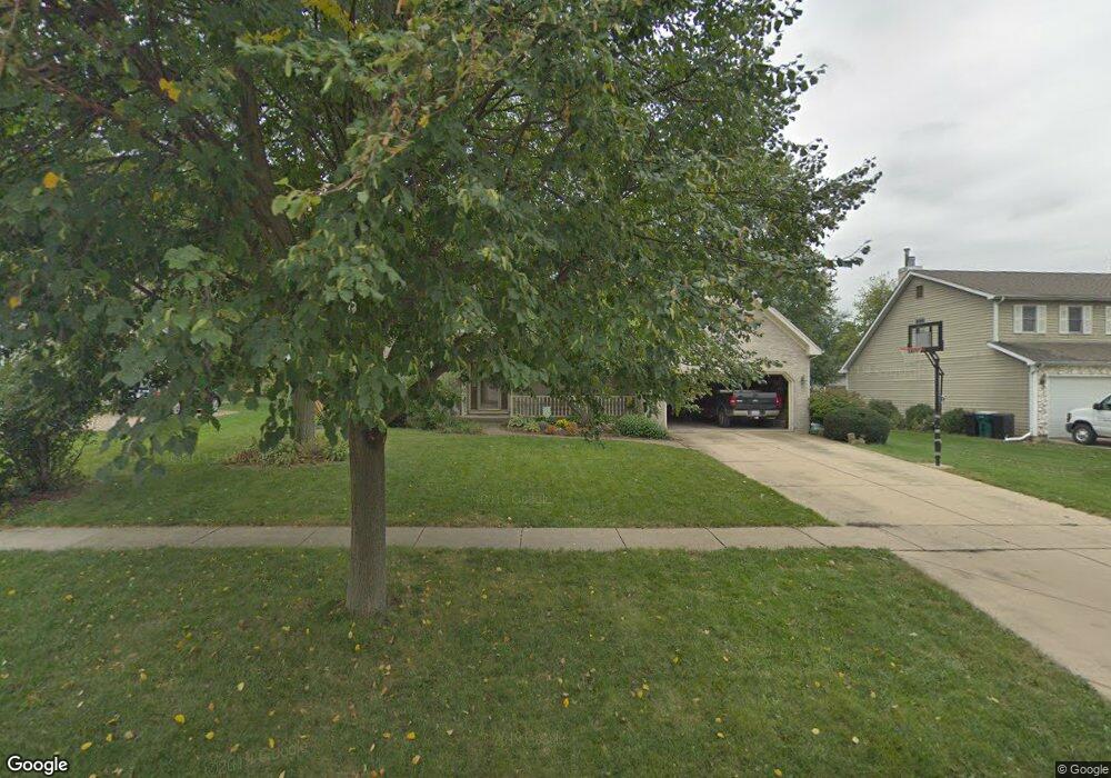
750 Mather Ln Batavia, IL 60510
Southeast Batavia NeighborhoodEstimated Value: $475,658 - $525,000
4
Beds
--
Bath
2,296
Sq Ft
$216/Sq Ft
Est. Value
About This Home
This home is located at 750 Mather Ln, Batavia, IL 60510 and is currently estimated at $496,915, approximately $216 per square foot. 750 Mather Ln is a home located in Kane County with nearby schools including J B Nelson Elementary School, Sam Rotolo Middle School, and Batavia Sr High School.
Ownership History
Date
Name
Owned For
Owner Type
Purchase Details
Closed on
Sep 29, 1994
Sold by
Nbd Bank
Bought by
Huiner Douglas B and Huiner Kimberlee K
Current Estimated Value
Home Financials for this Owner
Home Financials are based on the most recent Mortgage that was taken out on this home.
Original Mortgage
$125,000
Interest Rate
9.24%
Create a Home Valuation Report for This Property
The Home Valuation Report is an in-depth analysis detailing your home's value as well as a comparison with similar homes in the area
Home Values in the Area
Average Home Value in this Area
Purchase History
| Date | Buyer | Sale Price | Title Company |
|---|---|---|---|
| Huiner Douglas B | -- | Title Services Inc |
Source: Public Records
Mortgage History
| Date | Status | Borrower | Loan Amount |
|---|---|---|---|
| Previous Owner | Huiner Douglas B | $125,000 |
Source: Public Records
Tax History Compared to Growth
Tax History
| Year | Tax Paid | Tax Assessment Tax Assessment Total Assessment is a certain percentage of the fair market value that is determined by local assessors to be the total taxable value of land and additions on the property. | Land | Improvement |
|---|---|---|---|---|
| 2024 | $10,058 | $135,213 | $27,516 | $107,697 |
| 2023 | $9,844 | $122,720 | $24,974 | $97,746 |
| 2022 | $9,491 | $114,691 | $23,340 | $91,351 |
| 2021 | $9,111 | $108,774 | $22,136 | $86,638 |
| 2020 | $8,886 | $106,683 | $21,710 | $84,973 |
| 2019 | $8,739 | $102,906 | $20,941 | $81,965 |
| 2018 | $8,390 | $98,986 | $20,143 | $78,843 |
| 2017 | $8,186 | $95,722 | $19,479 | $76,243 |
| 2016 | $8,010 | $92,934 | $18,912 | $74,022 |
| 2015 | -- | $90,818 | $18,481 | $72,337 |
| 2014 | -- | $87,959 | $17,899 | $70,060 |
| 2013 | -- | $92,093 | $23,400 | $68,693 |
Source: Public Records
Map
Nearby Homes
- 1136 Pine Ct
- Lot 4 Manchester Ave
- Lot 1 Center St
- 129 S Prairie St
- 121 S Raddant Rd
- 637 E Wilson St
- 860 S River St
- 1025 E Wilson St
- 1310 Wintergreen Terrace
- 1155 Hanover Dr
- 1342 Chillem Dr
- 133 Mayflower Dr
- 404 S Batavia Ave
- 524 N College St
- 820 N Van Buren St
- 345 Main St
- 1627 Sauk Dr
- 710 N Van Buren St
- 1676 Carlstedt Dr
- 407 S Jackson St