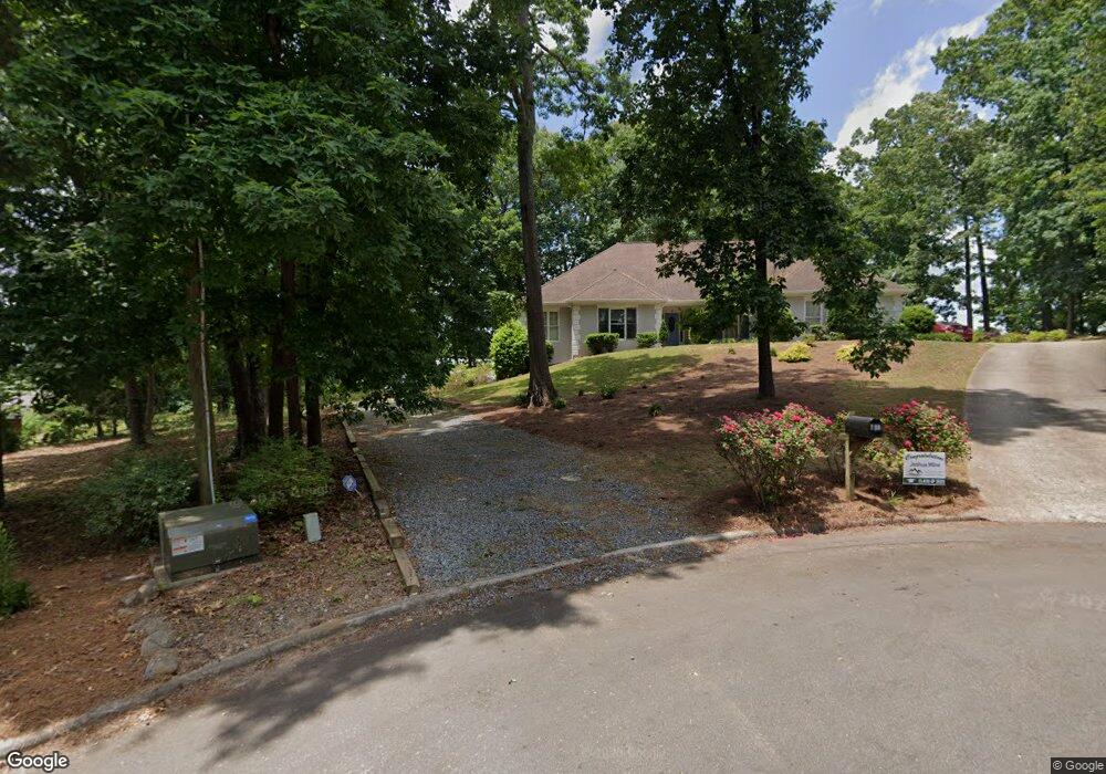
750 Melanie Ct Unit 1 Canton, GA 30115
Union Hill NeighborhoodEstimated Value: $630,000 - $739,014
5
Beds
4
Baths
4,236
Sq Ft
$159/Sq Ft
Est. Value
About This Home
This home is located at 750 Melanie Ct Unit 1, Canton, GA 30115 and is currently estimated at $673,004, approximately $158 per square foot. 750 Melanie Ct Unit 1 is a home located in Cherokee County with nearby schools including Avery Elementary School, Creekland Middle School, and Creekview High School.
Ownership History
Date
Name
Owned For
Owner Type
Purchase Details
Closed on
Nov 30, 2004
Sold by
Maule Walter D and Maule Joann
Bought by
Lyons Larry and Lyons Patricia
Current Estimated Value
Home Financials for this Owner
Home Financials are based on the most recent Mortgage that was taken out on this home.
Original Mortgage
$207,200
Outstanding Balance
$101,444
Interest Rate
5.6%
Mortgage Type
New Conventional
Estimated Equity
$571,560
Create a Home Valuation Report for This Property
The Home Valuation Report is an in-depth analysis detailing your home's value as well as a comparison with similar homes in the area
Home Values in the Area
Average Home Value in this Area
Purchase History
| Date | Buyer | Sale Price | Title Company |
|---|---|---|---|
| Lyons Larry | $259,000 | -- |
Source: Public Records
Mortgage History
| Date | Status | Borrower | Loan Amount |
|---|---|---|---|
| Open | Lyons Larry | $207,200 |
Source: Public Records
Tax History Compared to Growth
Tax History
| Year | Tax Paid | Tax Assessment Tax Assessment Total Assessment is a certain percentage of the fair market value that is determined by local assessors to be the total taxable value of land and additions on the property. | Land | Improvement |
|---|---|---|---|---|
| 2025 | $1,378 | $232,932 | $46,000 | $186,932 |
| 2024 | $1,824 | $227,732 | $40,000 | $187,732 |
| 2023 | $1,850 | $220,732 | $40,000 | $180,732 |
| 2022 | $1,885 | $209,292 | $33,600 | $175,692 |
| 2021 | $1,316 | $169,696 | $20,000 | $149,696 |
| 2020 | $1,268 | $160,900 | $20,000 | $140,900 |
| 2019 | $1,287 | $160,360 | $20,000 | $140,360 |
| 2018 | $1,062 | $125,960 | $20,000 | $105,960 |
| 2017 | $1,077 | $294,600 | $20,000 | $97,840 |
| 2016 | $1,077 | $286,100 | $20,000 | $94,440 |
| 2015 | $1,010 | $262,300 | $20,000 | $84,920 |
| 2014 | $876 | $228,300 | $12,200 | $79,120 |
Source: Public Records
Map
Nearby Homes
- 710 Melanie Ct
- 109 Hawks Bend
- 201 Windflower Ct
- 124 Long Shadows Dr
- 122 Long Shadows Dr
- 1000 Haddie Way
- 9160 Union Hill Rd
- 6000 Union Hill Rd
- 1005 Haddie Way
- 231 Aster Trace
- 215 Woodland Brook Dr
- 9530 Union Hill Rd
- 517 Hayes Ln
- 162 Carmichael Dr
- 487 Carmichael Cir
- 326 Seldom Seen Trail
- 5219 Union Hill Rd
- 963 Mill Creek Ave
- 112 Puckett Ct
- 352 Woodmont Ct
- 725 Melanie Ct
- 2250 Lansdowne Dr
- 715 Melanie Ct Unit I
- 2240 Lansdowne Dr
- 690 Melanie Ct
- 2260 Lansdowne Dr
- 695 Melanie Ct
- 2230 Lansdowne Dr
- 670 Melanie Ct
- 2220 Lansdowne Dr
- 2180 Lansdowne Dr
- 685 Melanie Ct
- 2270 Lansdowne Dr
- 2255 Lansdowne Dr
- 675 Melanie Ct
- 2170 Lansdowne Dr
- 2275 Lansdowne Dr
- 665 Melanie Ct Unit 1
- 655 Melanie Ct
- 2150 Lansdowne Dr