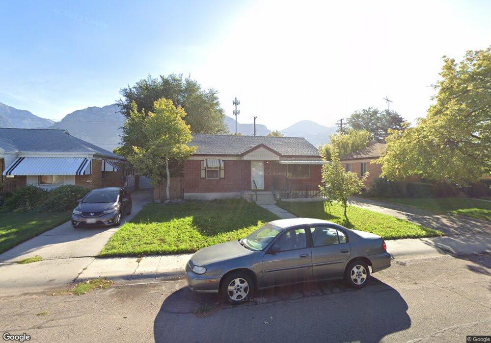
750 N 380 W Provo, UT 84601
Rivergrove NeighborhoodEstimated Value: $448,000 - $514,000
2
Beds
2
Baths
888
Sq Ft
$537/Sq Ft
Est. Value
About This Home
This home is located at 750 N 380 W, Provo, UT 84601 and is currently estimated at $477,102, approximately $537 per square foot. 750 N 380 W is a home located in Utah County with nearby schools including Timpanogos Elementary School, Dixon Middle School, and Provo High School.
Ownership History
Date
Name
Owned For
Owner Type
Purchase Details
Closed on
Jun 10, 2005
Sold by
Battistone Angela
Bought by
Battistone Dann and Battistone Angela
Current Estimated Value
Home Financials for this Owner
Home Financials are based on the most recent Mortgage that was taken out on this home.
Original Mortgage
$122,800
Outstanding Balance
$63,944
Interest Rate
5.72%
Mortgage Type
Fannie Mae Freddie Mac
Estimated Equity
$413,158
Create a Home Valuation Report for This Property
The Home Valuation Report is an in-depth analysis detailing your home's value as well as a comparison with similar homes in the area
Home Values in the Area
Average Home Value in this Area
Purchase History
| Date | Buyer | Sale Price | Title Company |
|---|---|---|---|
| Battistone Dann | -- | Title West Title Company | |
| Battistone Angela | -- | Title West Title Company |
Source: Public Records
Mortgage History
| Date | Status | Borrower | Loan Amount |
|---|---|---|---|
| Open | Battistone Angela | $122,800 | |
| Closed | Battistone Dann | $122,800 |
Source: Public Records
Tax History Compared to Growth
Tax History
| Year | Tax Paid | Tax Assessment Tax Assessment Total Assessment is a certain percentage of the fair market value that is determined by local assessors to be the total taxable value of land and additions on the property. | Land | Improvement |
|---|---|---|---|---|
| 2025 | $2,356 | $248,050 | $194,100 | $256,900 |
| 2024 | $2,356 | $231,935 | $0 | $0 |
| 2023 | $2,380 | $231,000 | $0 | $0 |
| 2022 | $2,273 | $222,365 | $0 | $0 |
| 2021 | $1,651 | $281,700 | $115,900 | $165,800 |
| 2020 | $1,601 | $256,100 | $105,400 | $150,700 |
| 2019 | $1,460 | $242,900 | $92,200 | $150,700 |
| 2018 | $1,303 | $219,900 | $88,900 | $131,000 |
| 2017 | $1,164 | $107,910 | $0 | $0 |
| 2016 | $1,039 | $89,760 | $0 | $0 |
| 2015 | $929 | $81,125 | $0 | $0 |
| 2014 | -- | $76,945 | $0 | $0 |
Source: Public Records
Map
Nearby Homes
- 556 W 800 N Unit 18
- 810 N 600 W
- 828 N 600 W
- 595 N 600 W
- 836 N University Ave Unit 111
- 361 N 300 W Unit 201
- 614 W 400 N
- 620 N 800 W
- 270 N 400 W
- 209 N 400 W
- 440 N 800 W
- 548 N 850 W
- 250 N 100 W Unit 109
- 266 N 700 W
- 902 W 500 N
- 136 E 400 N Unit 107
- 952 N 1000 W Unit 2
- 466 N 200 E
- 75 E 200 N Unit 106
- 98 W 1230 N Unit 225