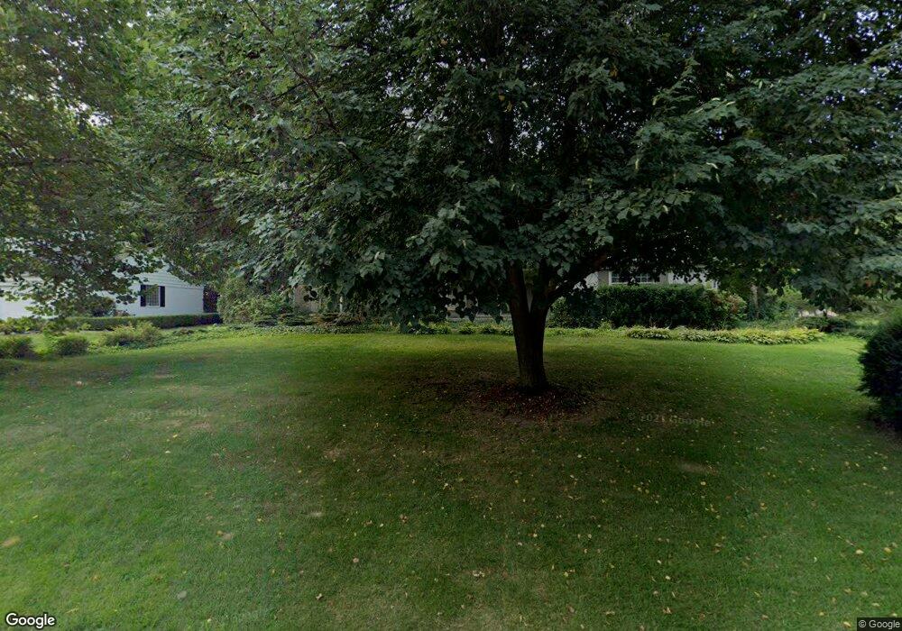
750 N Shady Hollow Cir Bloomfield Hills, MI 48304
Estimated Value: $645,573 - $967,000
4
Beds
3
Baths
2,600
Sq Ft
$292/Sq Ft
Est. Value
About This Home
This home is located at 750 N Shady Hollow Cir, Bloomfield Hills, MI 48304 and is currently estimated at $760,393, approximately $292 per square foot. 750 N Shady Hollow Cir is a home located in Oakland County with nearby schools including Harlan Elementary School, Ernest W. Seaholm High School, and Roeper City and Country Upper.
Ownership History
Date
Name
Owned For
Owner Type
Purchase Details
Closed on
Sep 17, 2019
Sold by
Nordquist Kim A
Bought by
Nordquist Michael I
Current Estimated Value
Purchase Details
Closed on
Feb 19, 2010
Sold by
Apap John and Apap Bridget
Bought by
Nordquist Michael I and Nordquist Kim A
Purchase Details
Closed on
May 9, 2006
Sold by
Kelly Maureen C and Kelly Gregory M
Bought by
Deutsche Bank National Trust Co
Purchase Details
Closed on
Aug 13, 2003
Sold by
Cook Richard J
Bought by
Kelly Gregory and Kelly Maureen C
Create a Home Valuation Report for This Property
The Home Valuation Report is an in-depth analysis detailing your home's value as well as a comparison with similar homes in the area
Home Values in the Area
Average Home Value in this Area
Purchase History
| Date | Buyer | Sale Price | Title Company |
|---|---|---|---|
| Nordquist Michael I | -- | None Available | |
| Nordquist Michael I | $345,000 | Devon Title Agency | |
| Deutsche Bank National Trust Co | $393,091 | None Available | |
| Kelly Gregory | $420,500 | Capital Title Ins Agency |
Source: Public Records
Tax History Compared to Growth
Tax History
| Year | Tax Paid | Tax Assessment Tax Assessment Total Assessment is a certain percentage of the fair market value that is determined by local assessors to be the total taxable value of land and additions on the property. | Land | Improvement |
|---|---|---|---|---|
| 2024 | $3,414 | $282,860 | $0 | $0 |
| 2023 | $3,276 | $250,900 | $0 | $0 |
| 2022 | $5,546 | $236,170 | $0 | $0 |
| 2021 | $5,592 | $233,580 | $0 | $0 |
| 2020 | $3,147 | $234,170 | $0 | $0 |
| 2019 | $5,583 | $228,030 | $0 | $0 |
| 2018 | $5,541 | $219,430 | $0 | $0 |
| 2017 | $5,591 | $215,300 | $0 | $0 |
| 2016 | $5,568 | $209,020 | $0 | $0 |
| 2015 | -- | $188,360 | $0 | $0 |
| 2014 | -- | $188,900 | $0 | $0 |
| 2011 | -- | $143,550 | $0 | $0 |
Source: Public Records
Map
Nearby Homes
- 2991 Lanergan Dr
- 2840 Bolingbroke Dr
- 4731 Haddington Dr
- 0000 Brookdale Rd
- 1333 N Adams Rd
- 1330 Oxford Rd
- 680 Shepardbush St
- 654 Shepardbush St
- 2650 Binbrooke Dr
- 3014 Caswell Dr
- 000 N Adams Rd
- 3036 Newport Ct
- 5554 Pine Brooke Ct
- 4144 Rouge Circle Dr
- 4890 Charing Cross Rd
- 928 Poppleton St
- 1225 Derby Rd Unit 1
- 2154 Babcock Dr
- 850 N Adams Rd
- 878 Brooklawn Dr
- 807 Thorntree Ct
- 764 N Shady Hollow Cir
- 5030 Chain Bridge Rd
- 829 Thorntree Ct
- 749 N Shady Hollow Cir
- 761 N Shady Hollow Cir
- 778 N Shady Hollow Cir
- 841 Thorntree Ct
- 5042 Chain Bridge Rd
- 769 N Shady Hollow Cir Unit Bldg-Unit
- 769 N Shady Hollow Cir
- 729 N Shady Hollow Cir
- 726 N Shady Hollow Cir
- 741 N Shady Hollow Cir
- 781 N Shady Hollow Cir
- 5053 Chain Bridge Rd
- 742 Tennyson Downs Ct
- 816 Thorntree Ct
- 830 Thorntree Ct
- 5054 Chain Bridge Rd
