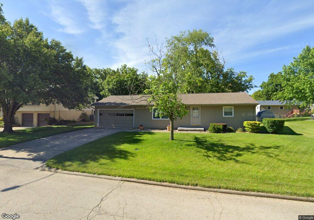
750 N Whitetail Cir Mount Zion, IL 62549
Estimated Value: $154,000 - $181,000
3
Beds
2
Baths
1,315
Sq Ft
$128/Sq Ft
Est. Value
About This Home
This home is located at 750 N Whitetail Cir, Mount Zion, IL 62549 and is currently estimated at $168,169, approximately $127 per square foot. 750 N Whitetail Cir is a home located in Macon County with nearby schools including McGaughey Elementary School, Mt. Zion Intermediate School, and Mt. Zion Elementary School.
Ownership History
Date
Name
Owned For
Owner Type
Purchase Details
Closed on
May 10, 2005
Sold by
Newland Scott
Bought by
Newland Scott
Current Estimated Value
Home Financials for this Owner
Home Financials are based on the most recent Mortgage that was taken out on this home.
Original Mortgage
$45,000
Outstanding Balance
$23,899
Interest Rate
6.13%
Mortgage Type
New Conventional
Estimated Equity
$144,270
Create a Home Valuation Report for This Property
The Home Valuation Report is an in-depth analysis detailing your home's value as well as a comparison with similar homes in the area
Home Values in the Area
Average Home Value in this Area
Purchase History
| Date | Buyer | Sale Price | Title Company |
|---|---|---|---|
| Newland Scott | $85,000 | Decatur Title Co Llc |
Source: Public Records
Mortgage History
| Date | Status | Borrower | Loan Amount |
|---|---|---|---|
| Open | Newland Scott | $45,000 |
Source: Public Records
Tax History Compared to Growth
Tax History
| Year | Tax Paid | Tax Assessment Tax Assessment Total Assessment is a certain percentage of the fair market value that is determined by local assessors to be the total taxable value of land and additions on the property. | Land | Improvement |
|---|---|---|---|---|
| 2024 | $3,279 | $48,007 | $7,261 | $40,746 |
| 2023 | $3,156 | $44,649 | $6,753 | $37,896 |
| 2022 | $3,008 | $42,349 | $6,405 | $35,944 |
| 2021 | $2,905 | $39,674 | $6,000 | $33,674 |
| 2020 | $2,666 | $37,271 | $5,592 | $31,679 |
| 2019 | $2,666 | $37,271 | $5,592 | $31,679 |
| 2018 | $2,579 | $36,319 | $5,449 | $30,870 |
| 2017 | $2,539 | $35,621 | $5,344 | $30,277 |
| 2016 | $2,510 | $35,001 | $5,251 | $29,750 |
| 2015 | $2,425 | $34,654 | $5,199 | $29,455 |
| 2014 | $2,337 | $34,654 | $5,199 | $29,455 |
| 2013 | $2,365 | $34,654 | $5,199 | $29,455 |
Source: Public Records
Map
Nearby Homes
- 570 Fawn Ct
- 1625 Ridgewood Ct
- 1700 Brentwood Dr
- 860 W Wildwood Dr
- 1610 Robin Ct
- 695 Country Ct
- 3930 S Mount Zion Rd
- 9 Blakeridge Place
- 1030 Country Manor
- 1440 N Alexander Dr
- 125 W Walnut St
- 50 Sundance Dr
- 265 Carrington Ave
- 524 Elm St
- 5909 Camp Warren Rd
- 2125 Buckhead Ave
- 3330 S Baltimore Ave
- 2110 Buckhead Ln
- 1935 Buckhead Ct
- 2035 Buckhead Blvd
- 760 N Whitetail Cir
- 730 N Whitetail Cir
- 735 Fawn Ct
- 745 Fawn Ct
- 770 N Whitetail Cir
- 745 N Whitetail Cir
- 755 N Whitetail Cir
- 735 N Whitetail Cir
- 725 Fawn Ct
- 780 N Whitetail Cir
- 765 N Whitetail Cir
- 720 N Whitetail Cir
- 725 N Whitetail Cir
- 750 Fawn Ct
- 715 Fawn Ct
- 715 N Whitetail Cir
- 760 S Whitetail Cir
- 750 S Whitetail Cir
- 825 N Whitetail Cir
- 790 N Whitetail Cir