750 Old Decatur Rd Decatur, TX 76234
Estimated Value: $635,000
--
Bed
--
Bath
792
Sq Ft
$802/Sq Ft
Est. Value
About This Home
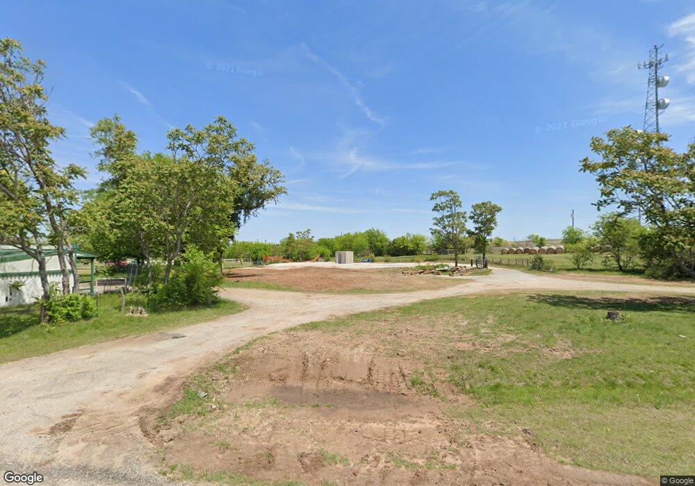
This home is located at 750 Old Decatur Rd, Decatur, TX 76234 and is currently priced at $635,000, approximately $801 per square foot. 750 Old Decatur Rd is a home located in Wise County with nearby schools including Decatur High School and Victory Christian Academy.
Ownership History
Date
Name
Owned For
Owner Type
Purchase Details
Closed on
Mar 30, 2020
Sold by
Larson Eric J
Bought by
York Jeremy L and York Lea S
Current Estimated Value
Purchase Details
Closed on
Jun 29, 2018
Sold by
Davis Norma J and Davis Norma
Bought by
Davis Norma Joyce and Norma Joyce Davis Living Trust
Purchase Details
Closed on
Dec 4, 1997
Bought by
Davis Norma J
Purchase Details
Closed on
Jan 9, 1996
Bought by
Davis Norma J
Purchase Details
Closed on
Jan 1, 1901
Bought by
Davis Norma J
Create a Home Valuation Report for This Property
The Home Valuation Report is an in-depth analysis detailing your home's value as well as a comparison with similar homes in the area
Home Values in the Area
Average Home Value in this Area
Purchase History
| Date | Buyer | Sale Price | Title Company |
|---|---|---|---|
| York Jeremy L | -- | None Available | |
| Davis Norma Joyce | -- | None Available | |
| Davis Norma J | -- | -- | |
| Davis Norma J | -- | -- | |
| Davis Norma J | -- | -- |
Source: Public Records
Tax History Compared to Growth
Tax History
| Year | Tax Paid | Tax Assessment Tax Assessment Total Assessment is a certain percentage of the fair market value that is determined by local assessors to be the total taxable value of land and additions on the property. | Land | Improvement |
|---|---|---|---|---|
| 2025 | $2,048 | $167,317 | $20,441 | $146,876 |
| 2024 | $2,048 | $168,159 | $20,420 | $147,739 |
| 2023 | $1,626 | $134,598 | $0 | $0 |
| 2022 | $1,680 | $109,471 | $0 | $0 |
| 2021 | $8,640 | $572,260 | $48,280 | $523,980 |
| 2020 | $8,099 | $532,770 | $38,890 | $493,880 |
| 2019 | $7,496 | $466,050 | $36,580 | $429,470 |
| 2018 | $7,946 | $447,630 | $33,760 | $413,870 |
| 2017 | $7,556 | $425,680 | $29,370 | $396,310 |
| 2016 | $6,539 | $373,270 | $27,350 | $345,920 |
| 2015 | -- | $348,360 | $24,530 | $323,830 |
| 2014 | -- | $385,740 | $58,200 | $327,540 |
Source: Public Records
Map
Nearby Homes
- 918 Old Decatur Rd
- 165 Quail Ridge Ct
- 175 Quail Ridge Ct
- 3092 N Trinity St
- 1952 Old Decatur Rd
- 114 Cemetery Rd
- 2811 N Trinity St
- 362 Decatur Cemetery Rd
- Lot 12 Cedar Springs Estates
- 835 County Road 2175
- 205 Private Road 2202 Unit 2194
- 135 Private Road 2202
- 150 Private Road 2202
- 136 Private Road 2202
- 166 Private Road 2202
- 279 Private Road 2202
- 237 Private Road 2202
- 340 Private Road 2202
- 345 Private Road 2202
- 173 Private Road 2202
- 742 Old Decatur Rd
- 726 Old Decatur Rd
- 108 Cedar Oak Dr
- 108 Cedar Oak Dr
- 125 Quail Ridge Ct
- 135 Quail Ridge Ct
- 885 Old Decatur Rd
- 145 Quail Ridge Ct
- 919 Old Decatur Rd
- Lot 13 Quail Ridge Developmen
- Lot 7 Quail Ridge Developmen
- Lot 22 Quail Ridge Developmen
- TBD Lt 11 Old Decatur Rd
- TBD Lt 10 Old Decatur Rd
- 110 Quail Ridge Ct
- 185 Quail Ridge Ct
- 120 Quail Ridge Ct
- 140 Quail Ridge Ct
- 140 Quail Ridge Ct
- 195 Quail Ridge Ct